Tuesday April 22nd
And it's Ho! Let’s Go to Pittsburgh; where the Allegheny ends, the Ohio starts, and the Great Wisconsin Ice Sheet met its end.
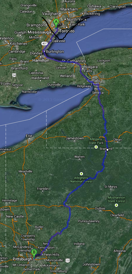
The original plan was to take a leisurely two-day drive through the Allegheny National Forest, but Graduation was on a Friday, and the hotel wasn’t available that day, so we jumped on to the I-90 to Erie then hung a left until we could take the Pennsylvania Pike to highway 376, which put us within 5 miles of our hotel.
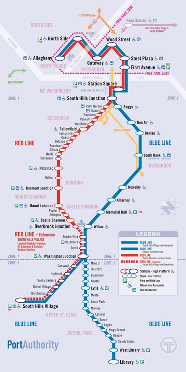
One of my goals was to travel and study the Pittsburgh-T (T for Trolley) which I rode some quarter of a century ago.
Another goal was to show Ms B the Allegheny River at its mouth, the same river she had jumped eight years ago.
As well I wanted to stand a while at the point when the Wisconsin Ice Sheet ended and Global Warming started some 11,000 years ago.
So down the QEW, five minutes at the border, and next thing you know we are screaming past the northern end of the Buffalo-Pittsburgh road – and straight into fog.
Shades of our Florida trip two months ago.
This time, though, the on-ramp to I-79 south at Erie was less cold and distinctly less treacherous!
I love this sign. It pops up all over Pennsylvania
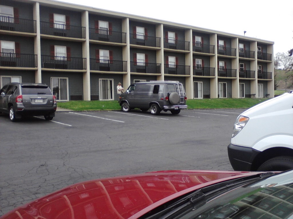
And here we are at The Comfort Inn in Monroeville. For three days.
We had a great view of the hills.
That’s a joke.
Pittsburgh is nothing BUT hills.
And valleys.
I lug the bags into the room but leave the cola in the trunk.
I’ve heard of carrying Coals to Newcastle, but Coke to Pittsburgh is just as ridiculous.
The room is up to the usual standards, but the common fittings are shabby; in theory the motel is being remodeled.
Supper was at the Esta Esta restaurant on the old highway 22; we chose the veal Parmigianino, and ate two slices each, keeping the third (each) for a sandwich lunch the next day.
I’m happy to report that the veal was just as tender and tasty the next day.
We set off the next day for Toronto, but got a bit lost. I drove to an air force refueling base and took this photo while the guardsman went to find out how we could get back on 22 West.
Oddly, the jet rests on a stand just like my Airfix models of fifty years ago!
Almost there. The sign reads “Toronto next 2 exits”, not at all like our Toronto!
And here is the sign to greet us; I remember this sign from 25 years ago, or perhaps its predecessor.
Why “Gem City”? Apparently early tug captains used to stop off here for supplies, and declared it “A Gem of a City”. The moniker stuck.
I had told Ms B that the streets were lined with jewelers shops.
I lied, but it got us there.
We had lunch on the banks of the Ohio river; here we are looking south.
I suspect that the mooring posts are designed to accommodate flood levels on the river.
An over-exposed shot across the river to the left (eastern) bank.
Then upstream, with a brave display of Forsythia, I think.
Next stop: The Municipal building, since the fire house had not showed up on our GPS unit.
Here is the smiling Frank McCuen, Fire Chief, who gave me a cloth badge to present to the local fire hall in MY Toronto.
I took a shot of some ancillary equipment behind the station.
Then it was off upstream (northwards at this point) towards the limit of the Wisconsin Ice Sheet.
We drive past some locks; that’s a train of barges tied up waiting for passage.
Then it is time to (practically) drive through a factory.
Since we had already stayed in Wellsville NY , we decided to sit on a bench in Wellsville OH .
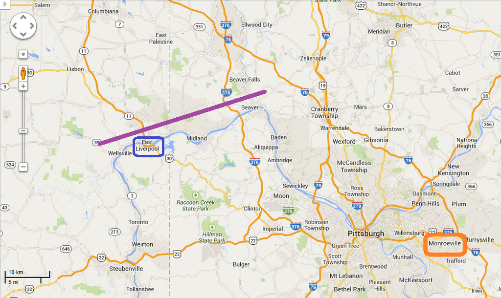
If you take a look in your atlas you will see that the Allegheny and Monongahela rivers merge at Pittsburgh to form the Ohio river. The Ohio heads NNW out of town for about twenty miles, makes a sharp left and travels WSW for about twenty miles, then makes another sharp left and heads south to Cairo on the Mississippi river.
Those two sharp turns indicate where the Ohio river was turned back from its original NW course by the Great Wisconsin Ice Sheet.
The broad purple line in the image above marks (approximately) part of the boundary.
We were sitting on the bank of the river as it made its second left-hand turn. We sat where the ice sheet ended 13,000 years ago. It came no further than our bench!
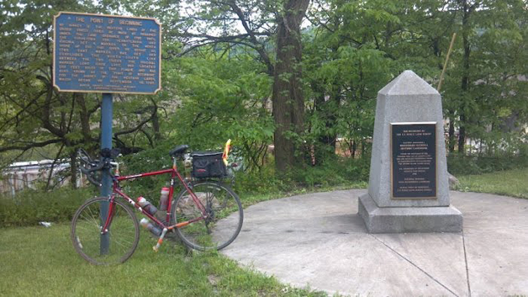
More than that: East Liverpool is the site of the memorial to Thomas Jefferson’s idea of westward expansion.
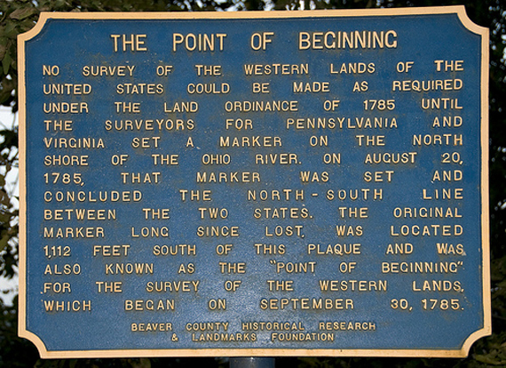
This spot chosen by the surveyor Hutchins is the intersection of the latitude 40°38’33” North and longitude 80°31’10” West. These two baselines are the origins of the survey of America. The east-west line is known as The Geographer’s Line, and extends all the way to the Pacific Ocean.
Here is that second left-hand bend, pretty well a right-angle turn.
On the same bank of the river you can see a freight train making its way towards us.
A minute later I took another shot, the wagons continue to arrive from our right and make their way towards us.
At this time the locomotives were almost upon us. This is some long freight train!
So we sat and counted wagons. I think we got to 189 wagons.
Then it was gone. Eight minutes to pass us.
Then off to the Macy’s store in Robinson. Oh well, it was on our way back. Sort of.
Last week I wrote a letter to http://www.thenewspaper.ca/ protesting the emphasis on recycling.
I was pleased to see in the mall washrooms that they have the correct mantra – REDUCE, ReUse, recycle – in that order.
The next day we drove to the West Library station of the BLU (sic) line of the T.
Google maps said that the best route to get to the end of the line was to take the 376 to downtown Pittsburgh, then drive out again.
I stubbornly refused to drive downtown so I could drive out of town to catch the trolley to downtown, so we went across town, putting our trust in the GPS.
If I had been more on the ball, I would have guessed the “Belt” signs would help. The sign above is for the Blue Belt (not to be confused with the BLU line of the “T”).
We seemed to be following the Yellow belt under the guidance of the GPS.
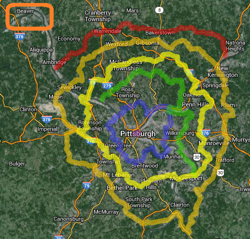
Here is a Google Maps representation of the belt lines.
The belts were signed/devised to help people move around Pittsburgh. A task that is thoroughly confusing on account of the valleys.
Navigation is made difficult by the fact that most of the time you are driving in a deep valley; cross-city landmarks can’t be seen.
Downtown Pittsburgh can’t be seen as you approach from the south until you pop out of a tunnel on the bank of the Monongahela River.
Another shot of The Pennsylvanian Alps, with the 2:45 KLM flight 847 passing overhead.
(Joke!)
And here we are in downtown Pittsburgh, exiting at the Wood Street station. We ate at the first restaurant we saw after McDonalds. Turned out to be a business restaurant, McCormick and Schmicks , everyone in suits drinking mineral water. We stood out like sore tourists. Food was excellent.
Out on the street; there are more people in downtown Pittsburgh than in Jacksonville, but still nothing like the streets of Toronto.
We wandered into, and out of, Market Square.
I think this is the equivalent of Dundas Square in Toronto. Eateries line the sides of the square.
There is a crane in downtown Pittsburgh. It is building a building.
In downtown Toronto there seem to be two building sites - and hence a minimum of two cranes - on every street.
We set off to walk to the park where the three rivers meet.
The yellow Fort Pitt bridge spans the Monongahela river just above its mouth.
More blossom, everywhere we look there is blossom; but the air is still chilly.
Buildings line the high banks of the river.
Here Ms B stares across the Allegheny and, I hope, revels in the knowledge that she once jumped across the river; although not at this spot.
There is a great fountain, spurting up about fifty feet into the air.
A shot from the merge point of the two rivers that form the Ohio river.
I was a bit disappointed. A quarter century ago, I was able to lie on my stomach with one hand in each river, and the rivers were different colours, so I could see the merge-point within two feet of my eyes. Today the merge point was indistinct.
A view upstream of the Monongahela.
Ms B asked for a photo of the houses, so I obliged.
And then a close-up shot.
That’s the northern portal of the Fort Pitt Tunnel; it bores through the ridge and appears on the other side of the ridge.
Here is the Duquesne incline railway.
A clearer view of the station at the foot of the line.
We were blessed with another freight train, this one too heading down-river.
Look! The two cars are in motion on the incline. One serves as a counter-weight to the other; in theory this allows some energy to be reclaimed, the potential energy of the descending car.
Another shot of the fountain in “full spurt”.
We laughed when we saw this unfinished work; we thought it would be perfect for Toronto – The Unfinished City. The artist, Ed Trask, laughed when we told him.
Here is Ed, in a pose.
Ruby-the-dog proving that besides horses, you can lead a dog to water but can’t make her take a drink!
Back in downtown, Ms B waits while I set off to get refreshments from McDonalds.
A striking thing about downtown Pittsburgh is the space between buildings. Not all the buildings are sky-scrapers.
As well, the streets are immaculate; not much litter at all, that we could see, and the sidewalks do not suffer from frost-heaves.
Another view of sky visible between buildings.
When we are finished our refreshments we will enter the Gateway station, shown here with its glass shelter, and take the “T” back to the car.
Meanwhile we watched the local cars try to run down pedestrians who were trying to cross at the pedestrian crossing.
Cars regularly block the crosswalks. These two miscreants have left their tails hanging over the edge.
Ditto.
We watched as two buses parked themselves across the crosswalk, forcing pedestrians to make wide detours through the traffic.
We saw two guys alight from a bus, and almost get wiped out by a Mr. Geek van speeding blindly through the crosswalk.
Friday; time to leave and wend our way home over two days for what is a six-hour drive by the Interstate Highways.
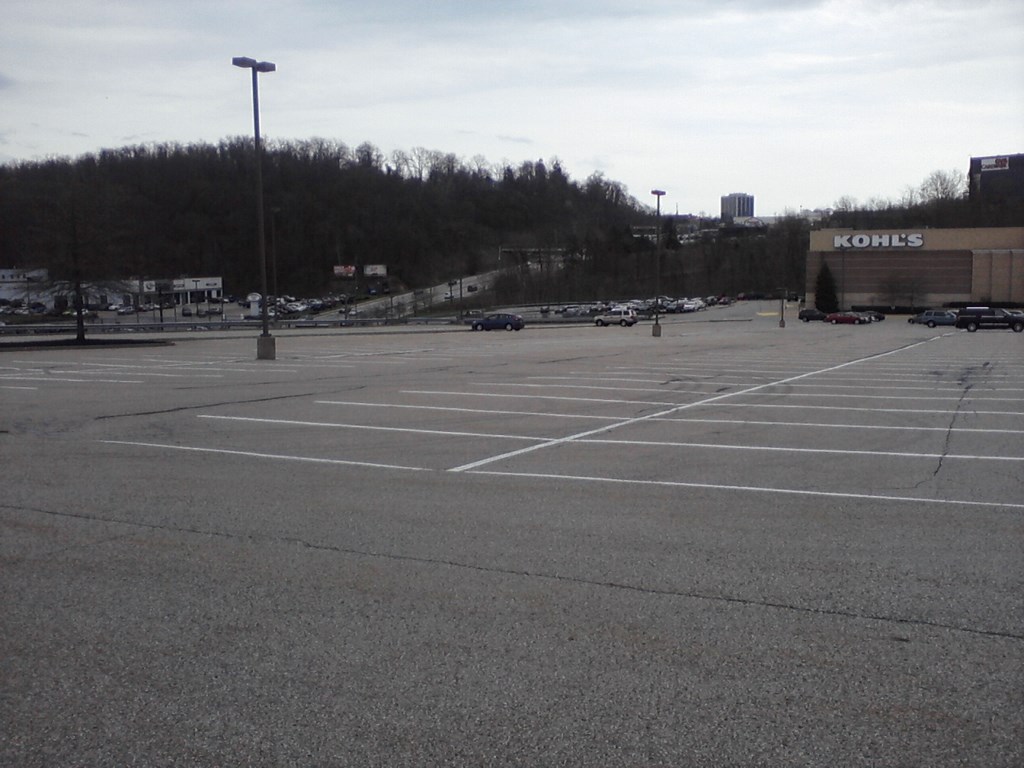
Ms B had some urgent business at yet-another-department-store, so I exercised (“strolled”) around the parking lot until the rain began.
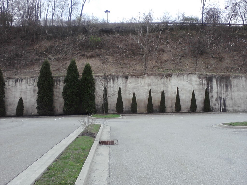
Kohl’s is, of course, built into a hillside. Where else is there to build in Pittsburgh?
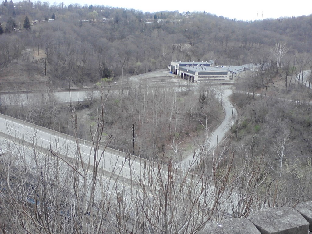
The view is not bad. That’s the old highway 22 (William Penn Highway) in the foreground, and a view of a Union Pacific(?) shed near the centre.
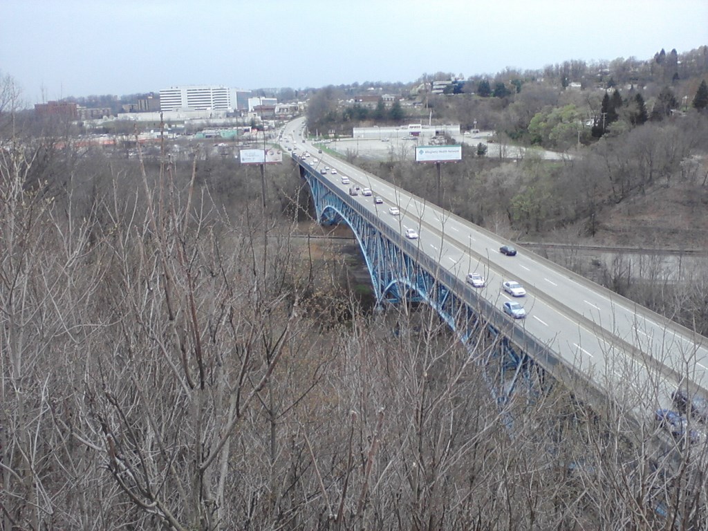
A view to the west along the William Penn Highway; we had arrived from the west not five minutes ago. The ramp up to the Kohl’s parking lot is amazing.
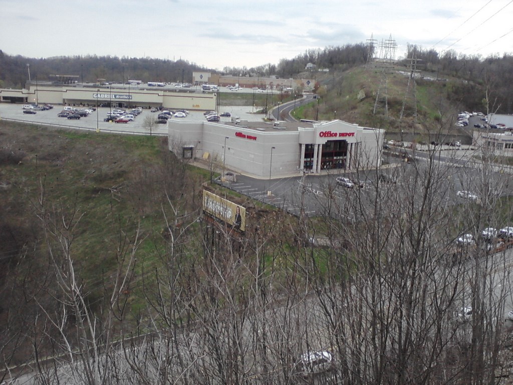
Across the other side of the William Penn Highway are more big-box stores, steep ramps leading to the parking lots.
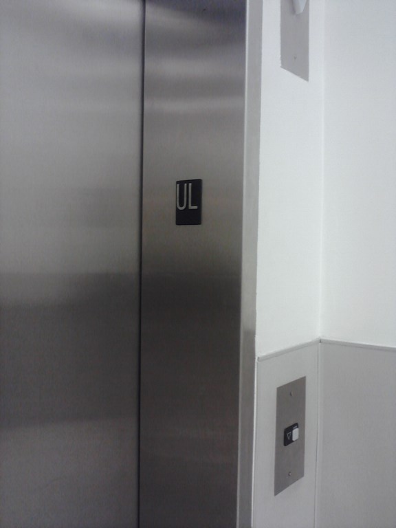
I wandered into Kohl’s, out of the rain and towards the washrooms.
The elevators are an adventure.
Here I am at the “Upper Level” as described by the floor stand set up by Kohl’s, and indicated by “UL” on the elevator frame.
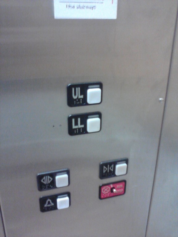
Inside the elevator car we have an option of Upper or Lower Levels, according to the buttons.
Got it!
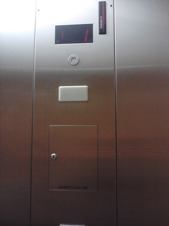
But the in-car display shows “1” or “2”.
Now why not make the display labels match the hard-coded labels?
These mysteries occupy my mind ...
Then it’s back on the William Penn Highway, eastbound, until we reach highway 66 which will take us to Kane.
It has long been an ambition of mine to travel “Route 66”.
Ms B was delighted for about a mile or so.
We travel up the other love of my life – The Allegheny River, and I can’t resist taking a photo while we are in motion. The rain falls and only later do I notice the car behind me, I am so entranced by the river.
We stopped in Kittanning for lunch but were in the wrong part of town.
We ate at Millers Hoagies(?), a clean place that served hot-dogs. Aaaargh.
Outside we spotted four blossoming fruit trees outside a crisp church.
Why can’t we have blossoming fruit trees in Toronto towards the end of April?
I just love this sign!
And so to Kane; we used the GPS to mooch around checking out hotels, but found nothing up to our modest standards. I was tempted to risk the place on Greeves Street, but decided against it.
I mean! If they can’t spell my name correctly ...
And so to Bradford.
We stayed here about eight years ago. This time around we camped at a Comfort Inn.
A King Suite, large and roomy with windows that open to fresh air.
A couch and a small table at which I can take more money off Ms B in the game Gin Rummy.
An office table. Yes!!
A small fridge which did NOT freeze the stuff in the main body and DID freeze the stuff in the little freezer. And a microwave.
A large counter in the bathroom. Five minutes in, the kettle is on, the tea mugs are warming, ...
Like most hotels in the chain, the exterior is impeccable.
But the sky is cloudy.
And yes, it is raining.
Rain clouds follow me wherever I go on holiday.
The hills in the Northern Tier (“Southern Tier” in New York State) are more rounded than those in Pittsburgh. I guess that means more erosion through rain here, or perhaps the three rivers have been doing a better job of carving.
We dined at Beefeaters. Good fare and great service (Thank you Cheryl).
Beefeaters is housed in the old Carnegie Library. A magnificent building.
The foundation stone was laid in 1900. The interior is worth the price of the meal.
Here’s a shot of Ms B alongside her other Knight in Shining Armor.
Next morning we went for a walk. Here are some seed pods from last year’s flowers, trying to fool me into thinking that they are huge leaf buds, and failing in their efforts.
We remember this from years ago; we checked in, dined in a restaurant, and emerged to find we could have enjoyed dozens of dishes right outside the hotel.
The festival is run by La Stella Lodge in Bradford.
I wandered off and took photos of the canal, or at least, the large drainage channel.
Same spot, looking upstream.
We bought some knick-knacks in the Main Street Mercantile – an arcade of dealers stands – and then adjourned for a coffee in The Aud restaurant and coffee bar.
The entrance to the Aud is tricky.
The door (on the left) is straightforward.
I rotated 180º and took a shot of the blue concrete wall behind me; The door to the restaurant is behind me, over my left shoulder. I walk towards the wall and turn left.
I find myself looking down an alley towards Main Street. It is a long walk.
At the far end, the Main Street end, I take a shot back up the alley.
And here we are at the Main Street Mercantile on Main Street.
We had earlier seen the sign for the café, stared down the deep dark dank dismal alley and decided not-to.
It must be tough to attract new business to the Aud; we went there at the recommendation of the managers of the Main Street Mercantile via their back door!
A squat square church tower dominates the area.
Here’s a better view. That is an impressive tower; you could defend the town of Bradford from that!
A view back to the hills west of town.
Zippo, as in Zippo Lighters, is based here in Bradford.
Here is an even better view of that church.
And off we go, pursued by a thunderstorm.
We are now well north of Pittsburgh. The roadside tress are no longer in leaf-bud.
We cross the Allegheny just north of the border, leaving The Northern Tier of Pennsylvania and entering The Southern Tier of New York
(Sigh!) What a magnificent river.
Here we are in Ellicottville; the end of April.
Snow remains evident on the ski slopes.
Gaaaah!
We lunched at Dina’s; I ordered a salad dish which included six fruits and diced cooked chicken clothed in a curry sauce. What a great idea!
Carla waited on us. “It’s my first day here” she confessed.
“It’s our first day here, too” we confessed.
Everything went fine from that point on.
Ms B had noted the novel road markings.
Check out the lane dividers – strips of white-and-black for contrast.
That’s black paint, not the old white paint tarred over!

Our route home, through Clarion, Kane and Bradford.
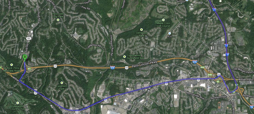
The old Highway 22 route, labeled William Penn Highway. Along this route lie gazillions of eateries, and big box stores.
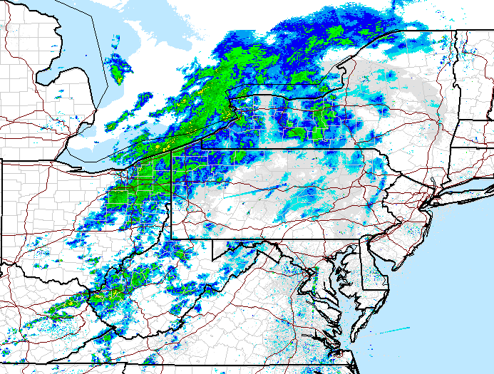
I was not impressed with the weather on the trip home!