709-218-7927 The Landfall Garden House 60 Canon Bayley Road Bonavista, Newfoundland CANADA A0C 1B0 |
|
|---|
.JPG)
The Gardiner Expressway
Auxiliary Material Please see also Queens Quay
Much is written this year (like last year and the year before and ...) about The Eastern End of The Gardiner Expressway. In particular, tearing down or replacing the elevated stretch that runs from Jarvis Street to the ramps onto the Don Valley Parkway.
I decided to go see for myself, by walking along most of the stretch in question.
My walk is outlined above in Purple, from near College Subway Station south down Church Street to Jarvis Street and then to walk east along the waterfront, as much as possible, enjoying the sunshine, fresh air, and the lap-lap-lap of wavelets on the shore.
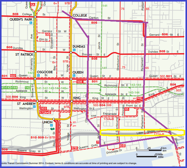
The “offending” stretch of The Gardiner Expressway is outlined in bright yellow near the south-east corner of the TTC map shown above.
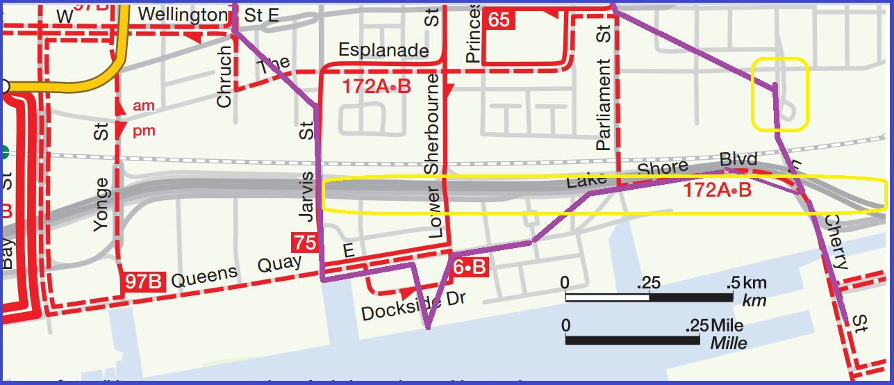
Here is my walk in more detail, same TTC map but zoomed in twice more, with the offending stretch of The Gardiner Expressway in bright yellow; also a tentative streetcar loop circled in bright yellow (see MUCH later in the essay).
I took a light lunch so that I could stop and picnic a few times on the water’s edge.
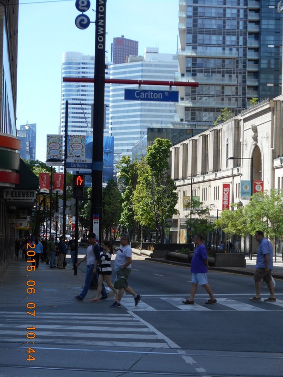
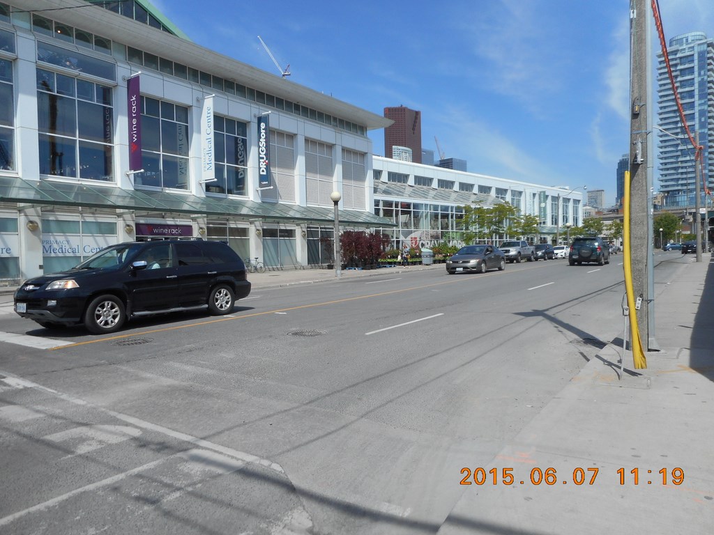
Left home at 10:00; here I am on the north side of Carlton Street waiting to walk south down Yonge Street once the lights change.
My walk down Victoria, Bond, Church etc. is uneventful. The Metropolitan United carillon serenades me as I walk by.
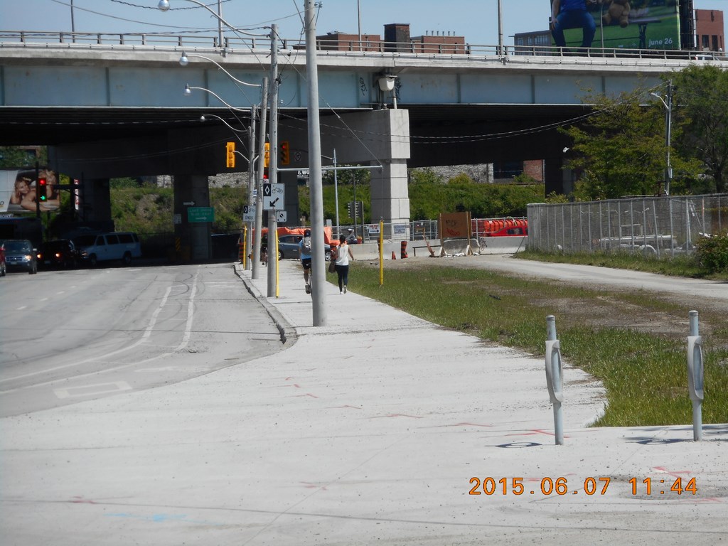
I find myself in a cul-de-sac just west of Jarvis Street.
(The railway is a barrier here!)
Significantly much of the debate (hah!) about tearing down The Gardiner Expressway centres on how The Gardiner Expressway acts as a barrier to the lake. You’d certainly think so, wouldn’t you.
There is no way to get to the east from here.
There is no way to get back to the west from here.
I must retrace my steps northwards back towards Queens Quay which, as you have guessed, does not run along the water’s edge.
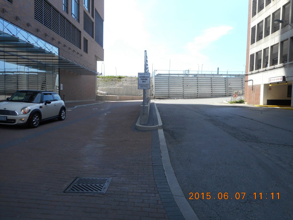
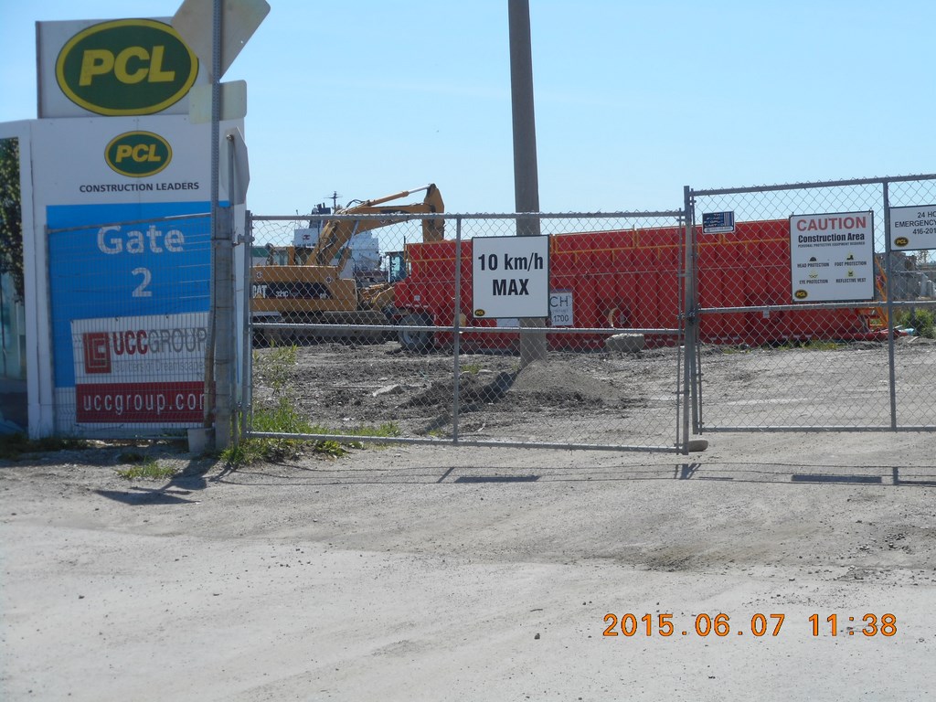
I duck through a parking garage in a private building to save hiking all the way back to Queens Quay and pop out on Lower Jarvis Street, south of the St Lawrence Markets.
A line of cars waits to turn right so that the access ramp to The Gardiner Expressway can be gained.
My objective is to crash through and reach the lake on the other side of The Gardiner Expressway. (Truth is, you can’t get to the lake anywhere here, it’s all Toronto Harbour because Toronto Islands separate us from the lake).
Significantly much of the debate (hah!) about tearing down The Gardiner Expressway centres on how The Gardiner Expressway acts as a barrier to the lake. You’d certainly think so, wouldn’t you.
But think again; that bridge (and the earlier cul-de-sac) are for the many rail lines that stretch east-west across this area. The cars in this picture will pass under the bridge that carries the rail tracks and use the Jarvis Street on-ramp BEFORE they reach The Gardiner Expressway.
The railway is a barrier here!
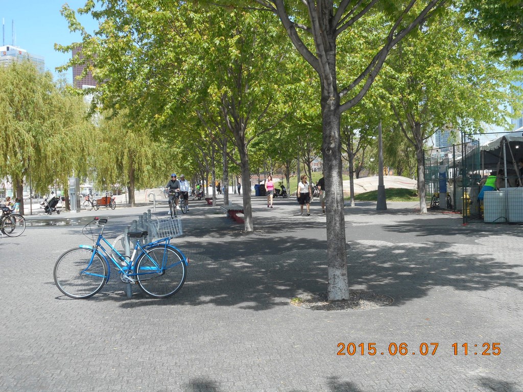
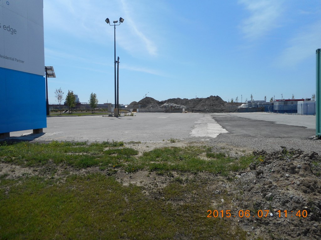
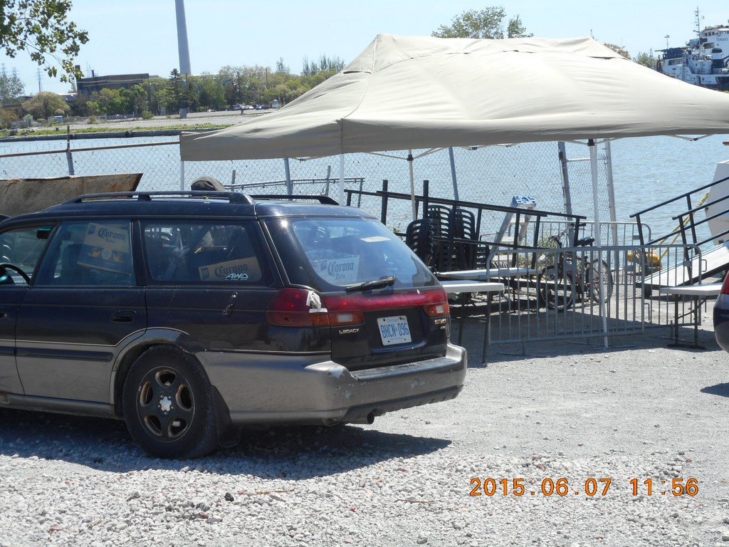
So! I have walked south along Lower Jarvis and am almost at the water’s edge. On the north-west corner of Lower Jarvis and Queens Quay is a mighty Loblaw’s supermarket. That means either “population” or else “population growth”, right?
Here’s the view looking west. On the left side of the photo (the south-west corner of Lower Jarvis and Queens Quay) is a mighty old part of a malting tower/silo or sugar tower/silo or something. It is ugly and I took care not to get the worst part of it in the photograph.
Still on the corner of Lower Jarvis and Queens Quay I look back to the North; that closer bridge is The Gardiner –Expressway while in the distance is the bridge under the twenty-two(?) railway tracks that snake out of Union Station for points East and North.
That’s another construction site on the right-hand side of the photograph.
That’s the construction site. Same old same old; getting ready to auger piles into the muck, bang-bang-bang to shake the muck off the auger, pour concrete, ...
Development is a barrier here!
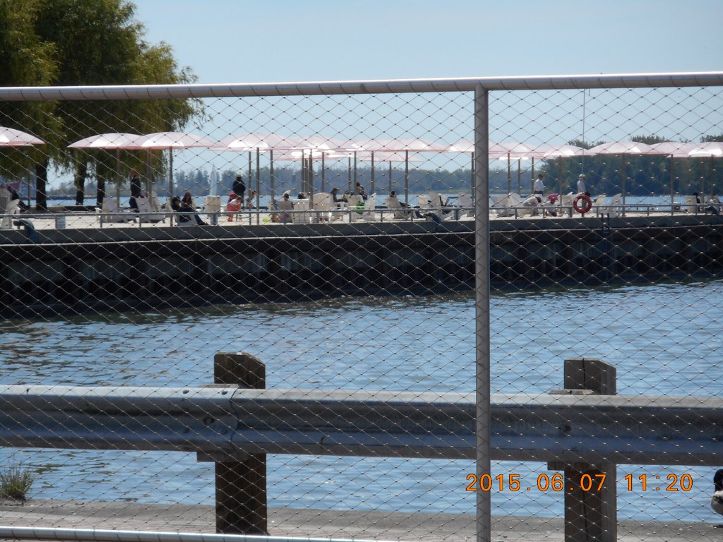
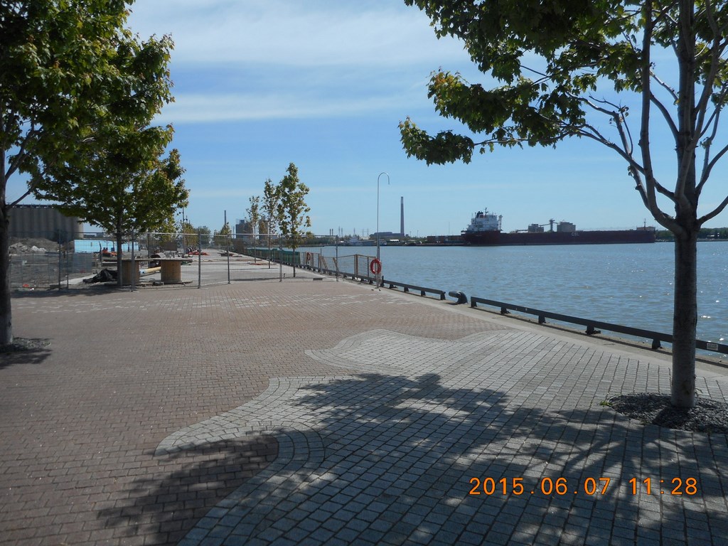
And here I am at the water’s edge.
Almost.
Only a chain-link fence separates me from the sparkling waves. That’s Toronto Islands in the background.
Development is a barrier here!
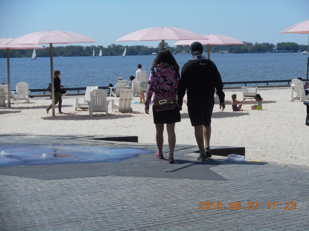
I negotiate my way east around the chain link fence and reach a tiny beach with fixed-in-the-concrete plastic parasols and movable Muskokas. The sand is movable; it was trucked in and lies about four feet above lake level. You don’t dip your toes in the lake just yet.
If you want to know where I am, look for the “V-cleft” in the second map; at Dockside Drive.
Do you get a sinking feeling? A premonition?
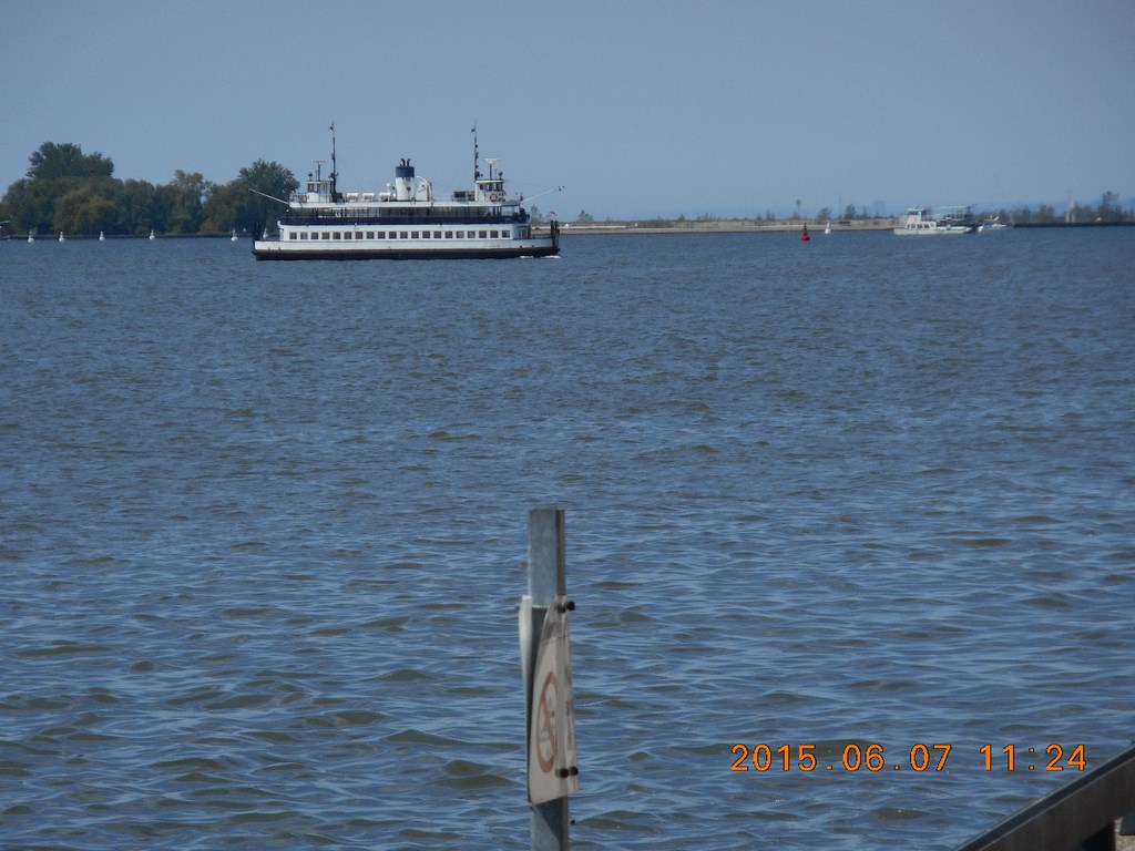
A TTC ferry chugs its way from the islands to the Ferry Docks at the foot of Bay(?) street.
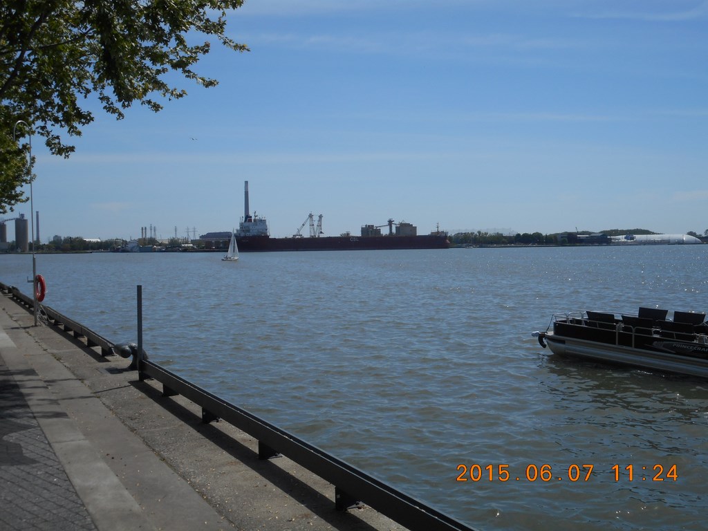
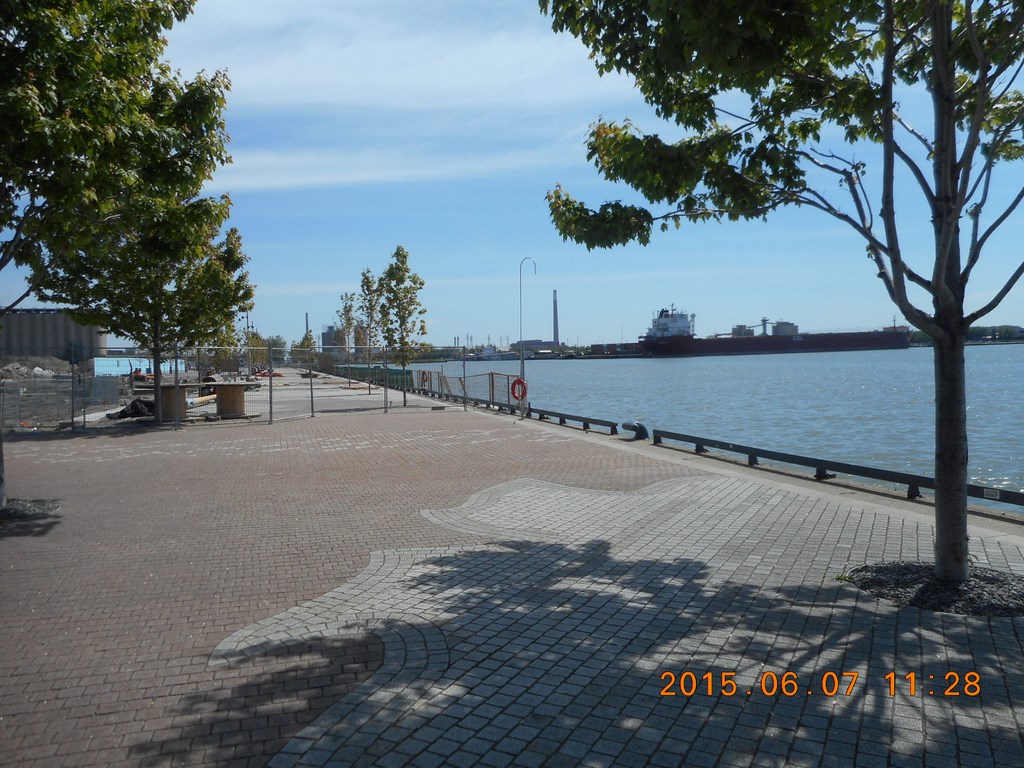
To the east a large ship is tied up; I make it one of my objectives to stand under the side of the ship and take an impressive photo of its bulk.
The area is pretty, with typically tiny Toronto trees.
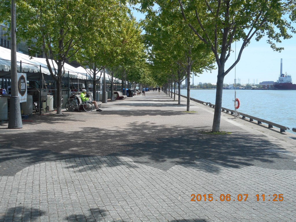
A non-board boardwalk stretches away to the east. This is turning out to be a good idea.
What’s all the fuss about The Gardiner Expressway cutting us off from the waterfront?
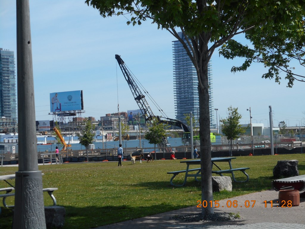
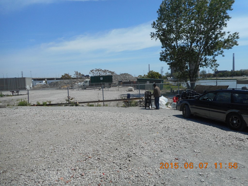
I walk east. Construction is everywhere in Toronto. This crane-on-wheels foretells a tower crane, concrete trucks etc. but that day is a few months away from us yet.
What’s this? The boardwalk doesn’t end, but a new chain-link fence has sprouted from the concrete brickage.
Development is a barrier here!
There’s nothing to be done but head north, away from the water’s lap-lap-lap edge until I can regain it. Lunch, maybe alongside the ship, is a good half an hour away anyway.
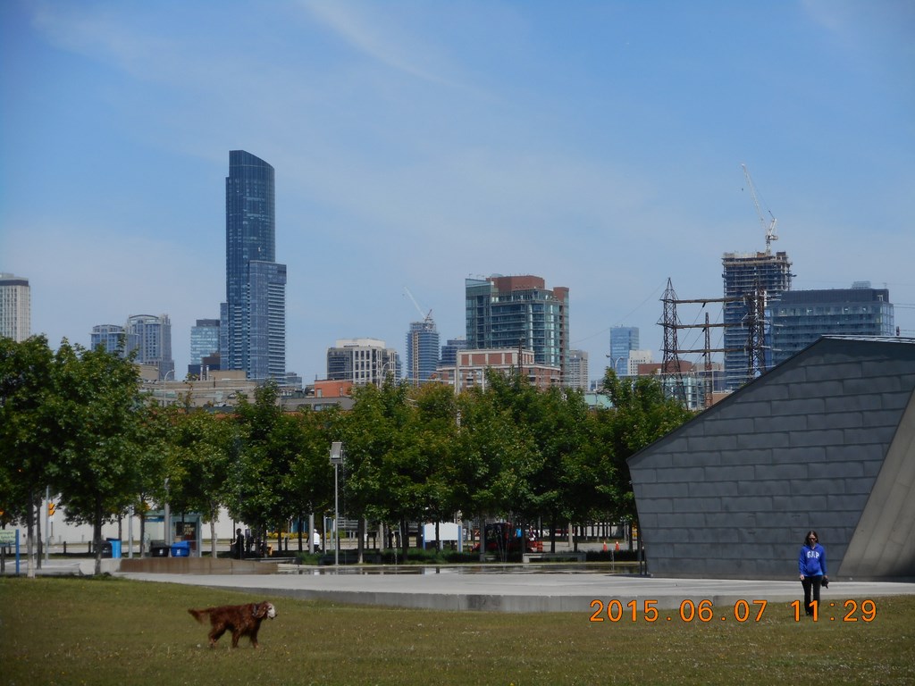
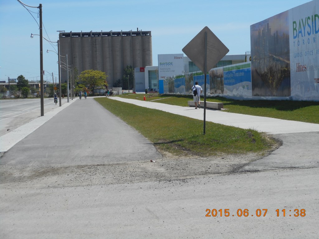
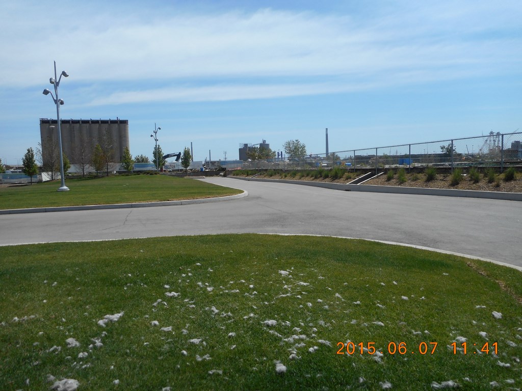
Turning North I see the downtown core; that’s the Aura building; I walk past it each morning; tallest residential building in the something-or-other.
That’s not a cow; it’s a dog.
That’s not a bandstand (to the right); it’s a toilet block.
God knows (well it is Sunday) why a toilet block needs to be two stories high with prismatic sides and roof, unless the contractor is brother-in-law to someone on Toronto City Council, he typed, cynically.
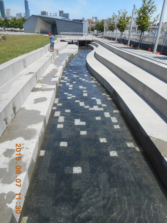
A largely fake little creek runs down the eastern edge of the park into Lake Ontario (or if you prefer honesty Toronto Harbour)
I am now heading north again, looking east. Not, be thankful, past another chain-link fence. Chain link fences are different from this.
Development is a barrier here!

Some of the jets in this wading pool are in action; some are not; it has the shape and depth of a wading pool, but right now lacks the content.
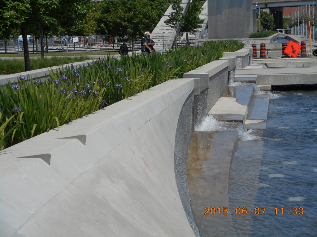
Upstream of the largely fake little creek water cascades out of a largely fake little bed of swamp-like plants.
What can that derelict orange-sign be hinting at? “Be downcast”?
NO!
It’s too lovely a day on the waterfront to be downcast. Lunch in half an hour.
It might even be warm enough for me to take off my socks and shoes, but not necessarily in that order.
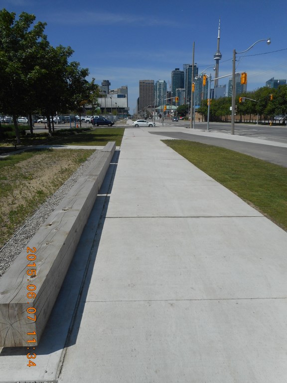
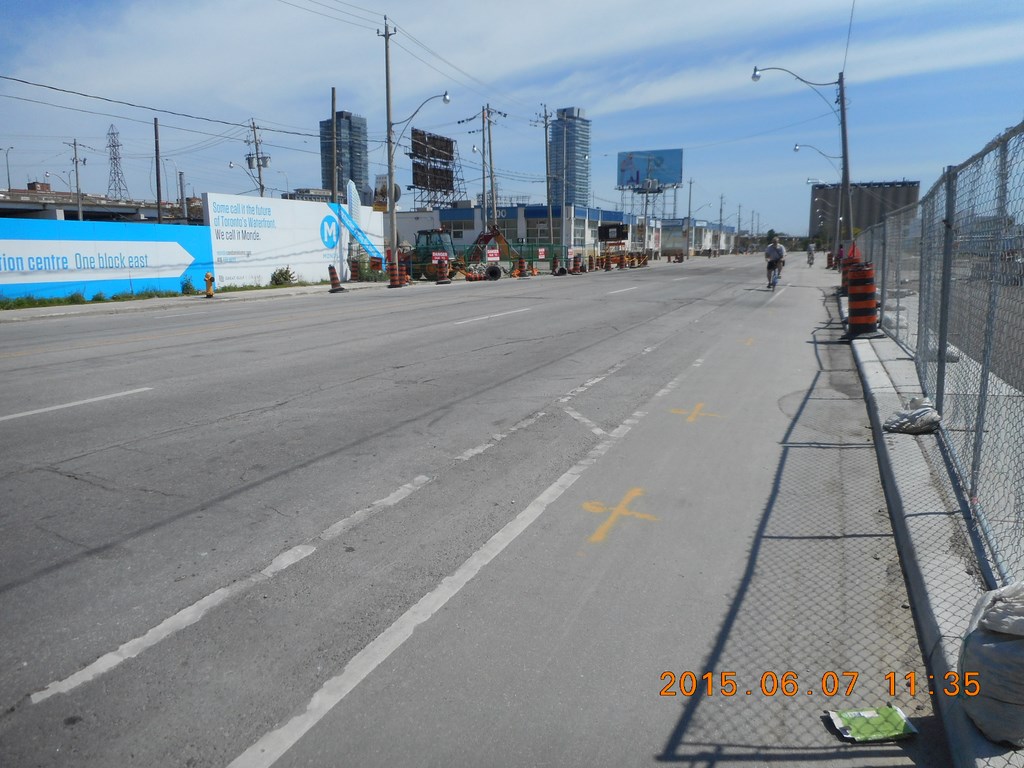
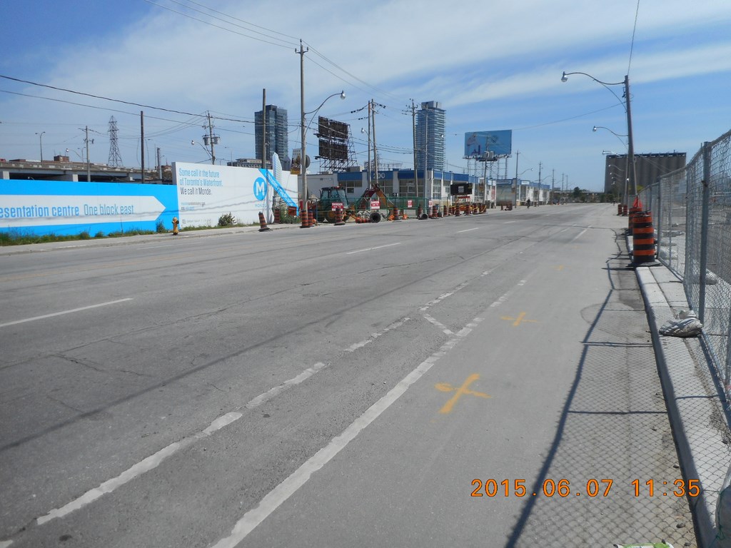
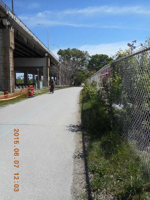
Here I am back on Queens Quay looking west towards Yonge Street.
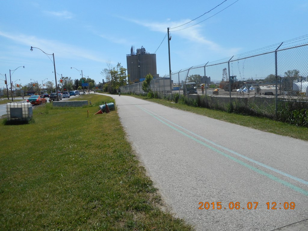
This is a footpath, a sidewalk. Between the footpath and Queens Quay a Cycling Track (black bitumen) opens up.
How twee!
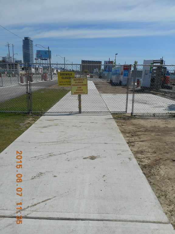
And then, and then ... more construction.
“Sidewalk Closed” the sign says.
Development is a barrier here!
“Use the Other Sidewalk” the Other Sign says.
That’s the Other Sidewalk; the other side of that white little SUV scurrying westwards.
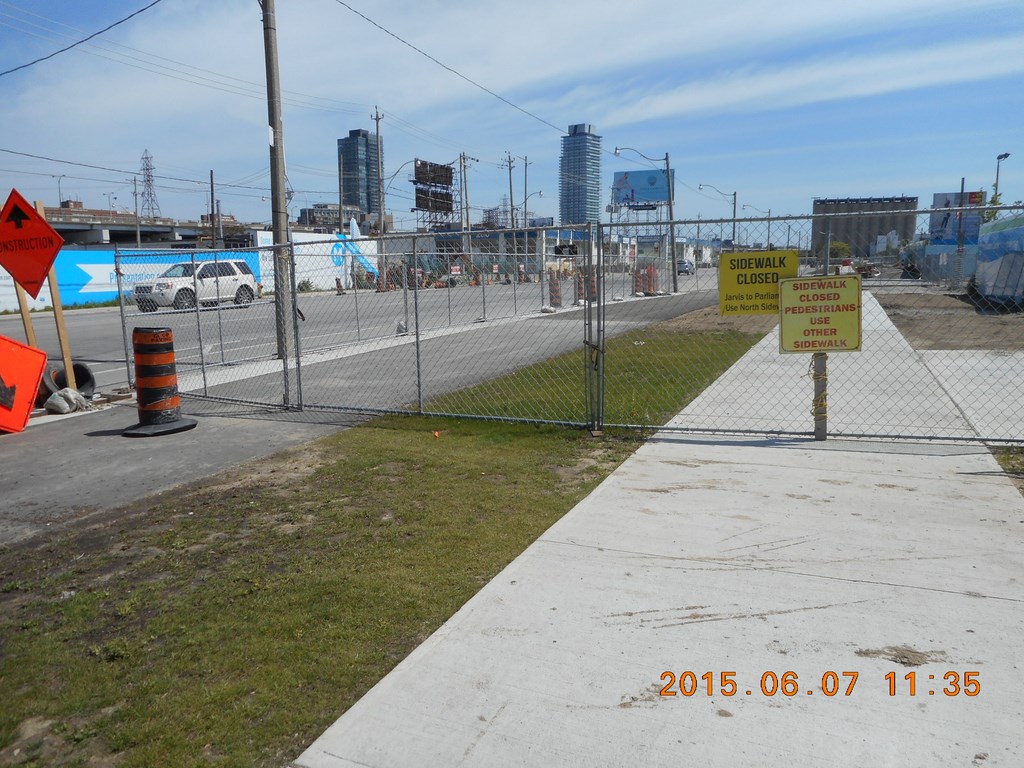
The fencing covers part of the bike lanes on this (south) side of the street.
Development is a barrier here!
Yup. No sidewalk; just bike lane.
Development is a barrier here!
I begin to edge with criminal demeanor along the bike lane. Why, on a lovely day like this, would I elect to walk even further away from the water’s edge.
You haven’t forgotten the lap-lap-lap of the wavelets, have you?
Development is a barrier here!
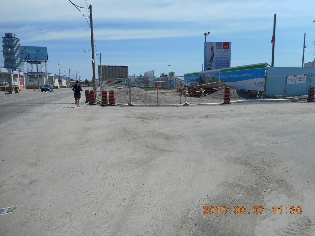
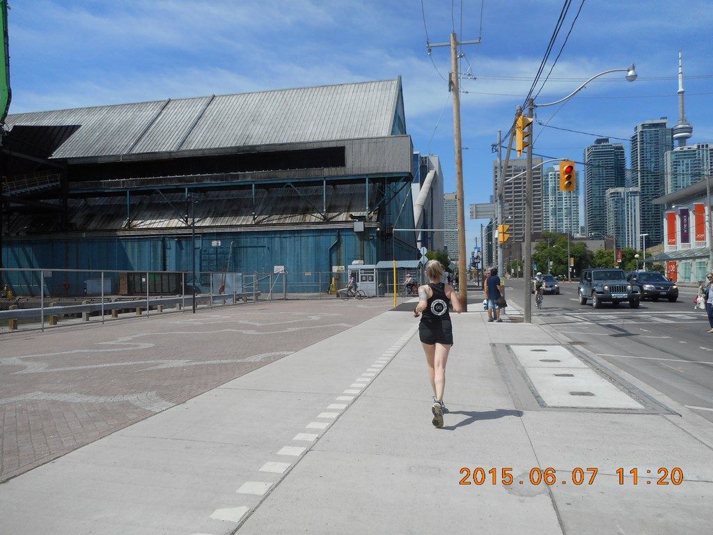
A jogger jogs past me and the construction site and tackles another construction site.
Development is a barrier here!
OK. I have now drawn level with the Other Sidewalk as in “Use the Other Sidewalk” the Other Sign said ...
Development is a barrier here!
No entry here. No access to the sweet lap-lap-lapping of wavelets ...
Development is a barrier here!
But at last the sidewalk is useable. I plan to move off the bituminized bike track and onto the concrete sidewalk.
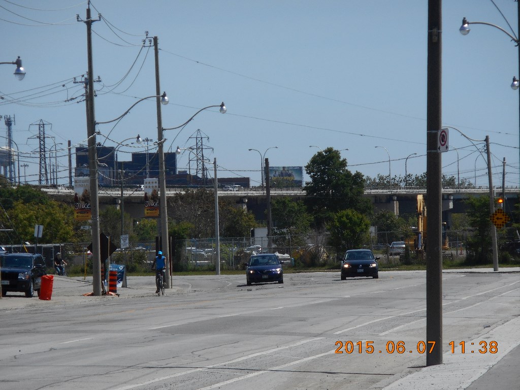
I approach some sort of intersection. Traffic on all fronts is hesitant and confused.
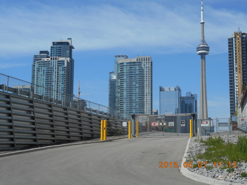
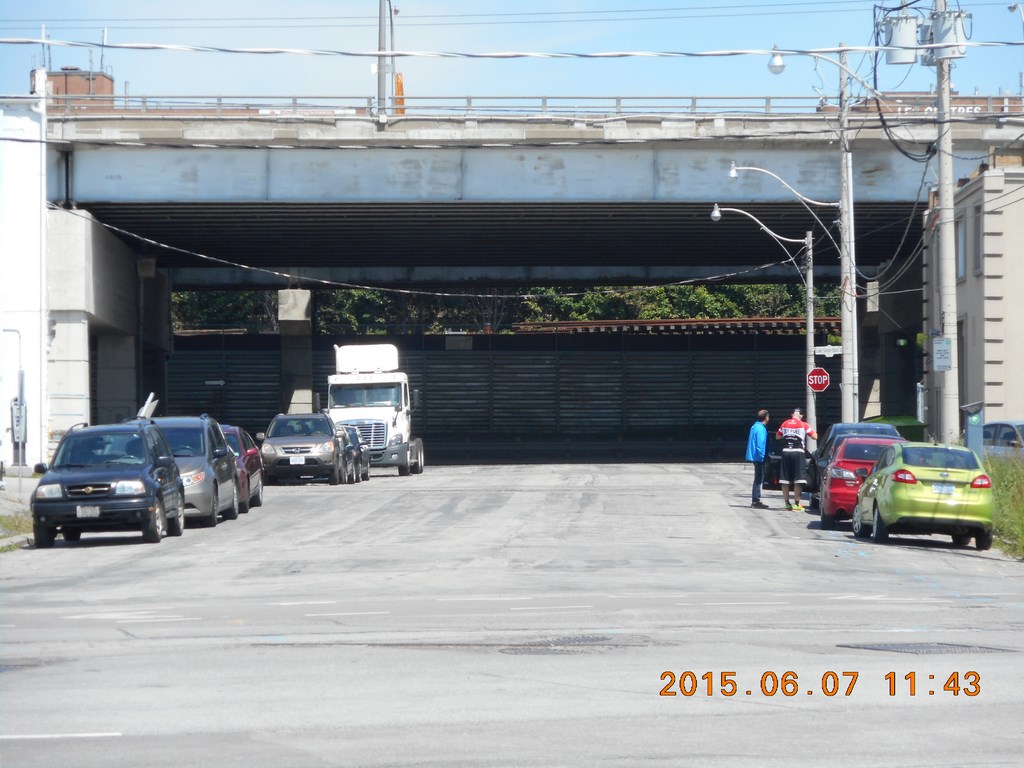
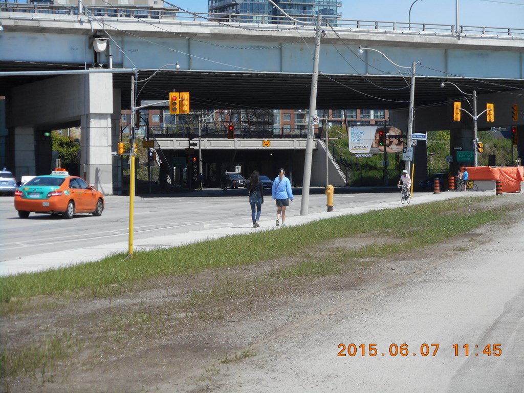
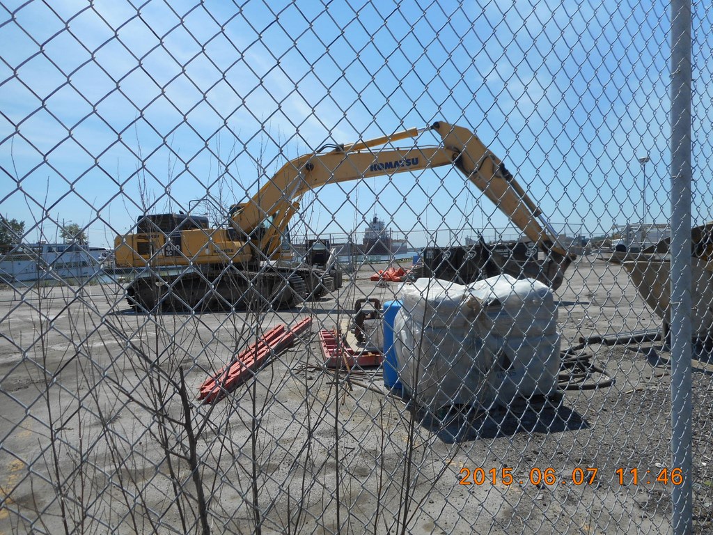
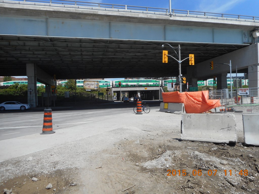
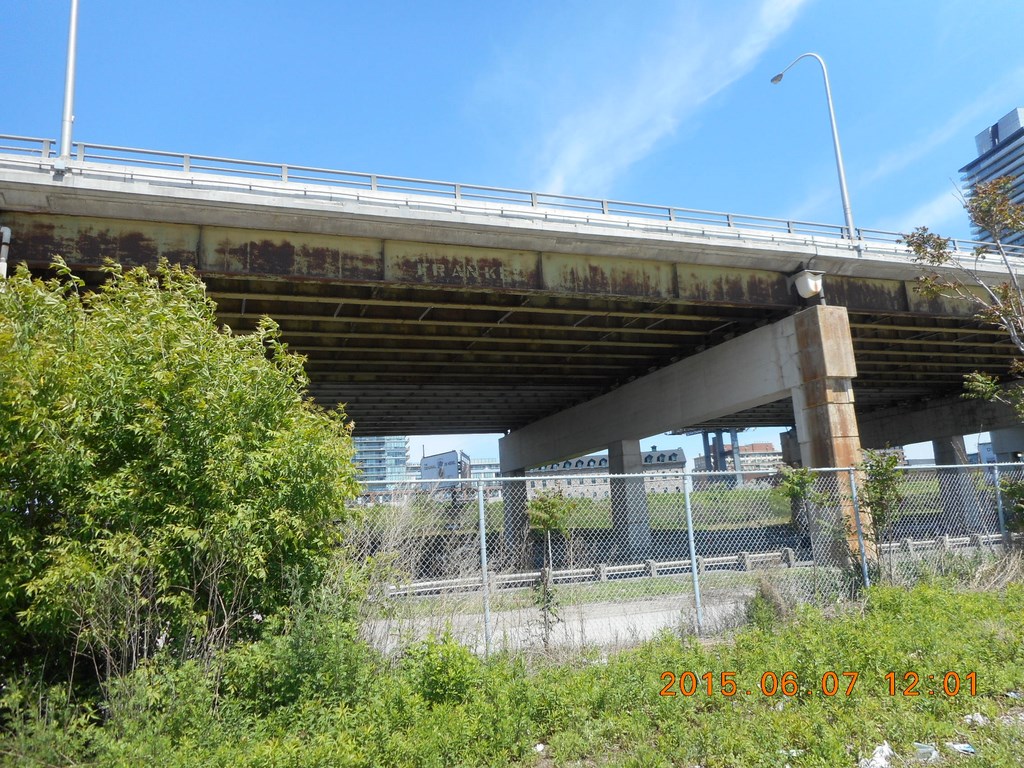
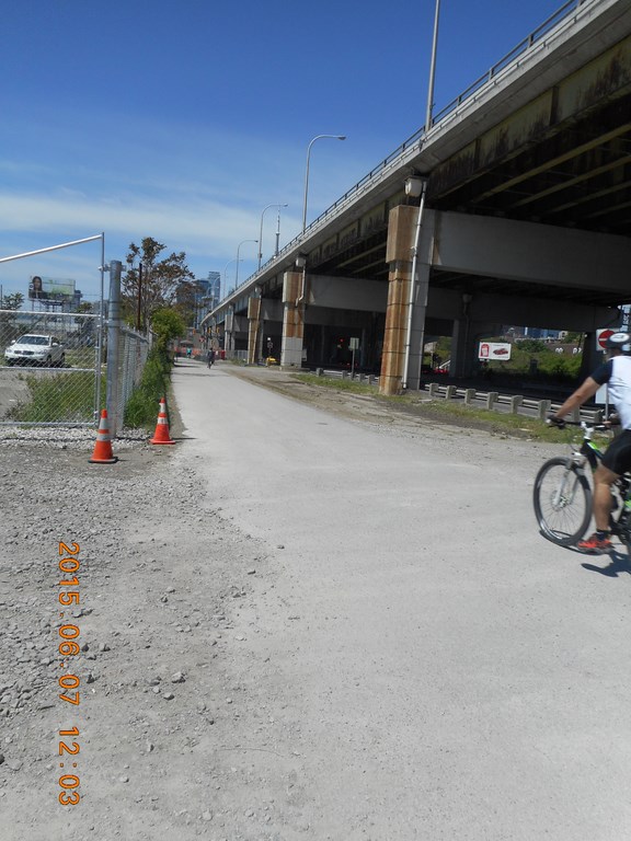
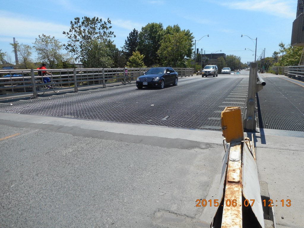
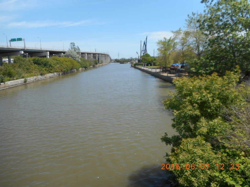
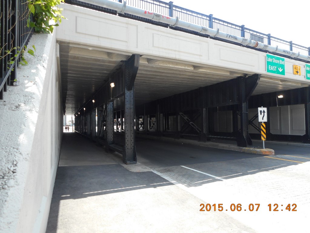
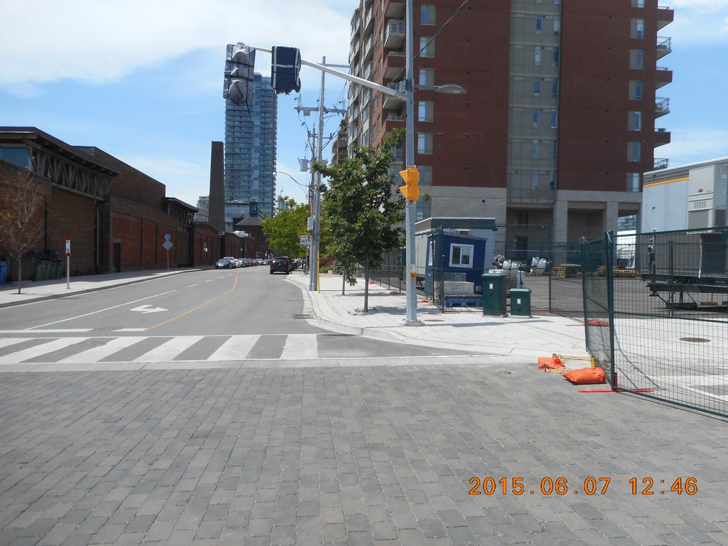
Here is a shot facing, roughly, north. In the foreground is The Gardiner Expressway, a raised highway on piers. Lots of space underneath.
Beyond The Gardiner Expressway, the green foliage of the trees ask part of the railway embankment. On the left side of the image is a tunnel under the railway. I believe that this is the first break in the railway embankment since Jarvis Street; I could be wrong.
The railway is a barrier here!
The railway blocks access to the waterfront; The Gardiner Expressway does not block access. There is plenty of open space beneath those pillars.
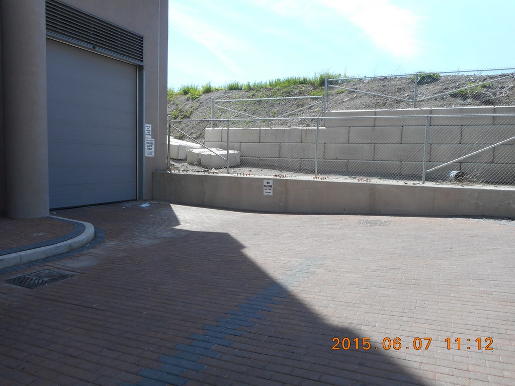
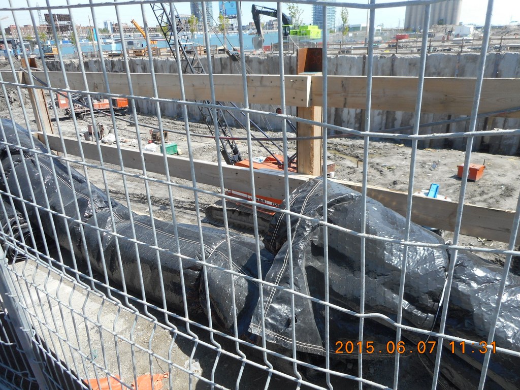
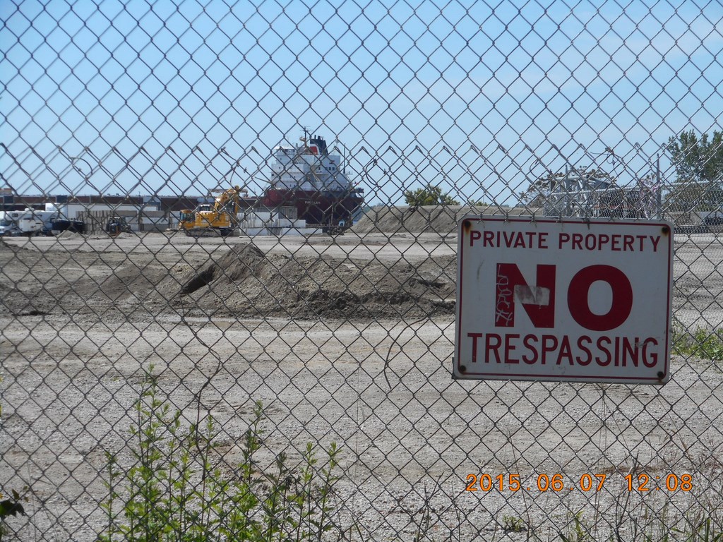
Meanwhile, back at the ranch, we seem to be nowhere near the water. It is, surely, across the far side of this private site, beyond the piles of earthen debris.
Development is a barrier here!
The Gardiner Expressway isn’t blocking my access to the waterfront.
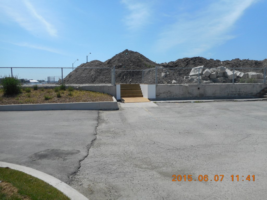
Nonetheless I stroll across the paved lot and find the steps that lead up to what would be a raised boardwalk along the waterfront, were it not blocked from my access by a chain-link fence.
Development is a barrier here!
The fence stretches off to the East. I decide to walk east through the car park.
Development is a barrier here!
Then I must turn north, up the eastern side of the car park to make my way back to Queens Quay.
This is a construction site for yet-another-condominium.
Development is a barrier here!
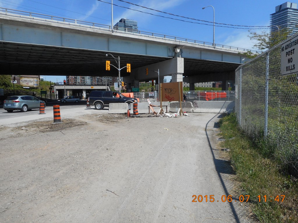
What have we here?
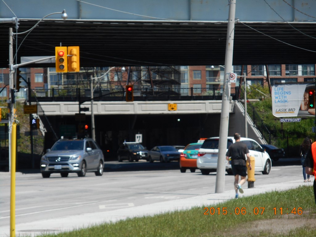
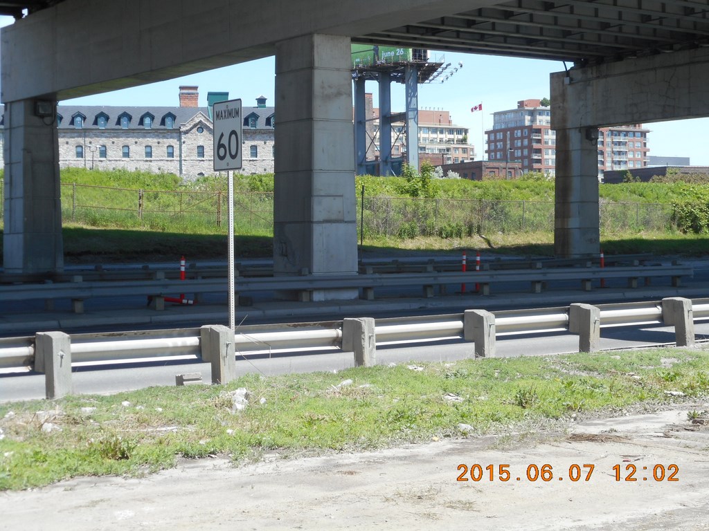
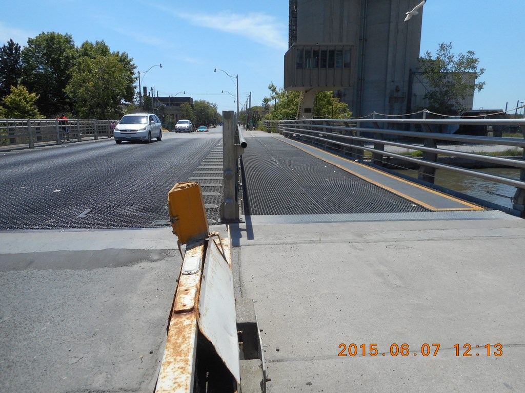
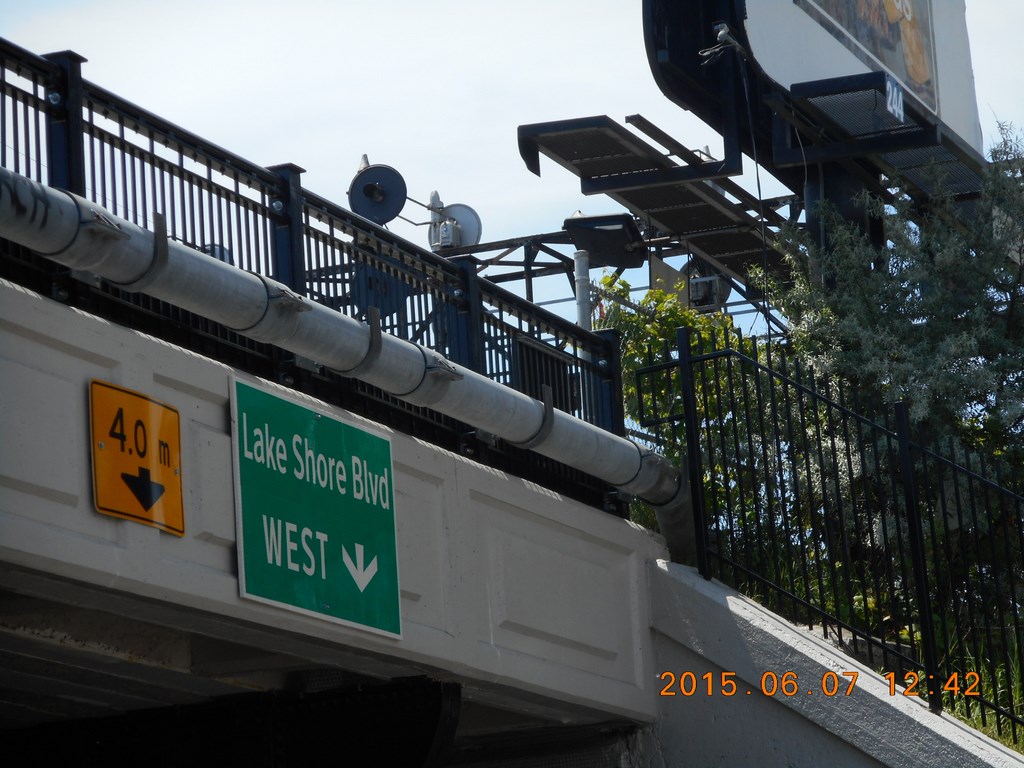
In the foreground is The Gardiner Expressway, elevated of course at this point. When you pass under The Gardiner Expressway you reach lakeshore Boulevard which is, of course, not near the lake shore at all.
After that (and hidden by the bridge that carries The Gardiner Expressway) is the railway embankment – a sudden stop to any access to the rest of the city.
Or for that matter, a sudden stop to any access from the rest of the city to the shores of the lake.
The railway is a barrier here!
The driver of this vehicle drove up to me and then stopped, uncertain. I was standing still taking photos, so he wasn’t waiting for me to cross; he just looked confused.
He managed to turn around, and then stopped again blocking my path.
Perhaps he was trying to stop me taking photographs?
I don’t care; photographs are essentially free if you cost them out on an electron-by-electron basis.
So I thought I’d just go on shooting pictures until he buggered off.
My plan is to keep walking east “with my right hand on the fence” until I reach the water again. Lap-lap-lap will go the wavelets with joy when they see me approach.
There is more traffic confusion up ahead; vehicles mill about, stop, edge forward, stop, hesitate, ...
He still hadn’t buggered off. So I did.
It’s not as if he has to wait for a break in traffic.
By sticking close to the fence I am occupying part of the bike track. It’s OK, I used to own a bike; I’m just not-biking where I might have biked did I still own a bike.
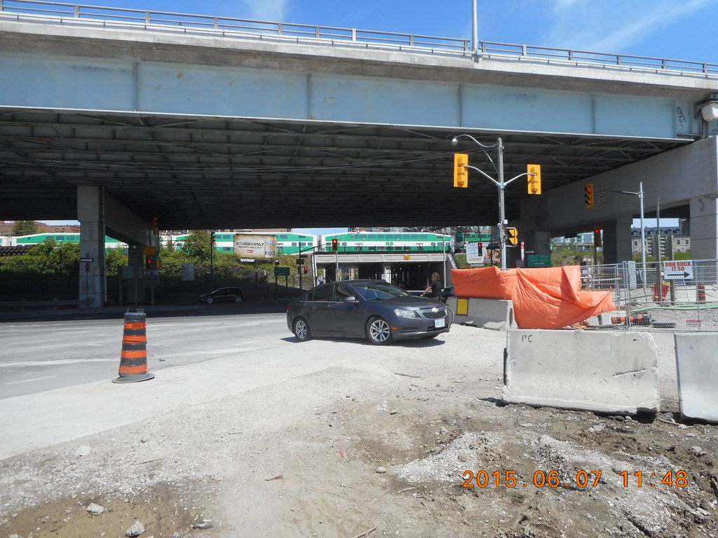
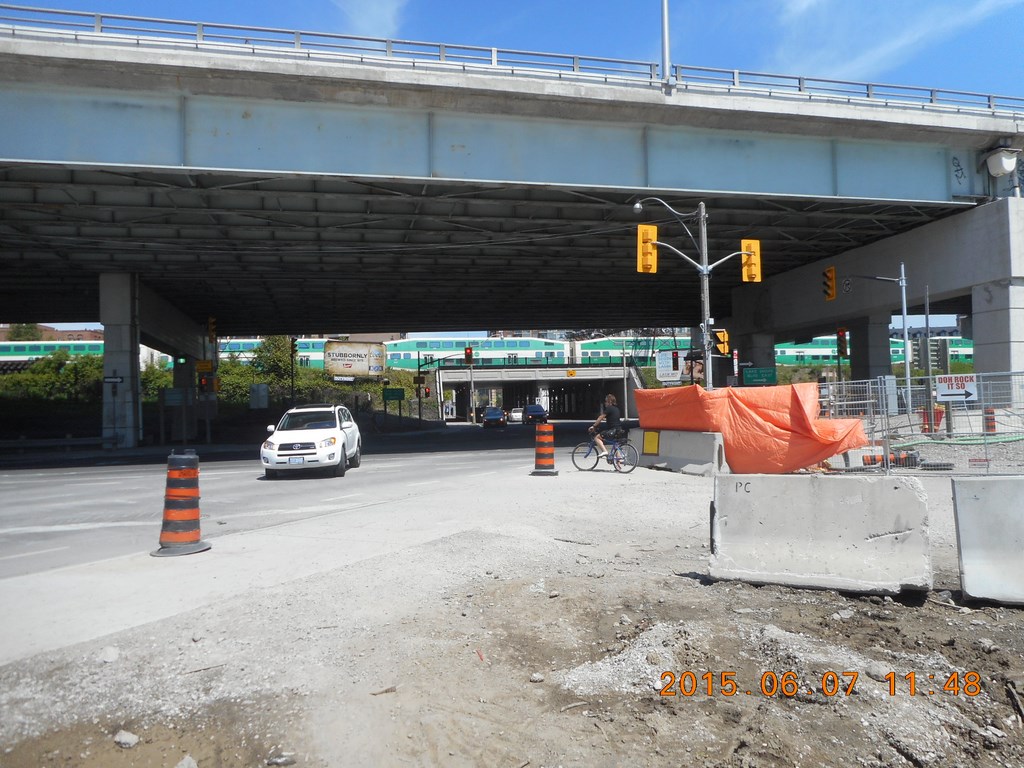
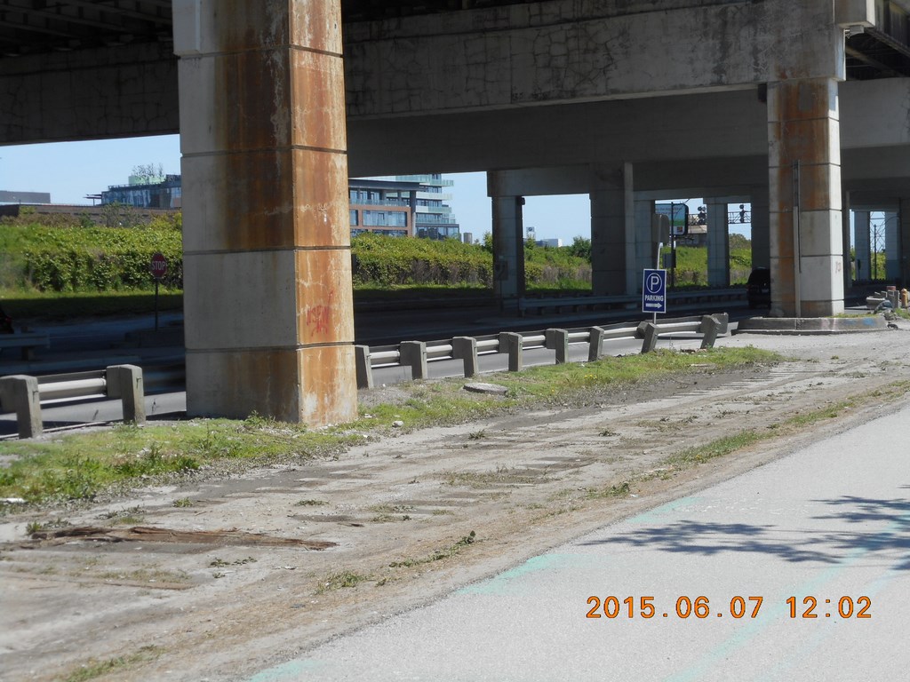
In the foreground the bridge for The Gardiner Expressway; in the background the bridge for the railway embankment.
The railway is a barrier here!
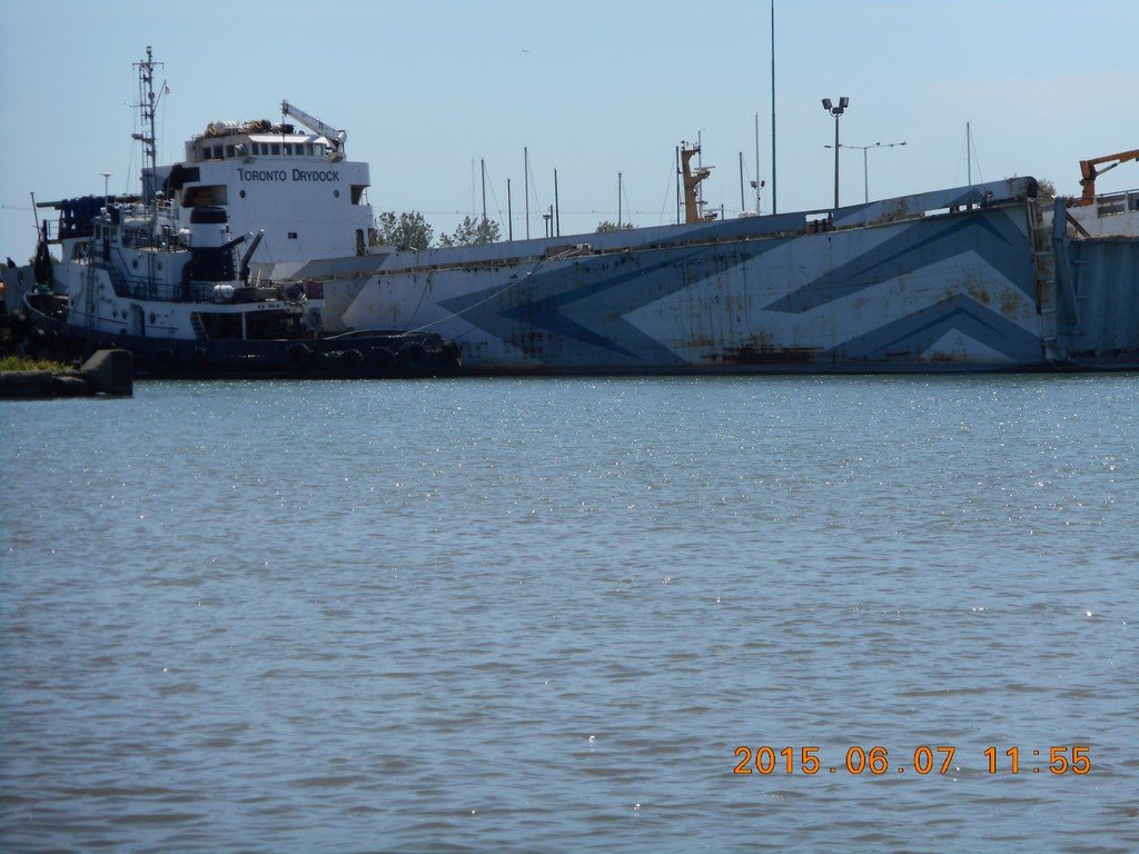
There’s the ship I will visit; my objective for lunchtime. Neatly framed by the arm of the hoe.
Development is a barrier here!
The reason for the confusion begins to appear. More construction site barriers.
If, when, The Gardiner Expressway is torn down we will have an unobstructed view of the railway embankment.
The railway is a barrier here!
Another car humps its way uneasily across a kerb that is almost two inches high.
A GO Transit train rumbles across a bridge.
Another car drive contemplates the hump.
A cyclist decides to see where all the vehicles are going.
I decide to see where the cyclist is going.
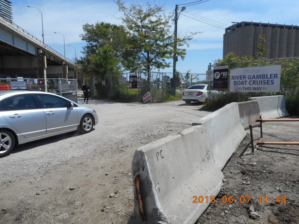
Boat Cruises!
If you want to see the harbour, you get on a boat.
How stupid of me. I thought one could walk to the water!
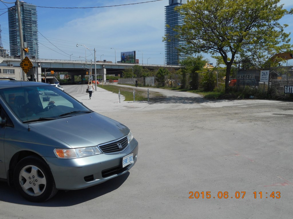
I entre the parking lot without a car and hike down the western edge, figuring that this will be the fastest way to get back to the water’s edge.
Boats float in water, don’t they?
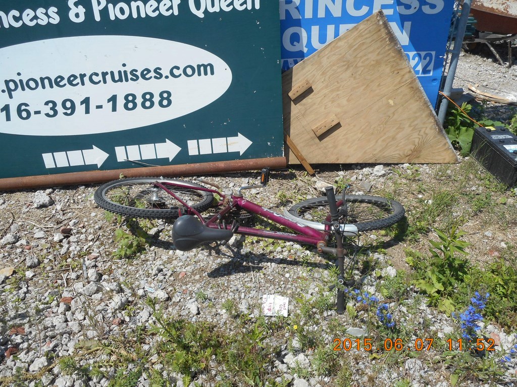
Maybe I’ll take up bicycling again. There’s a bike right here waiting for me.
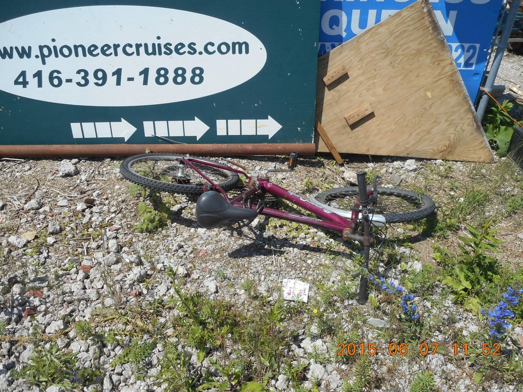
The chain is a little rusty, but then so am I. Probably fix it up, clean, dismantle, lubricate and re-assemble over a weekend. Fifty bucks tops.
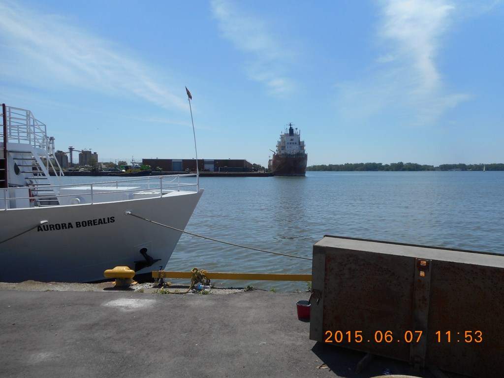
Here I am at the water once again some thirty-five minutes after being forced away from it.
Here’s my lunchtime objective, still as far away as ever.
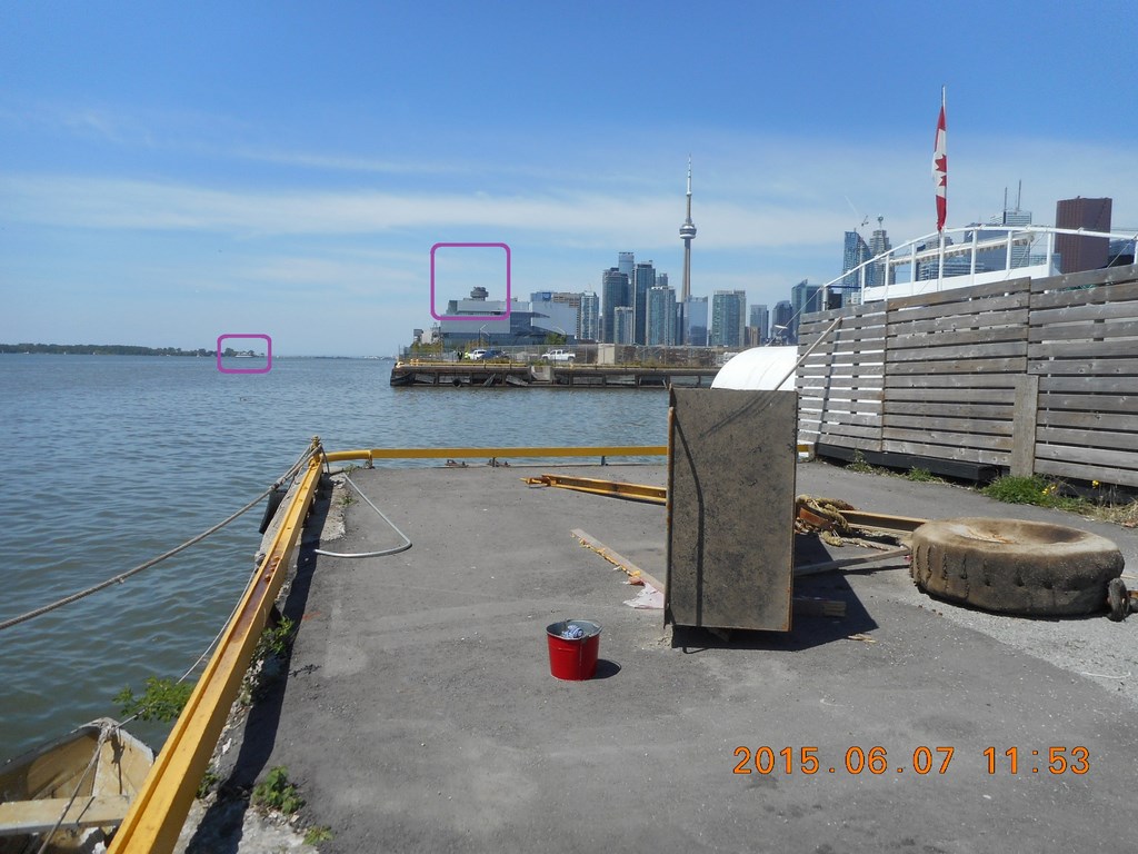
Looking back towards the west, I have circled the Westin Harbour Castle (I think that’s its name this year) and a TTC ferry.
The ferry is the circled on the lake.
Looks like a dilapidated camouflaged Second World War ship lying up there.
I am still in a very roughly-surfaced parking lot. This is no lunch spot; the chairs are going to be loaded onto a cruise ship/boat.
To the east another chain-link fence. What did you expect?
Development is a barrier here!
Sigh. Back to the roadway ...
I walk northwards along the eastern edge of the car park.
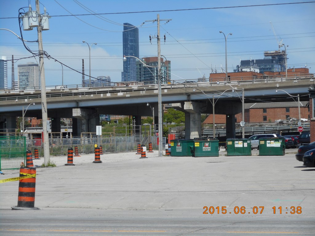
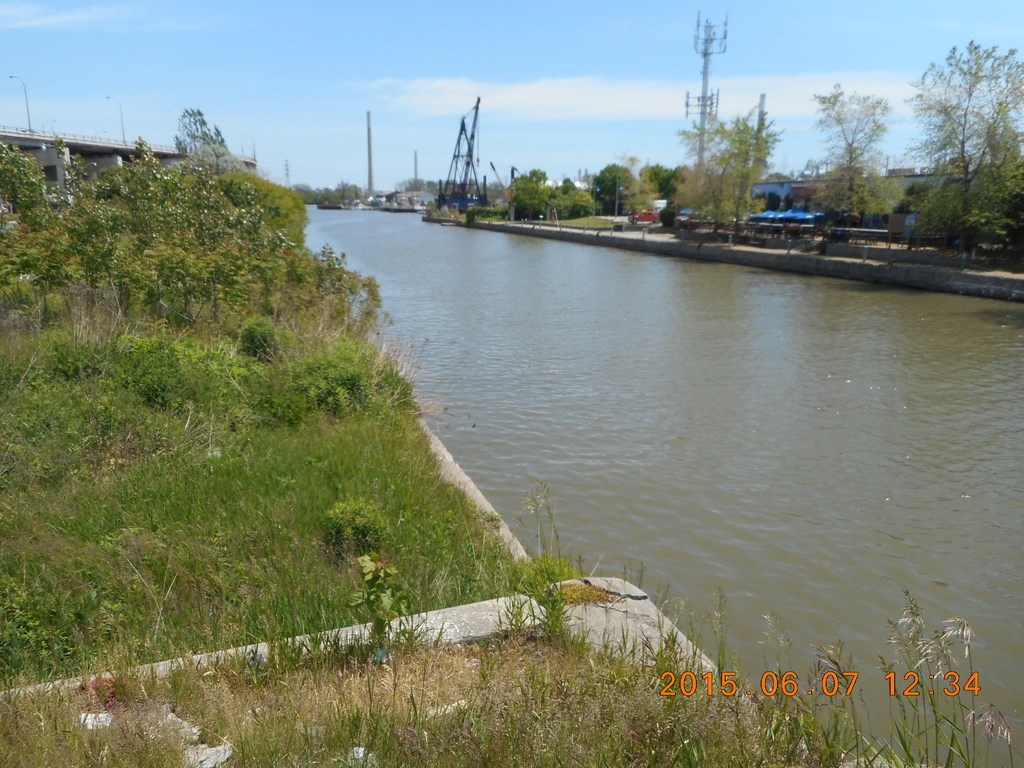
Look at all the space beneath The Gardiner Expressway
Look at the lack of space beneath the railway lines.
The railway is a barrier here!
Look at all the space beneath The Gardiner Expressway
Look at the lack of space beneath the railway lines.
The railway is a barrier here!
Now there are arguments that The Gardiner Expressway is Ugly.
It could use a coat or two of paint; be a bit like the Forth bridge over the Firth of Forth; firth they gave it a firth coat, then a second ...
Of course, painting over the steel and painting over the concrete would hide flaws in both materials, flaws brought about by the use of road-salt so maybe we should stop killing off healthy trees by our use of road-salt on the roads and ...
On the other hand, a team steadily working its way along the pillars and beams could double-up as an inspection team, on the job almost year-round, with early detection and early prevention being better than printing headlines when a chunk falls off.
On the other other hand, if you go back and review some of the earlier photos in this rant you’ll notice that The Gardiner Expressway has been painted up. In sections.
Look at all the space beneath The Gardiner Expressway
Look at the lack of space beneath the railway lines.
The railway is a barrier here!
Look at all the space beneath The Gardiner Expressway
Look at the lack of space beneath the railway lines.
The railway is a barrier here!
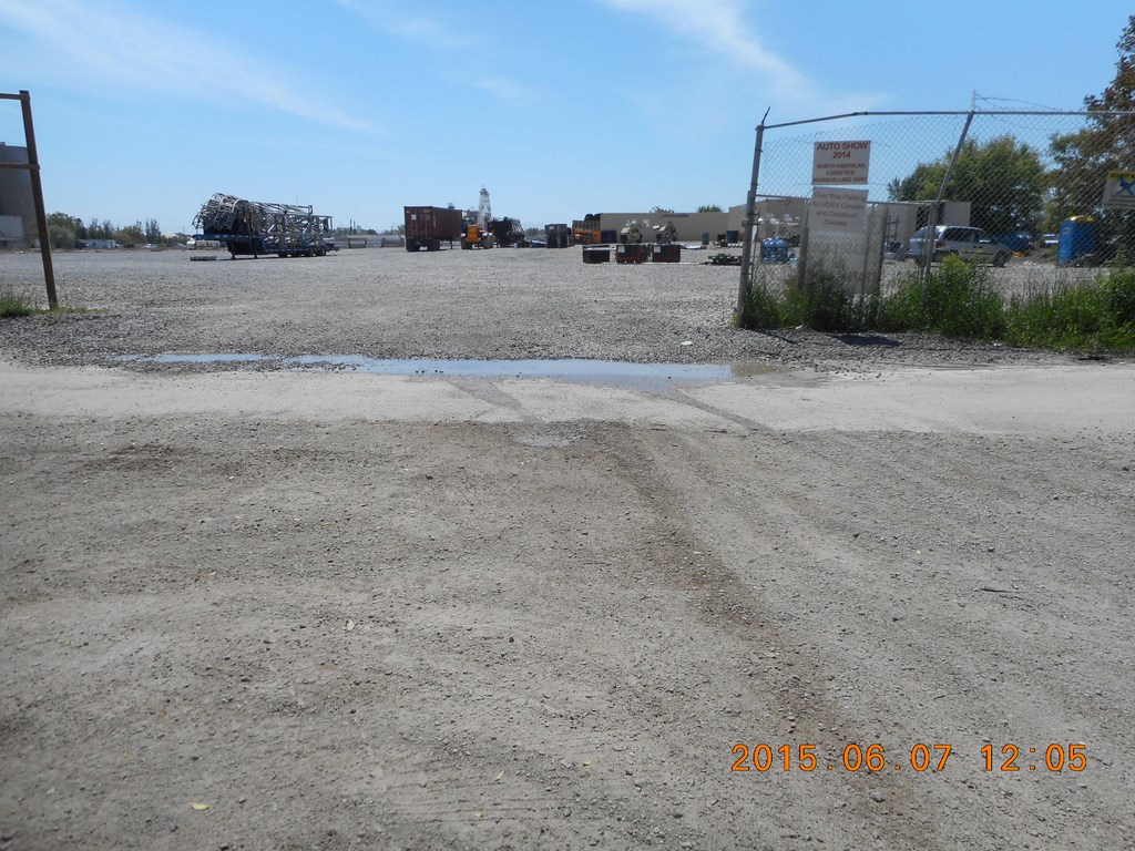
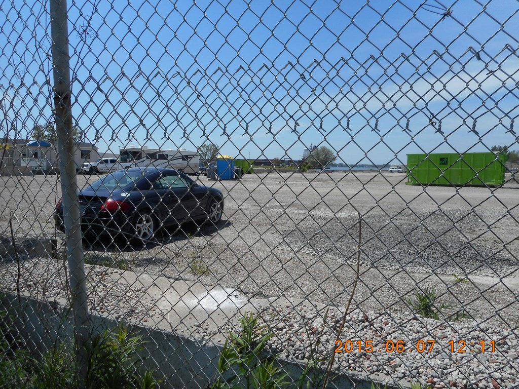
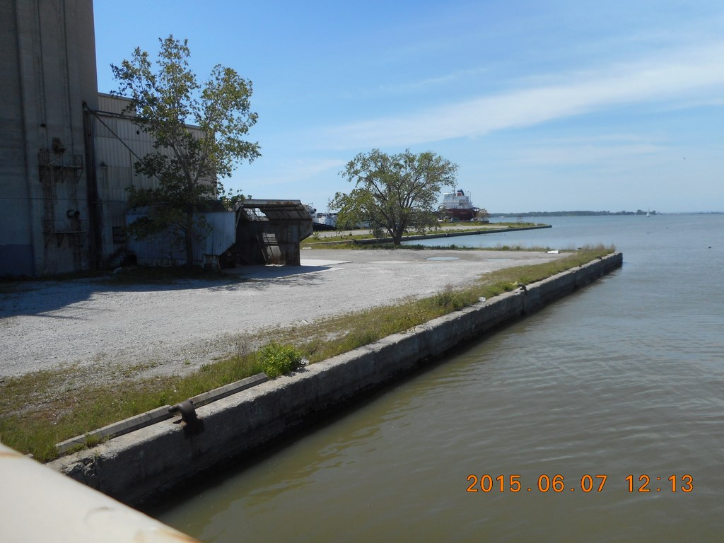
Another private lot.
There is water over there, but (a) it isn’t a pleasant shoreline and (b) it isn’t accessible to the public.
Development is a barrier here!
Move along please; nothing to see here ...
Looking back along the path I’ve walked, chain-link fence as far as the camera eye can see.
Development is a barrier here!
Looking back along the path I’ve walked, chain-link fence as far as the camera eye can see.
The bike path can be seen continuing past a little wiggle in the path.
Development is a barrier here!
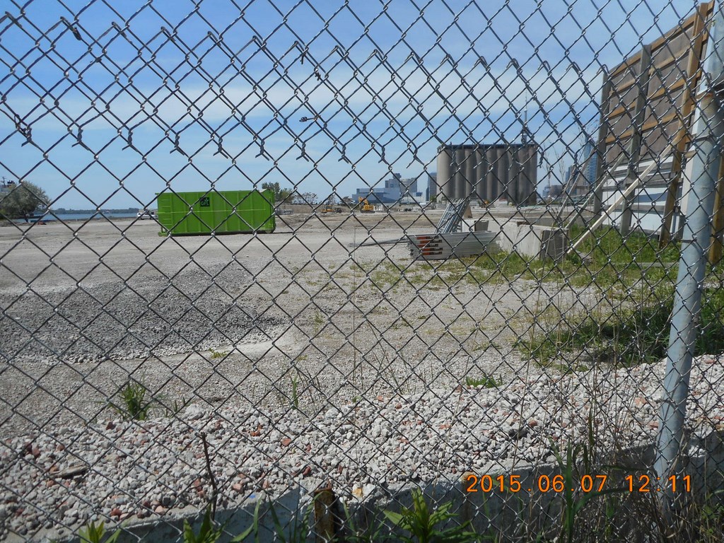
Another private lot.
There is water over there, but (a) it isn’t a pleasant shoreline and (b) it isn’t accessible to the public.
Development is a barrier here!
Move along please; nothing to see here ...
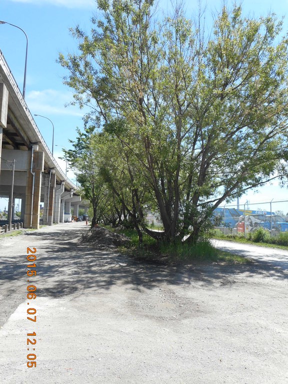
There are odd spots along the way that suggest something could be done here. These trees provide welcome shade, but who in their right mind would dump soil and lay sod and drop picnic tables here?
The trees are probably survivors of a bigger grove of years gone by.
Another private lot.
There is water over there, but (a) it isn’t a pleasant shoreline and (b) it isn’t accessible to the public.
Move along please; nothing to see here ...
Development is a barrier here! Oh yes there is! The other side of my lunchtime objective.
Development is a barrier here!
I continue to walk with my right hand on the chain link fence. I am not getting close to the water, am I?
What is keeping me away from the seductive lap-lap-lap of wavelets?
Development is a barrier here!
Another private lot.
There is water over there, but (a) it isn’t a pleasant shoreline and (b) it isn’t accessible to the public.
Move along please; nothing to see here ...
Development is a barrier here!
Another private lot.
There is water over there, but (a) it isn’t a pleasant shoreline and (b) it isn’t accessible to the public.
Move along please; nothing to see here ...
Development is a barrier here!
SUDDENLY!
The Keating Channel.
And a movable bridge.
Since I’m carrying my lunch in my shoulder bag, perhaps this is a sign that it is time to have a moveable feast!
Well, after all, a bridge means water, right?
A second view of the portion of the bridge for engine-powered traffic and a separate portion for human-powered traffic.
As I walk across the bridge I spot my lunch spot.
At last! I’ll be able to sit on the edge of the water and eat mu lunch.
I’ve been walking along Queens Quay for an hour now.
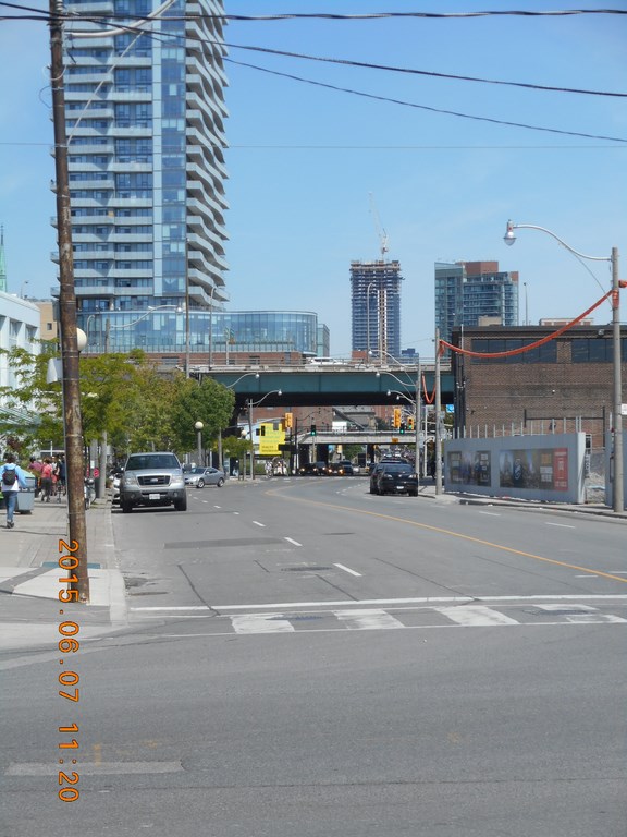
A look back at the financial district. The maroon building is Scotia Plaza; immediately to its left, sprouting two radio towers is First Canadian Place.
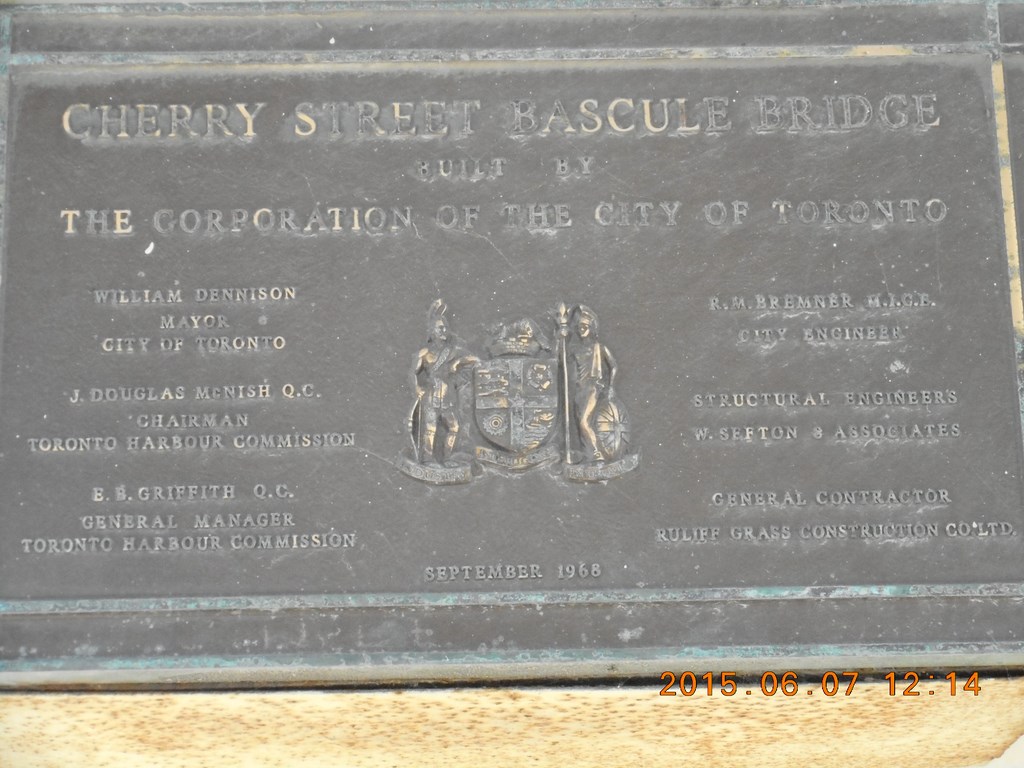
It seems that I have been on the Cherry Street Bascule Bridge. You do now what a bascule bridge is, don’t you? Think buttock-bumping.
Across the street from the bridge is a little ark with benches. My supposed waterside lunch spot is fenced off; that’s one reason why it is so un-crowded.
Development is a barrier here!
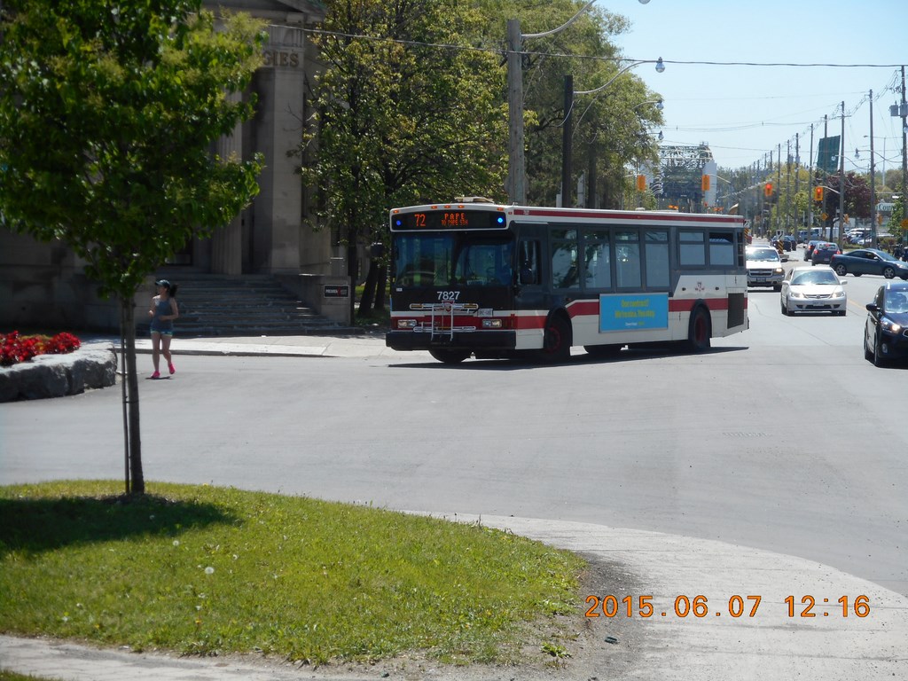
Looking south across Villers Street and down Cherry Street as a #72 Pape bus heads back to base. The 72 runs all the way to Cherry beach.
Here is the little park with the benches.
And here is part of lunch. No wavelets. No lap-lap-lap.
I am sitting in a small cherry grove; Cherry Street. Get it?
Of course the blossoms, if any, are long gone. I think they last only six days and thirteen hours in Toronto.
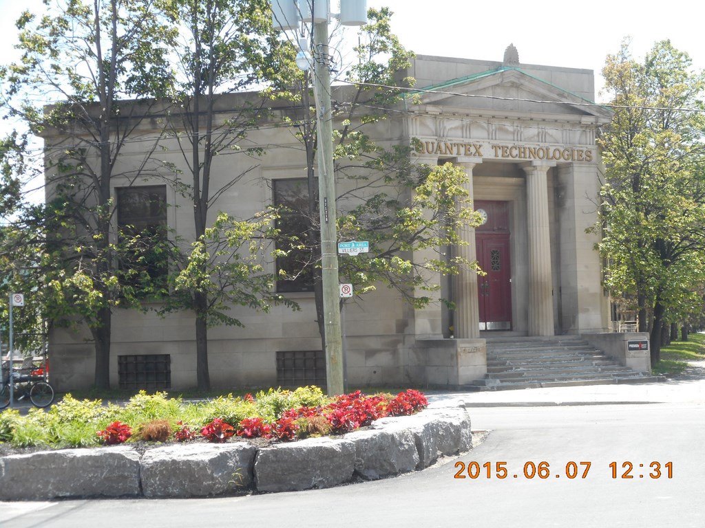
The building on the south-west corner looks like a bank building.
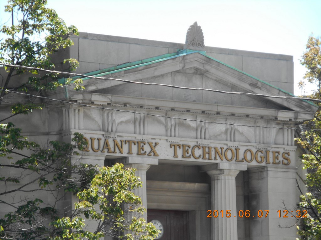
Home now to Quantex Technologies.
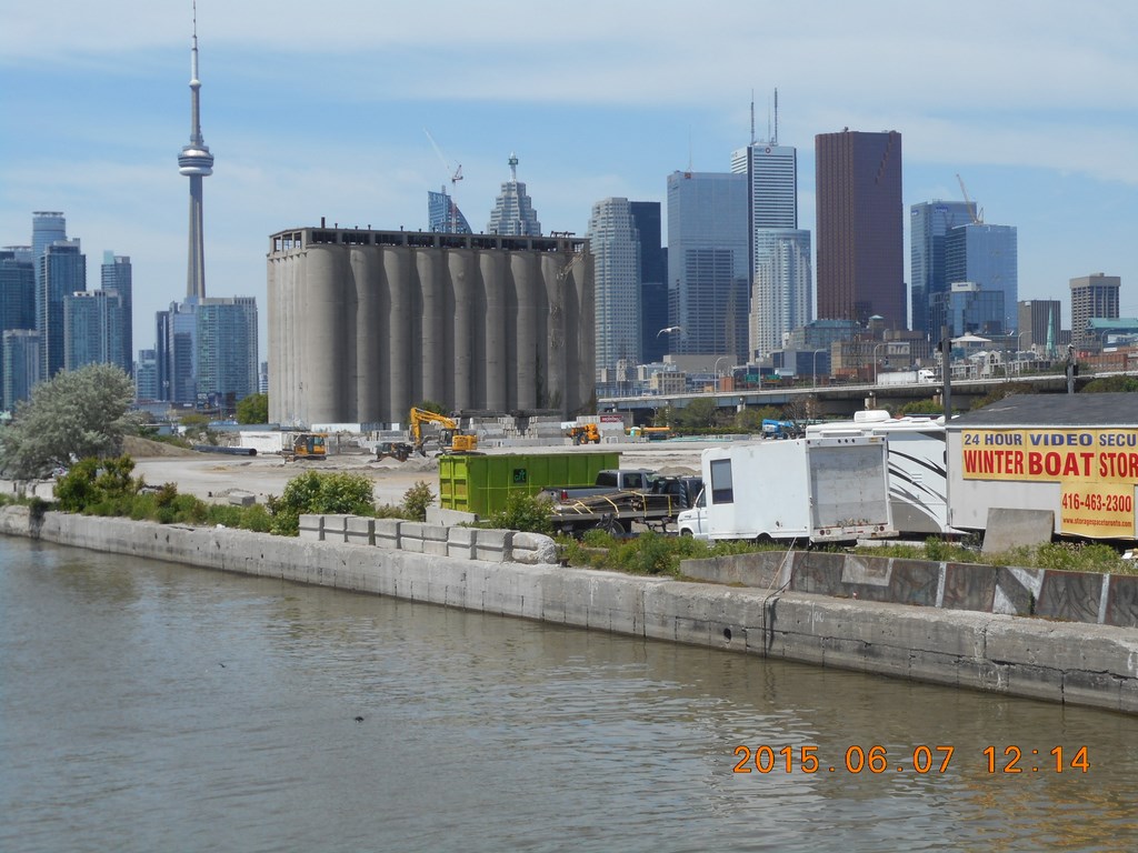
Looking east along the Keating Channel. The Keating Channel doesn’t show up on modern maps of the waterfront.
Again there is potential for pleasant spots here.
On the far side from me, the southern bank, it’s a tidy little parklet, but I suspect it is on commercial property.
I head north. I am close to The Distillery District.
The Distillery District is on the other side of the railway embankment.
The railway is a barrier here!
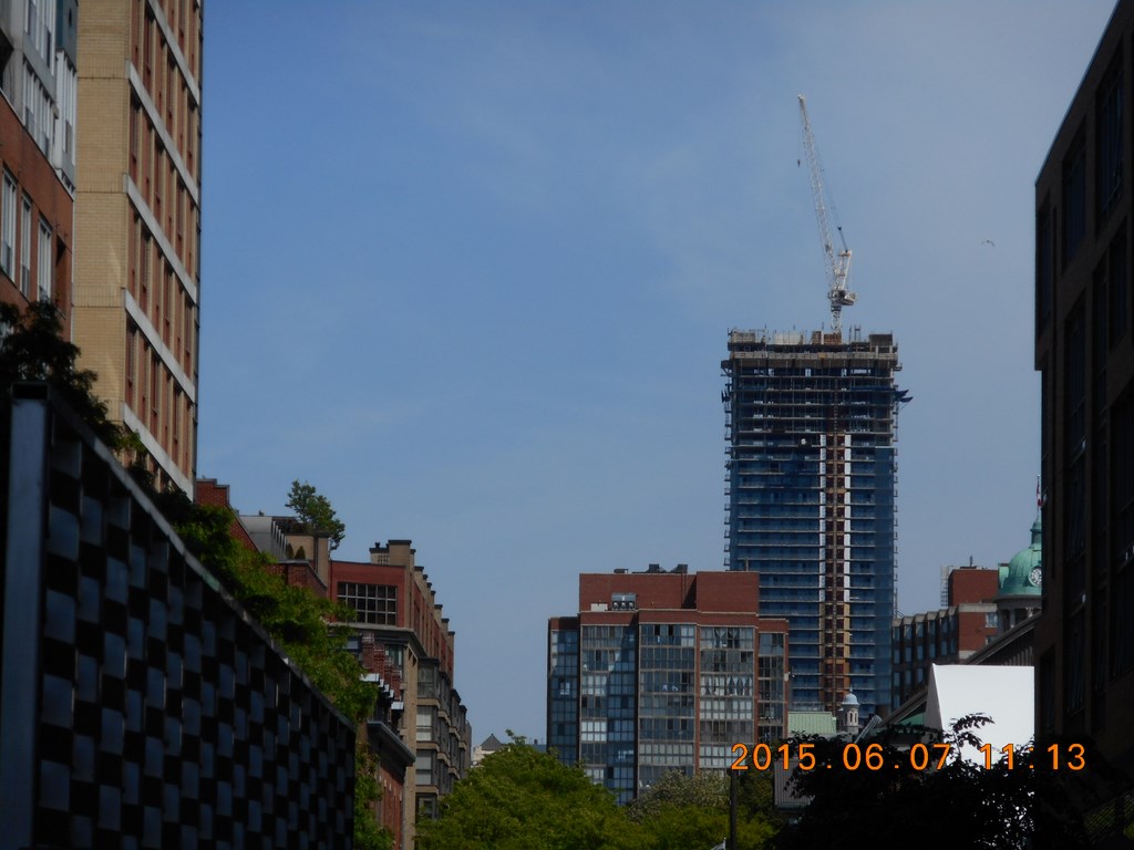
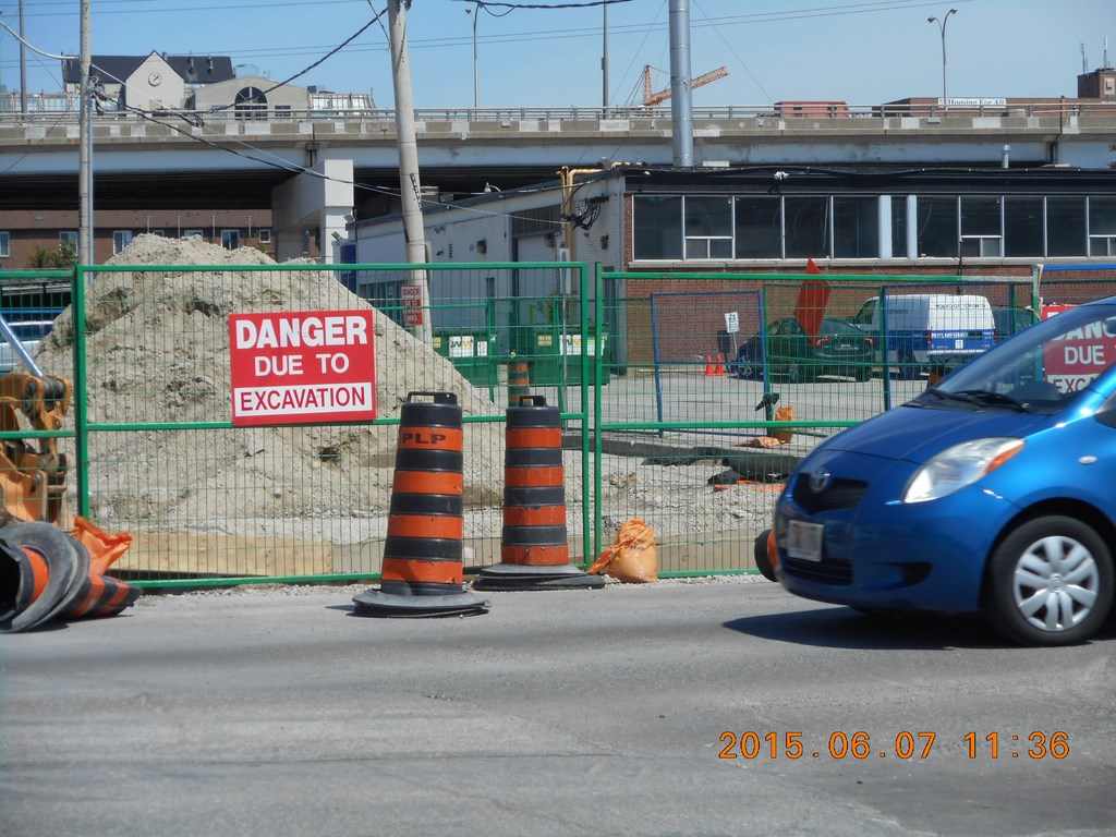
Another construction site.
Development is a barrier here!
Move along please; nothing to see here ...
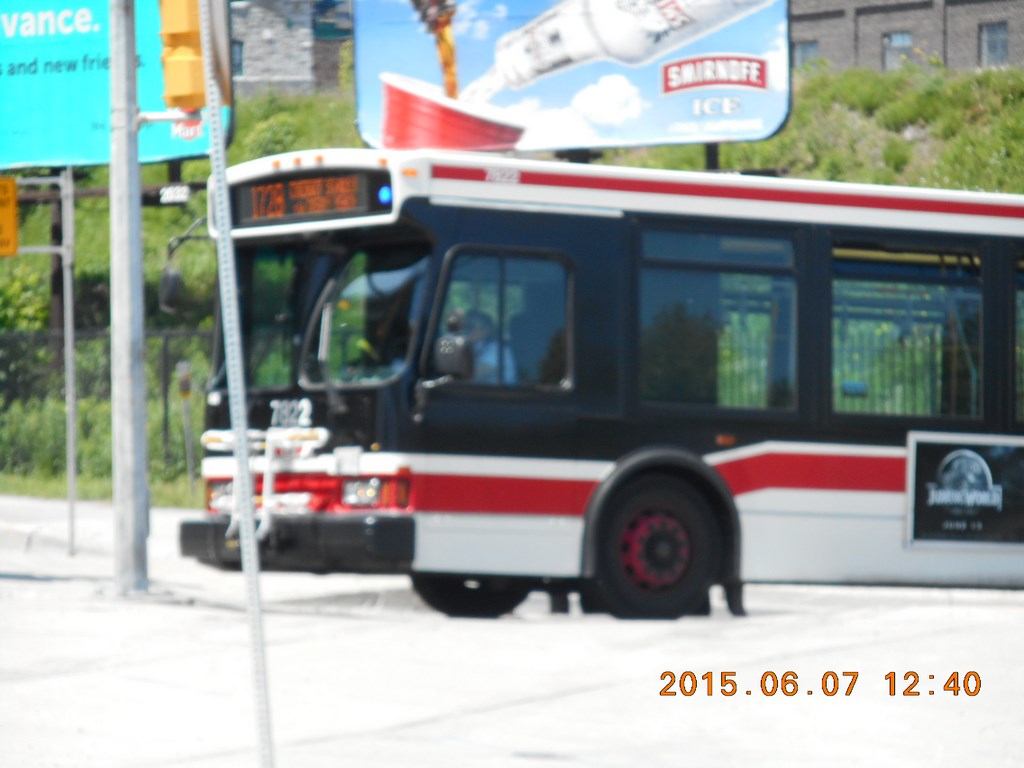
A #172B TTC bus (Mill Street and The Esplanade) lumbers its way onto Cherry Street.
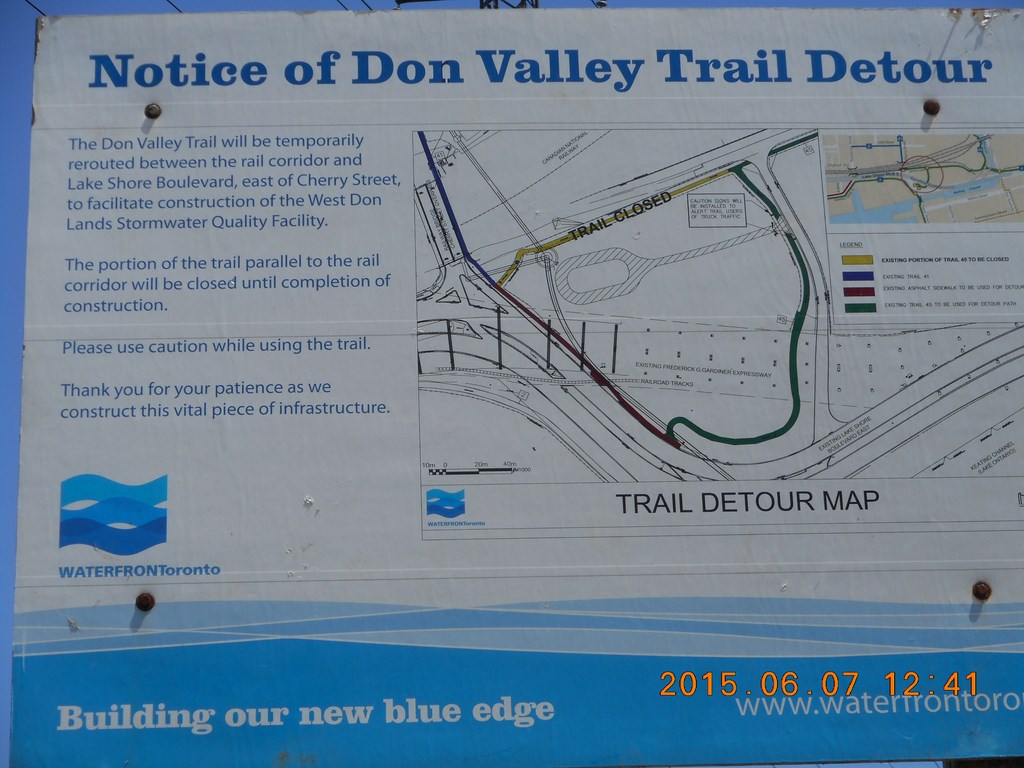
Guess what? The waterfront trail has been temporarily detoured to go close to the waterfront!
Development is a barrier here!
What a nice surprise.
I head under the railway lines.
Yep. Here be trains!
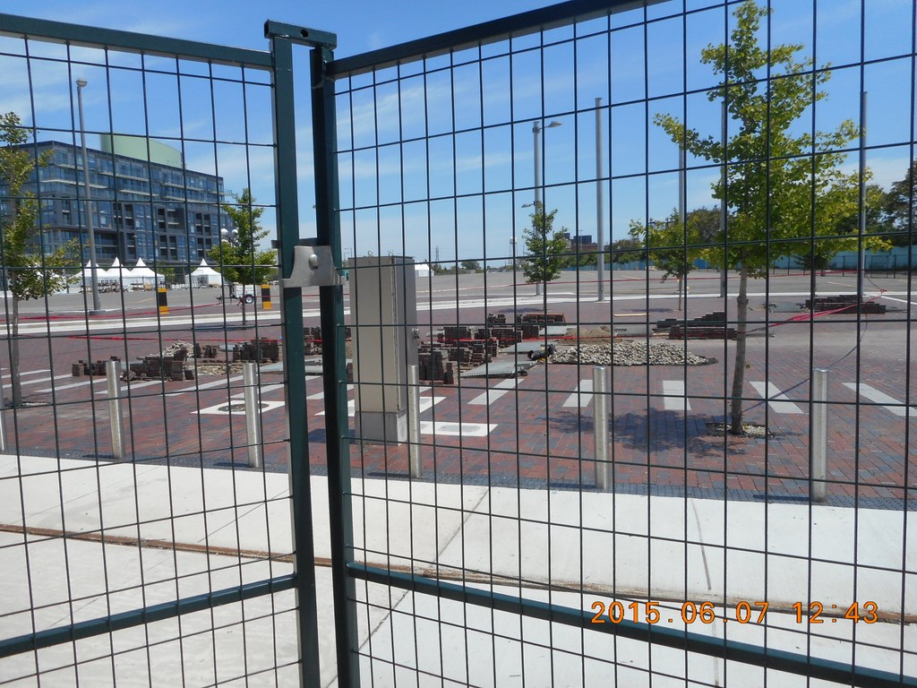
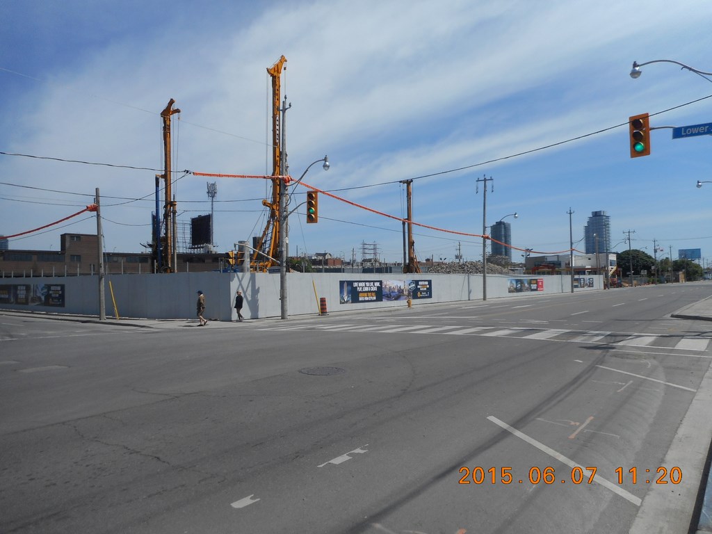
Another fenced-off lot. As usual in Toronto, the job is almost complete, but not quite. Most of the paving stones have been laid. But not all. Whatever it is, is probably about five work-days away from being ready.
It will be opened some time in the next two years.
Development is a barrier here!
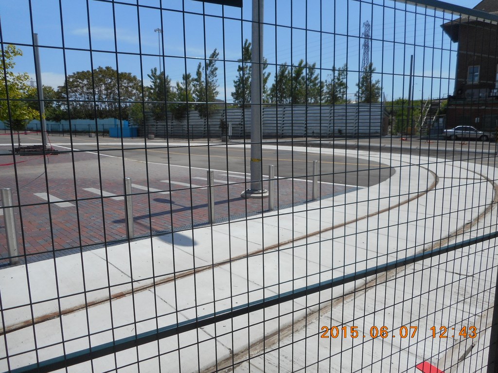
This looks suspiciously like a streetcar turning loop (circled in lower right-hand corner of second map) in which case it will be a TTC project.
In which case it will be opened some time in the next four years.
Development is a barrier here!
Of course, the chain-link fence serves to push pedestrians into the bike lanes and roadway.
You’re not supposed to walk around Toronto. Driving a car is OK. But not on foot.
Development is a barrier here!
Is that a “No Entry” sign I see in the intersection up ahead?
Can it be that Cherry Street is blocked off for non-construction?
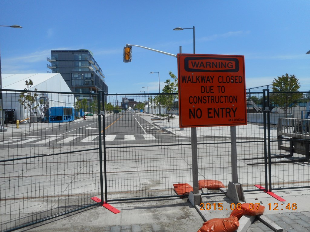
This walkway is closed.
Can you see the corresponding sign at the eastern end of the blocked-off walkway? It IS a long way away, isn’t it?
Development is a barrier here!
So what’s left but to foot it west along Mill Street.
Those are some of the old distillery buildings on the left.

There are a few beautiful spots along the way.
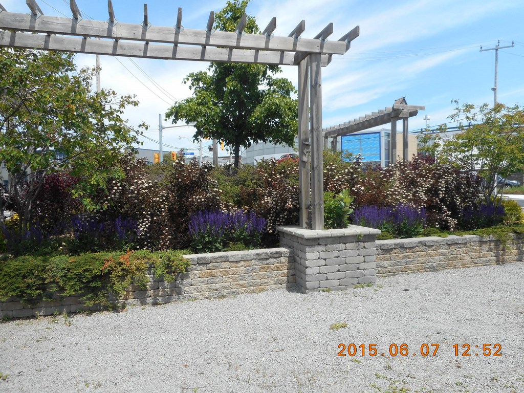
There are a few beautiful spots along the way.
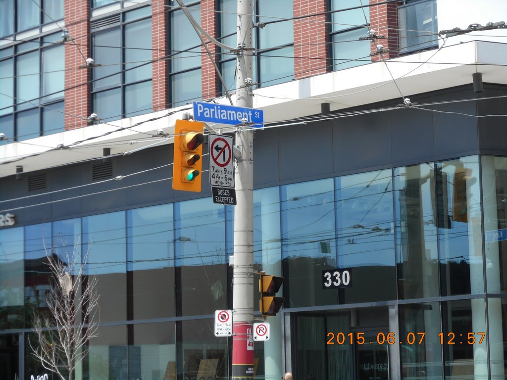
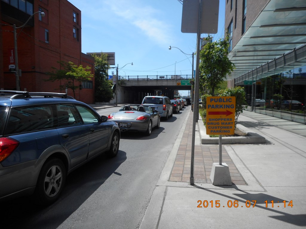
Here I am at Parliament Street.
I walk to Parliament Street from home and back.
I wonder if the ice-cream store (No Frills) is open?
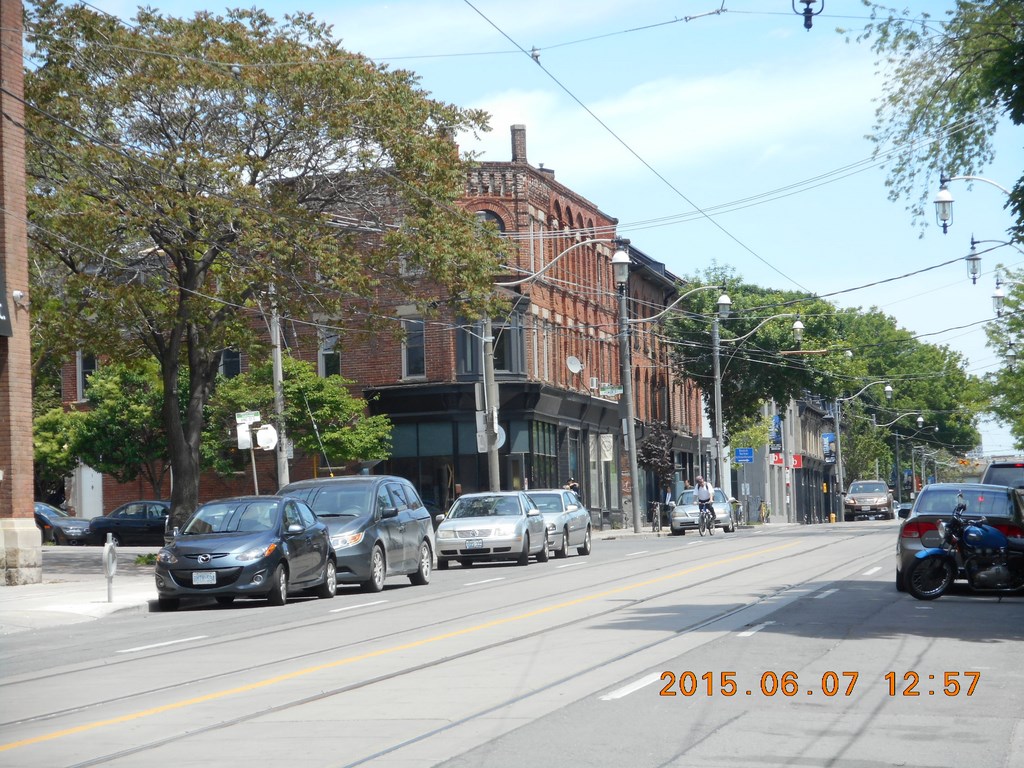
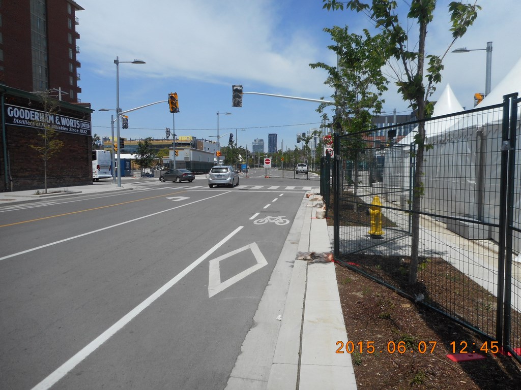
Looking East at King & Parliament Streets. This area has cleaned up nicely over the past thirty years.
709-218-7927 CPRGreaves@gmail.com Bonavista, Wednesday, April 12, 2023 8:22 PM Copyright © 1990-2023 Chris Greaves. All Rights Reserved. |
|---|