709-218-7927 The Landfall Garden House 60 Canon Bayley Road CANADA A0C 1B0 |
|
|---|
.JPG)
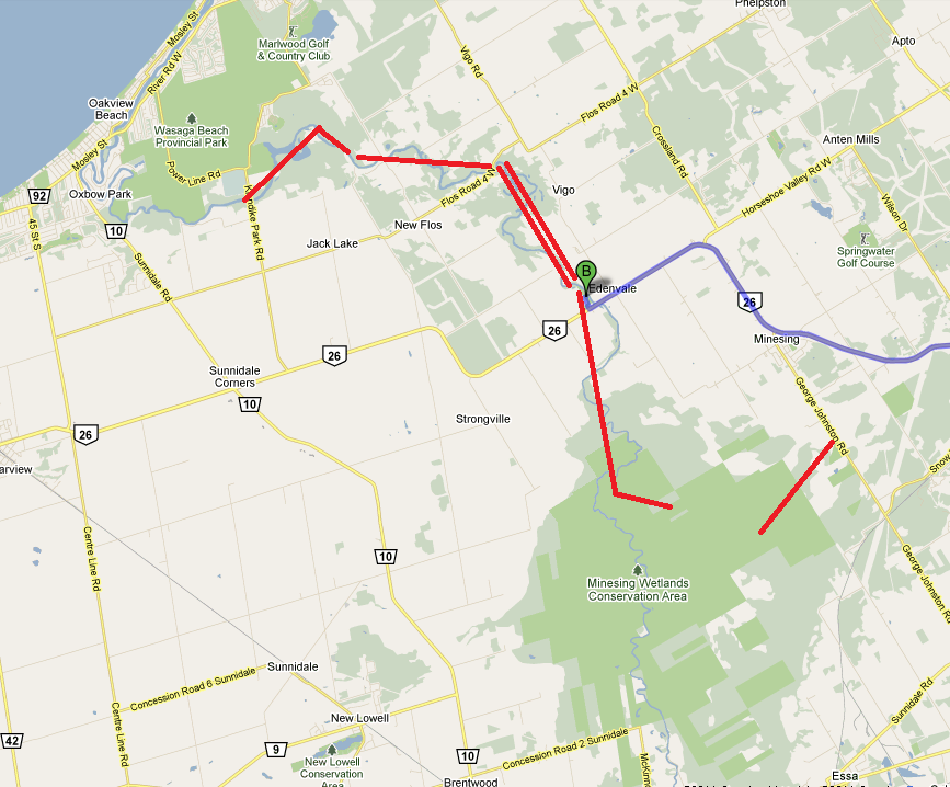
Nottawasaga River – Edenvale to Flos Road 4
Saturday, July 09, 2011
Driving directions: Jane and Steeles to Edenvale .
We have made previous trips on the Nottawasaga River, chronologically:
Nottawasaga River – Jacks Lake to Edenvale
In the map shown above, today’s trip (double red line) “joins the dots”, or fills in a gap.
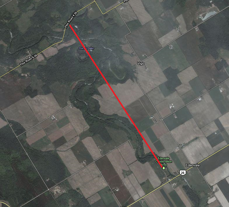
Here is a crow-flight view of our trip, North from the Edenvale Conservation Area and back again. The red line crosses through “Doran Lake”, mentioned way below.
According to Google Earth the drop is only 2 metres.
We had glorious weather, and apart from a couple of fishermen at the launch spot, met no one else on the river, and saw no sign of riverine human activity from the launch spot at Edenvale Conservation area to the Flos Road 4 West road bridge, at which point we turned around and paddled back upstream.
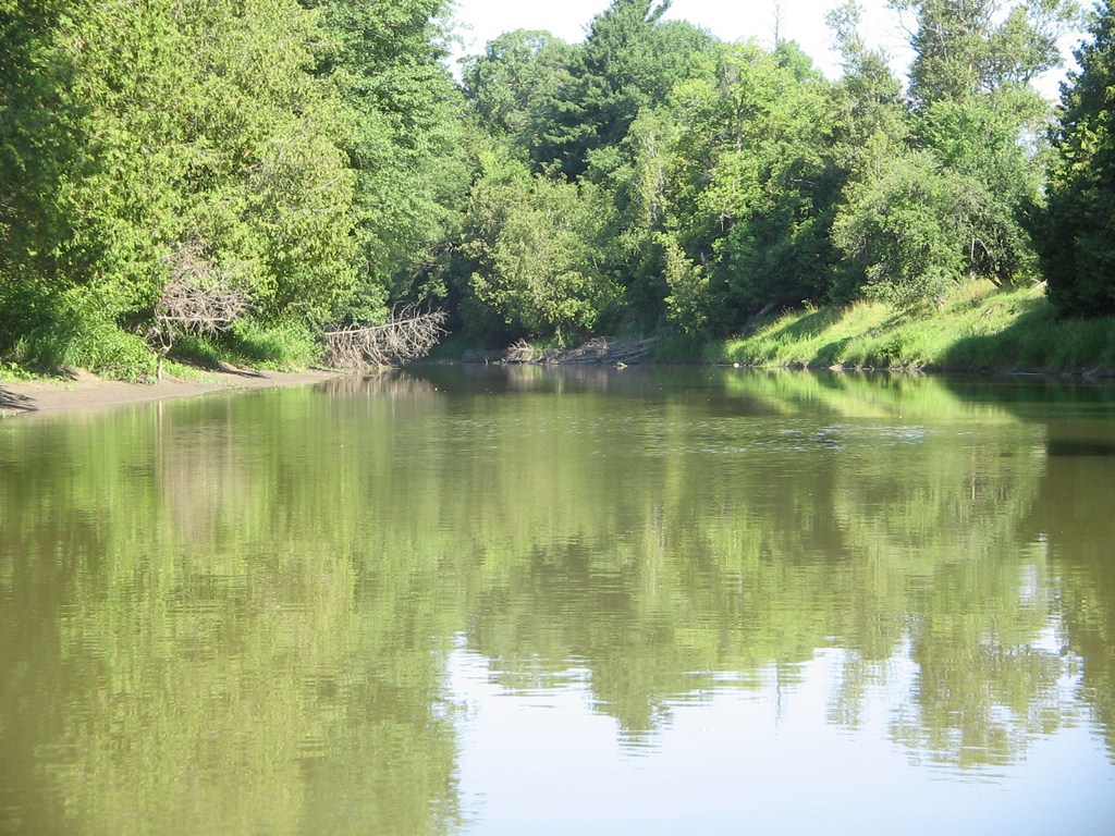
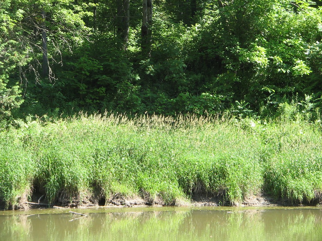
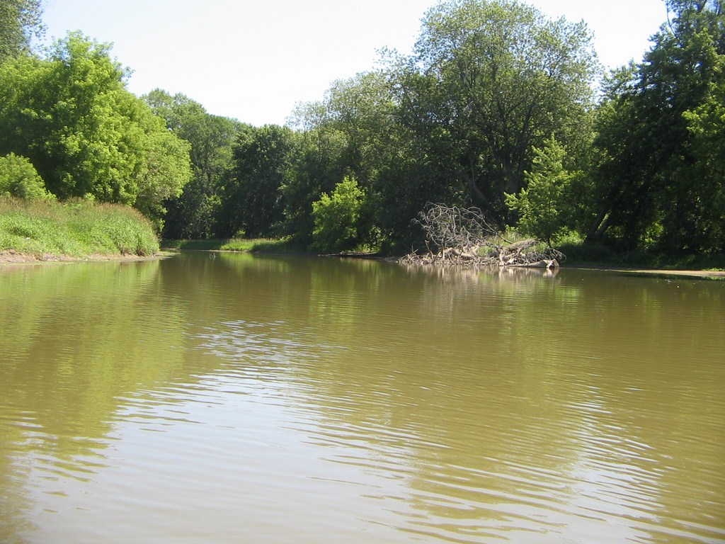
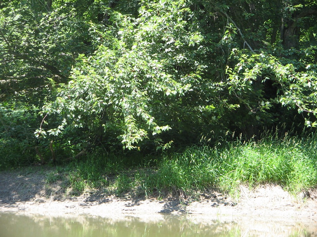
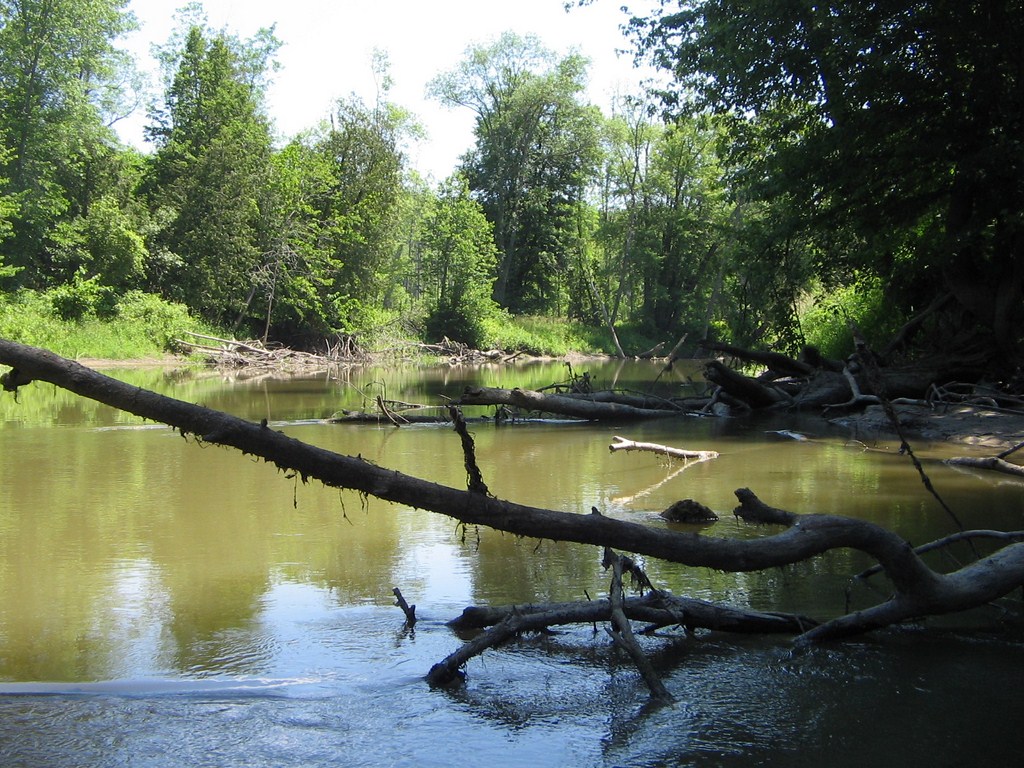
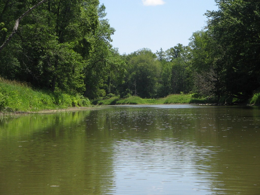
Immediately after we set off; the water is silt-laden, and reflects the colour of the vegetation that surrounded us the whole day.
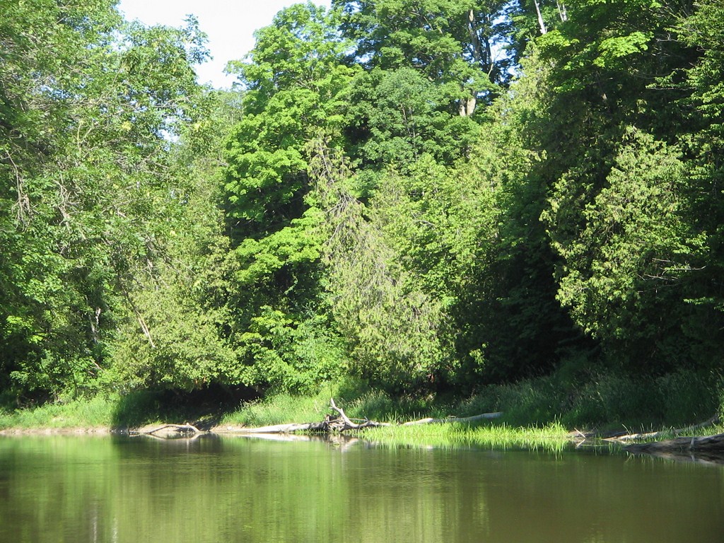
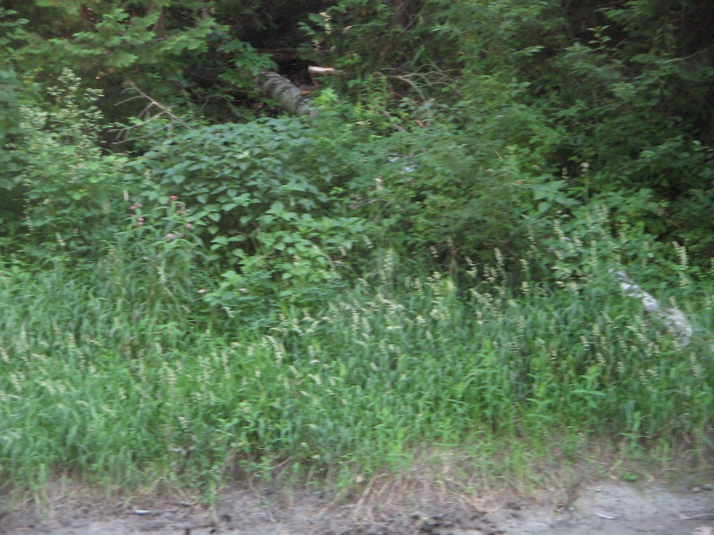
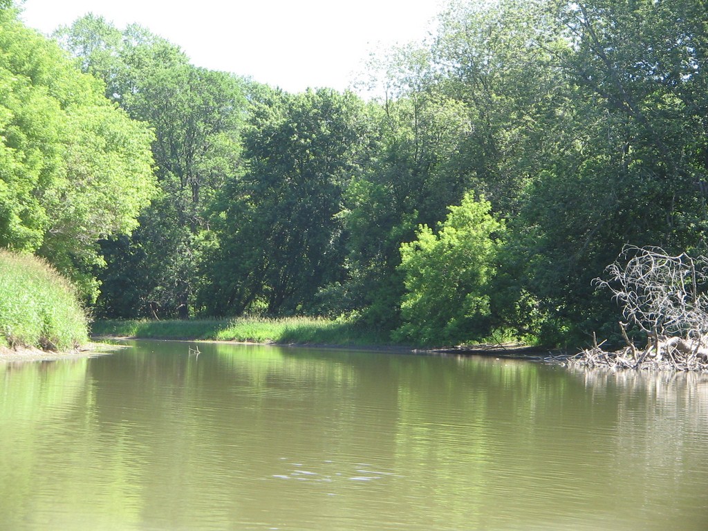
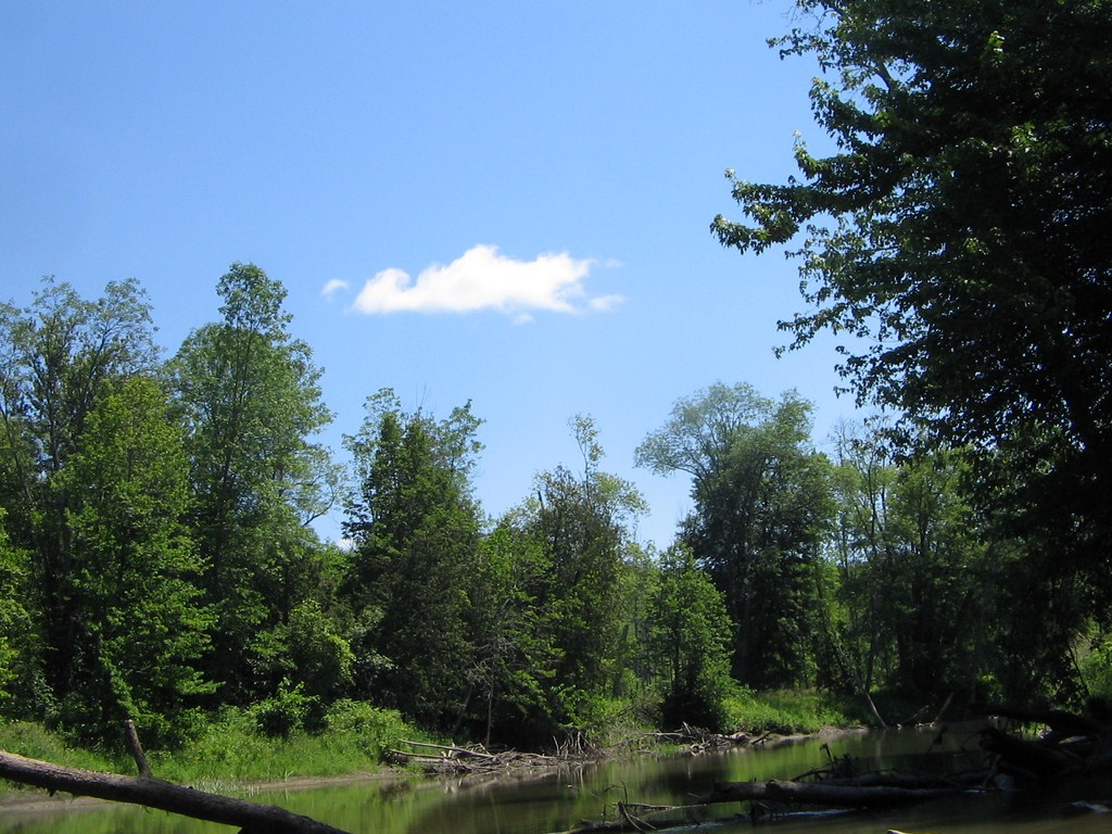
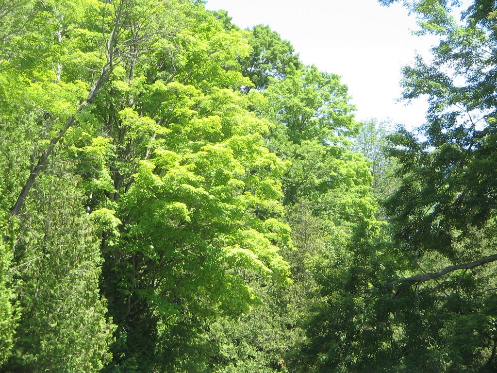
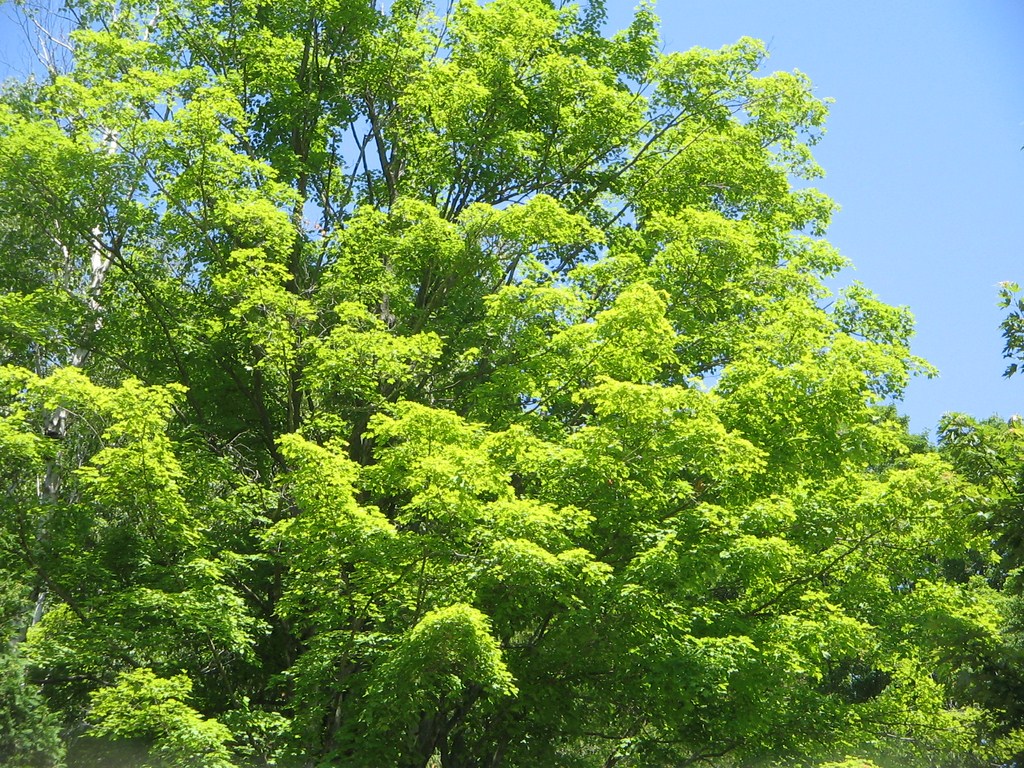
The trees were lush green, and I will be hard pressed to add captions to the rest of these photos except to say “Lush green”, “Calm”, and “Beautiful”.
Nice habitat for shore-dwellers, but apart from birds, we saw little aquatic life. This might be because the river was so muddy.
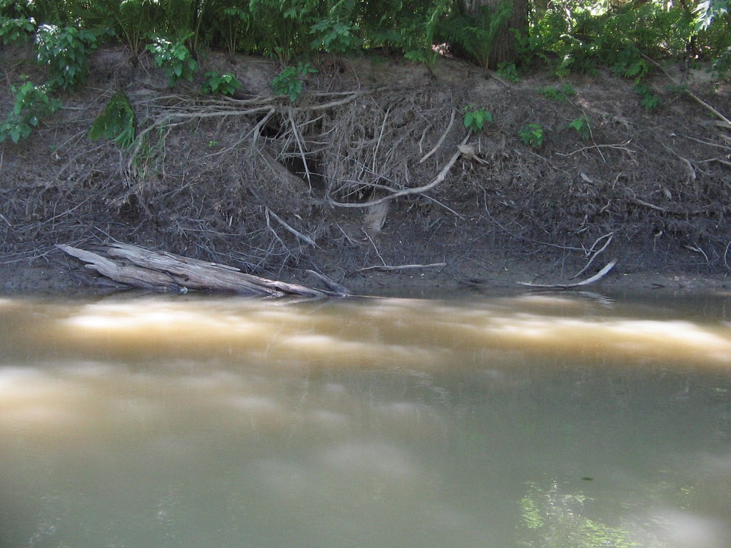
There were plenty of mud-banks lining the river, spots for frogs, turtles and the like.
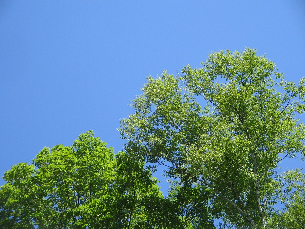
The sky was a deep clear blur, even when seen without sun-glasses, and the leaves a brilliant green against the blue.
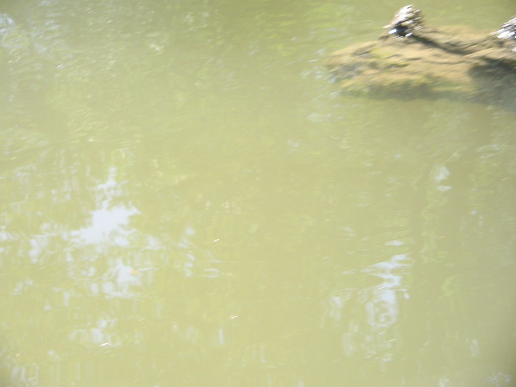
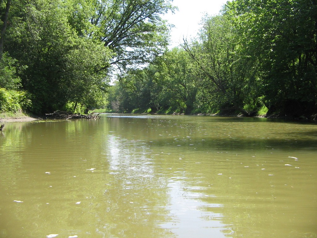
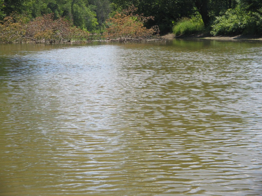
Here’s a quick shot of the muddy water.
We lunched partway down, and has often happened, were unable to spot our lunch spot on the way back. The river looks different as you approach it in the opposite direction!
“Lush green”, “Calm”, and “Beautiful”. There! I’ve said it again!
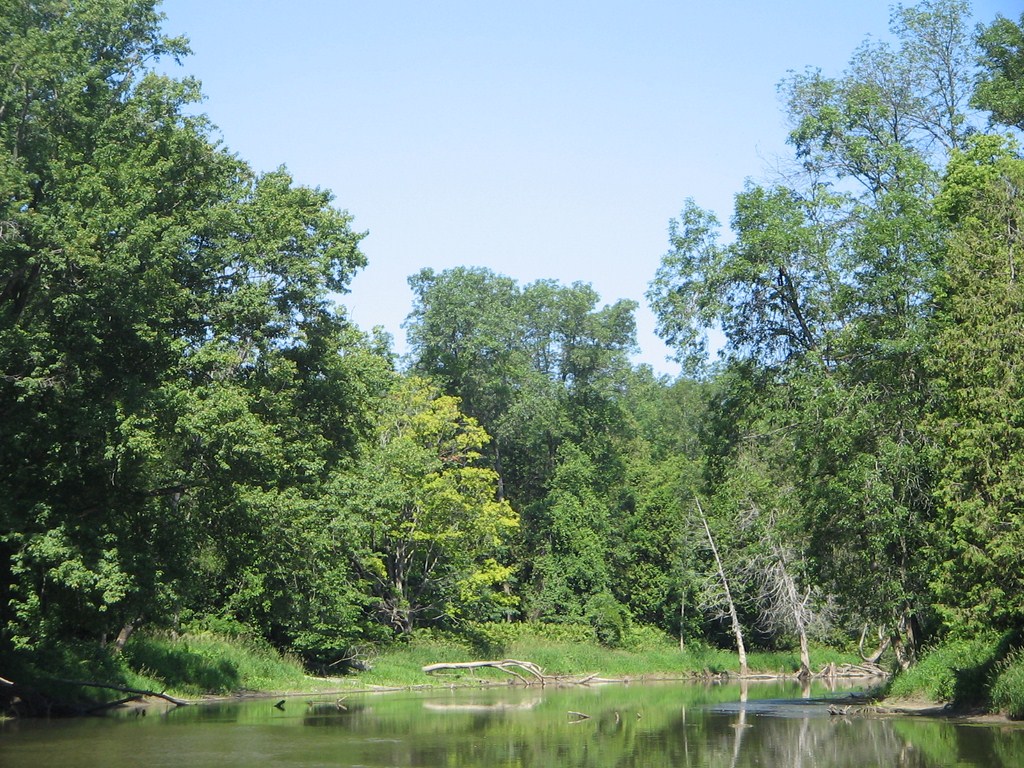
Each photo of the water shows how calm it is. The current picked up at various stages as the river narrowed or shallowed out, but we couldn’t say that the current was overwhelming.
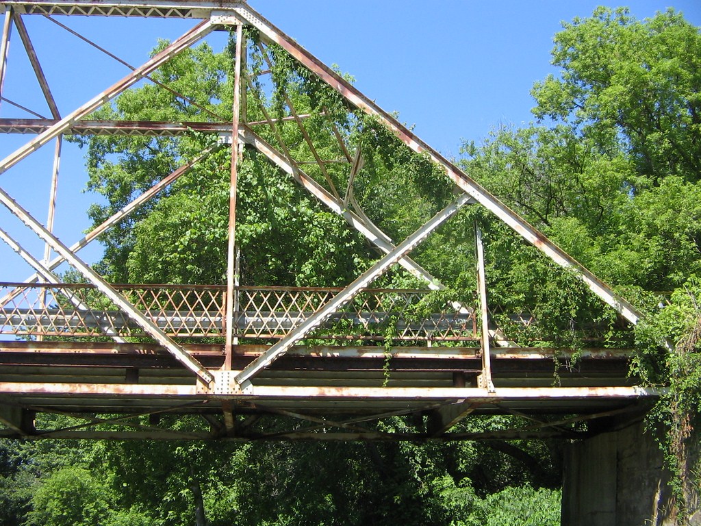
Here’s a shot of the bridge at Flos Road 4 West, just west of the dog-leg at Vigo Road.
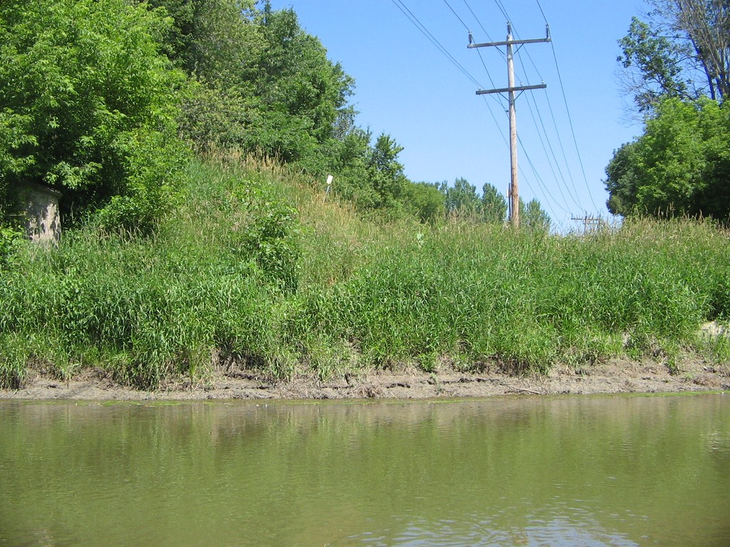
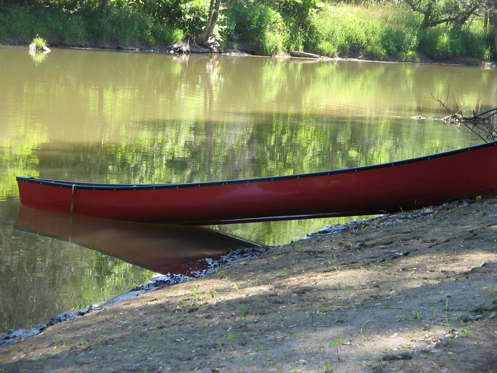
And here’s our launch spot at the same junction. Park on Flos Road 4 West and carry the canoe down a short bank.
From time to time a small breeze came up and cooled our faces.
“Lush green”, “Calm”, and “Beautiful”. There! I’ve said it again!
Here’s a video ; useless for the images, but OK for the soundtrack.
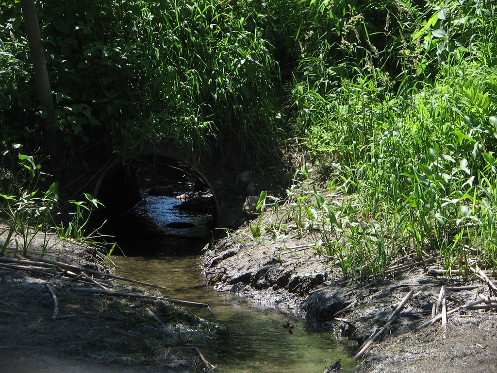
Here is the 30-inch culvert that drains Doran Lake.
Doran Lake is an ox-bow lake to the west of the river.
From the river the banks take on the appearance of levees of a flood plain, but the shelving is really a swamp formed by a cut-off loop of the meandering river.
What else can I see? Peaceful and calm the entire trip.
Here’s a another video ; useless for the images, but OK for the soundtrack.

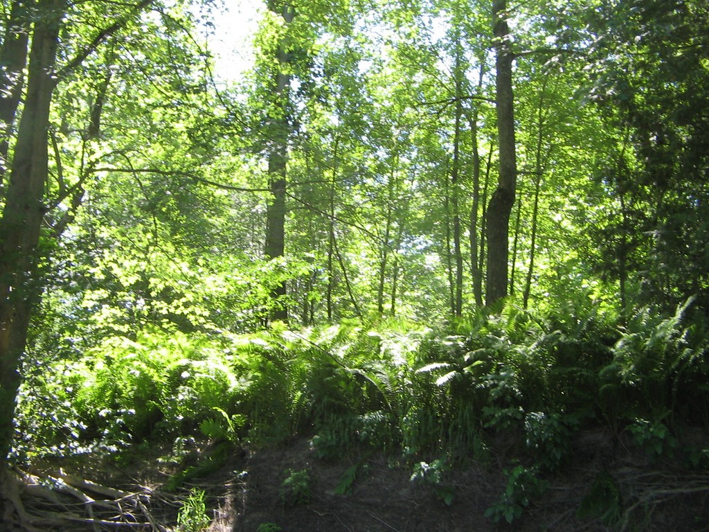
At times it looks like a tropical jungle.
Fred spotted a muskrat swimming on the surface but he (the muskrat) dived and swam away.
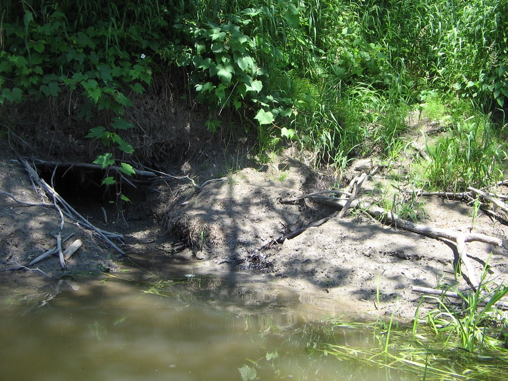
We think that this is the cave, to the left. A small trickle of water drains in from the swamp.
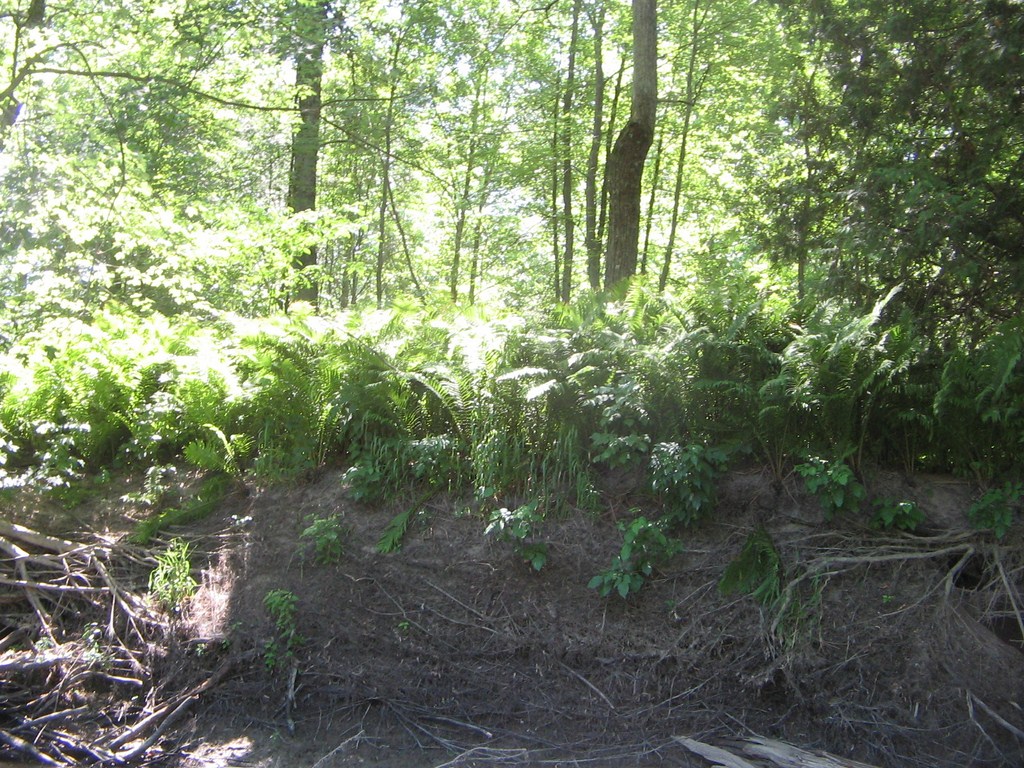
Ferns line the bank, and the immediate interior looks like the glades up Willow Creek
Another view of the bank.
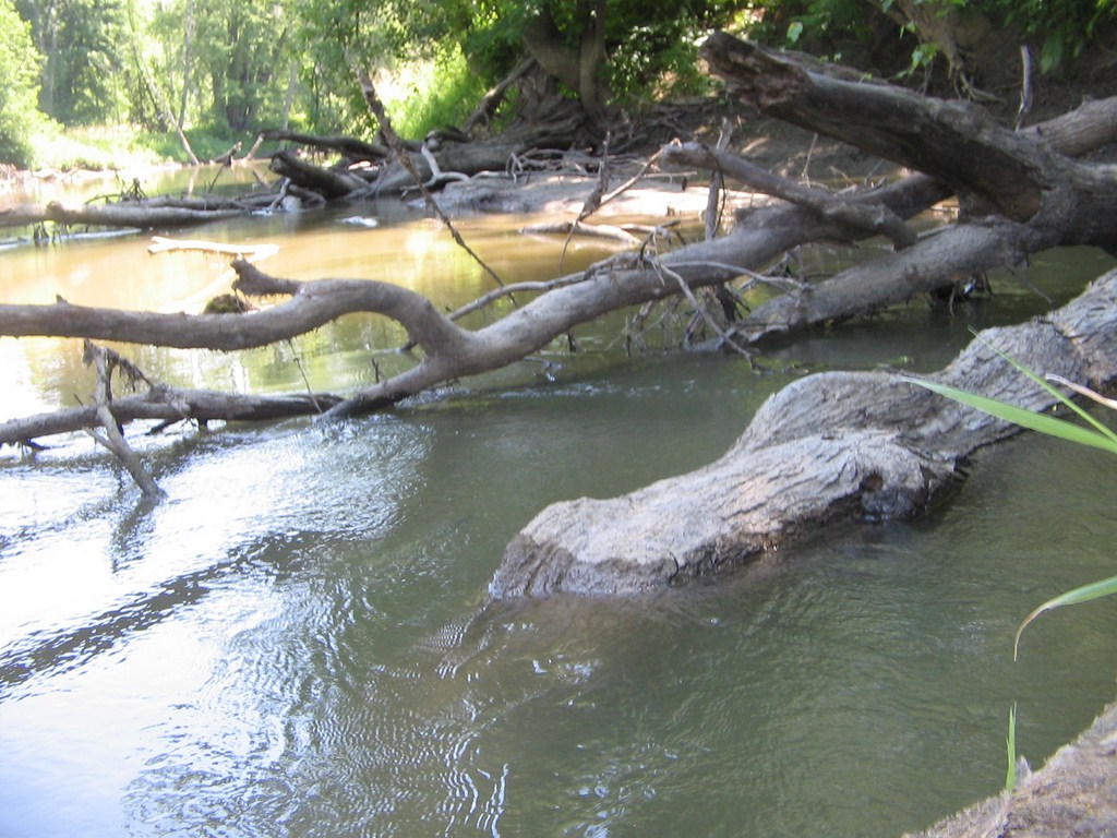
Near sunken logs, the strength of the current is evident.
... as is the muddiness of the flow.
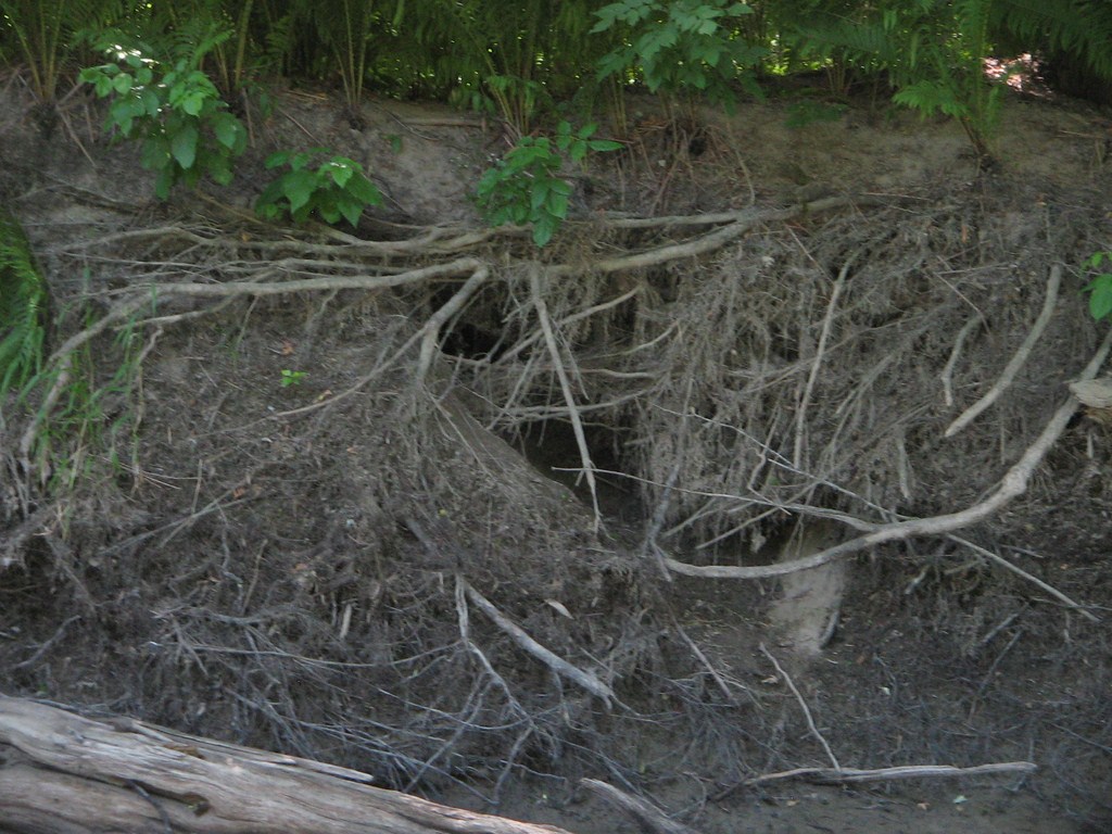
The bank offers many caves and hiding-places for wildlife.
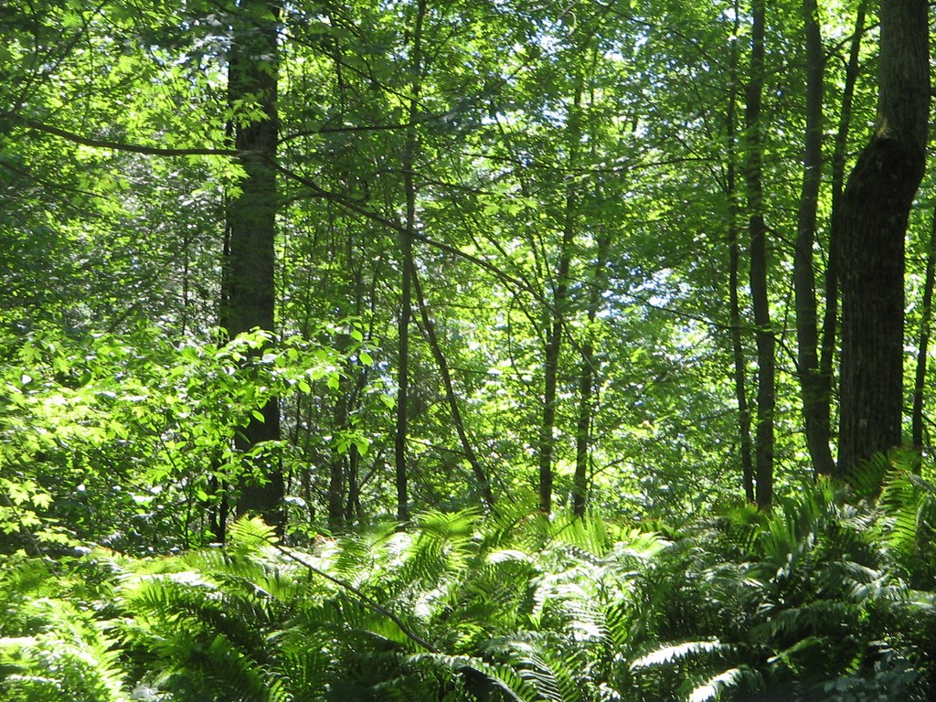
And still the banks are lined with inviting glades.
We paused on the way back upstream; here again you can see the current flowing past the logs.
I’d like to say “Not a cloud marred the sky”, but daren’t, except in negation.
I was fascinated by the flecks of foam that dotted the surface. They must have travelled a long way, probably from the Willow Creek junction.
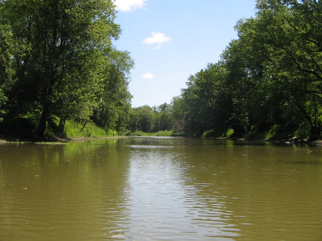
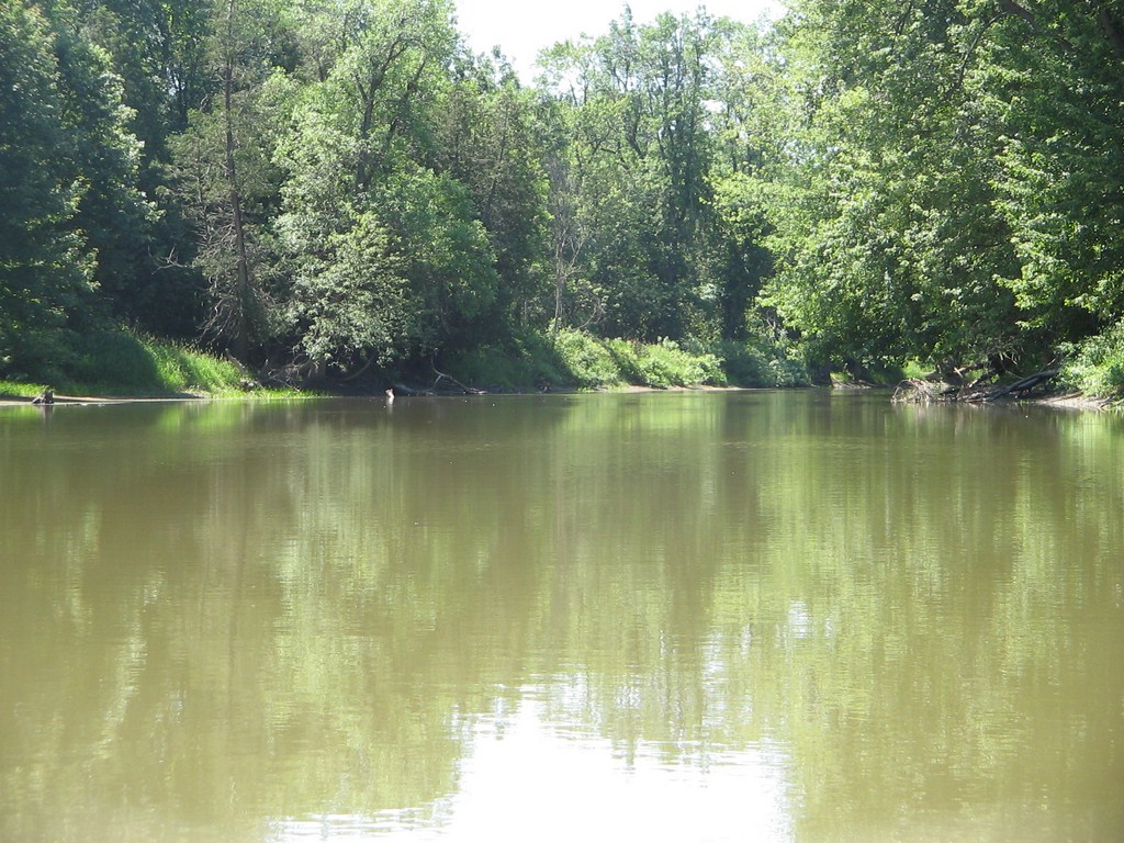
Here’s a broad view looking up-stream on our way back.
Just beautiful!
There is a touch of reddish-orange on some shrubs. Heat-stroke?
The leaves are in places bearing the lime-green shades of spring.
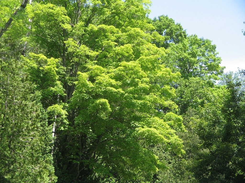
I couldn’t resist zooming in ..
... and in.
All in all an excellent trip.
709 218 7927 CPRGreaves@gmail.com Bonavista, Friday, December 04, 2020 6:28 PM Copyright © 1996-2020 Chris Greaves. All Rights Reserved. |
|---|