709-218-7927 The Landfall Garden House 60 Canon Bayley Road CANADA A0C 1B0 |
|
|---|
.JPG)
Minesing Swamp Ė Willow Creek
Saturday, July 10, 2010
Jane and Steeles to Minesing Swamp (Willow Creek)
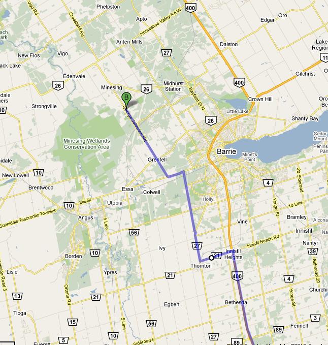
Take Highway 400 to Innisfail Beach Road. Go west on #21; go North up #27 to Dunlop Street West. Jag left then right onto George Johnston Road.
Shortly after Portage Trail/Snow Valley you cross a creek. This is not Willow Creek.
Further on is a large parking area on the west side of George Johnston Road. If you come to Hindle Lane youíve gone to far.
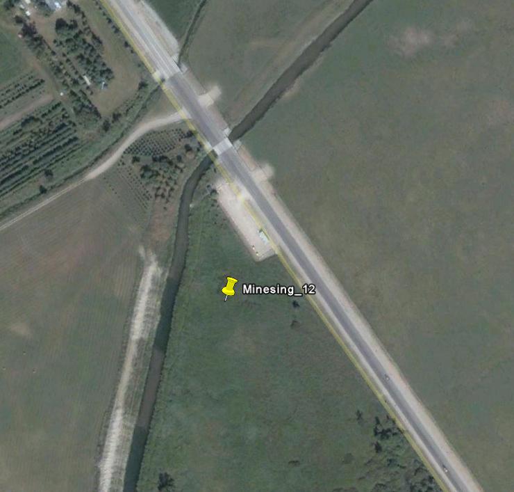
Google Earth reports 44į25'15.76"N 79į49'24.48"W
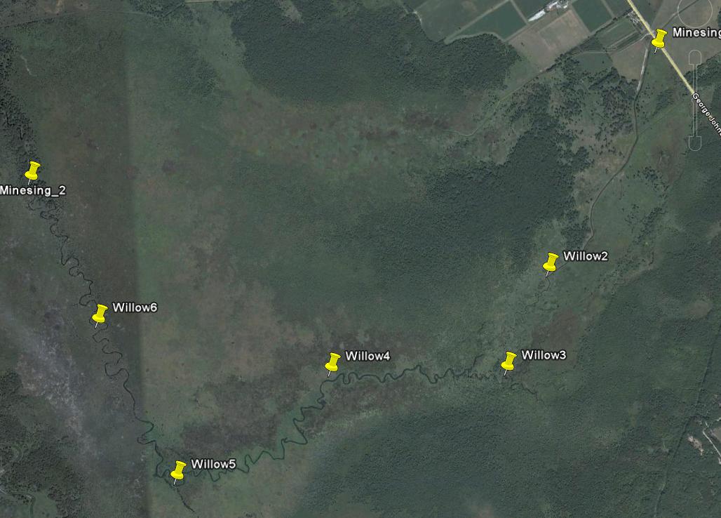
There is a canal-like section that extends to Willow2 at 44į24'23.62"N 79į50'3.88"W.
The next landmark is a junction Willow 3 with a lagoon at 44į24'0.41"N 79į50'19.41"W
Partway to Willow5 is Willow4 at 44į24'2.08"N 79į51'18.40"W. here the creek begins a southerly bent.
The most southerly part seems to be Willow5 at 44į23'37.00"N 79į52'11.71"W
Willow6 is at 44į24'16.18"N 79į52'35.73"W and represents a midway point between Willow 5 and the junction of Willow Creek with the Nottawasga River.
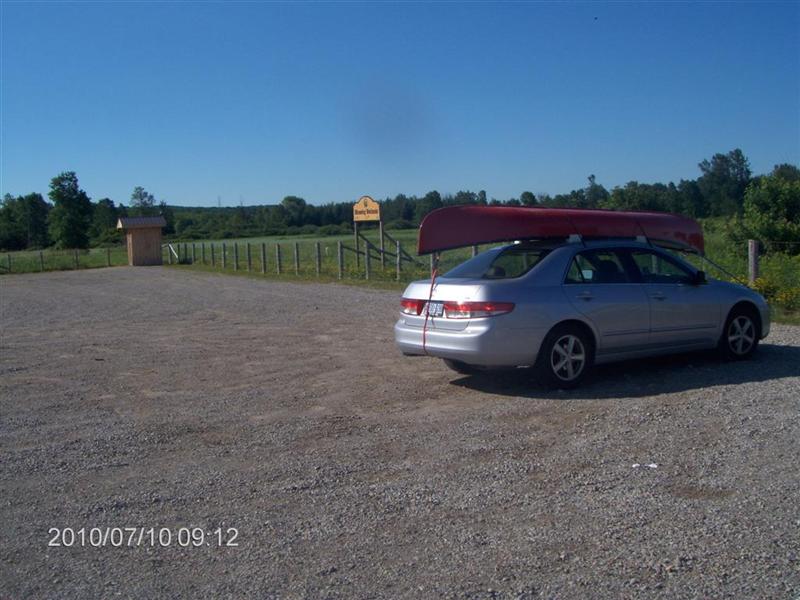
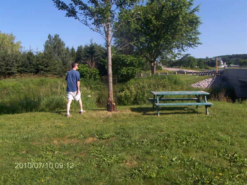
Less than an hour from Jane and Steeles Ė here we are in the parking lot.
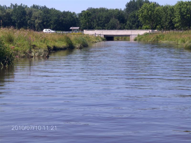
Here is a view looking North from the parking lot. Thatís the George Johnston Road bridge.
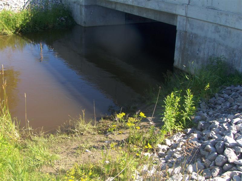
There is a launch spot right by the bridge. (Later on we paddled under the bridge and went a little ways upstream)
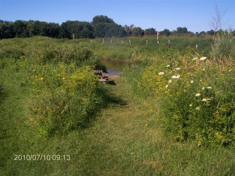
There is a better launch spot Ė with a wobbly little dock - about twenty yards downstream from the bridge. Be careful stepping onto the dock.
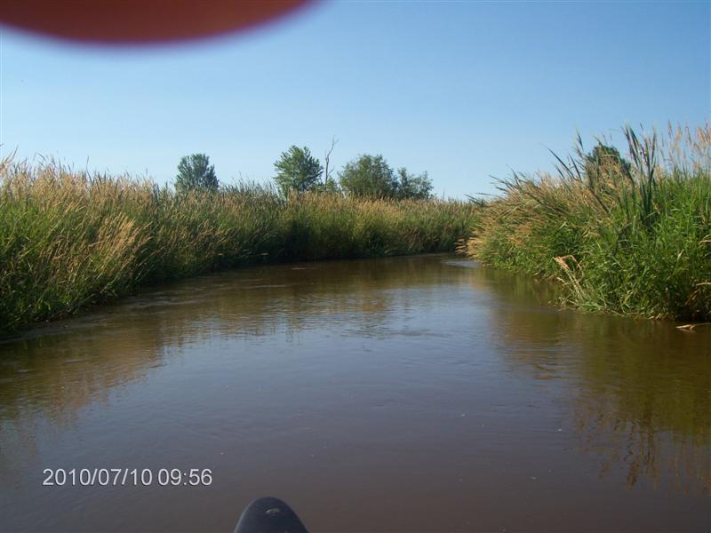
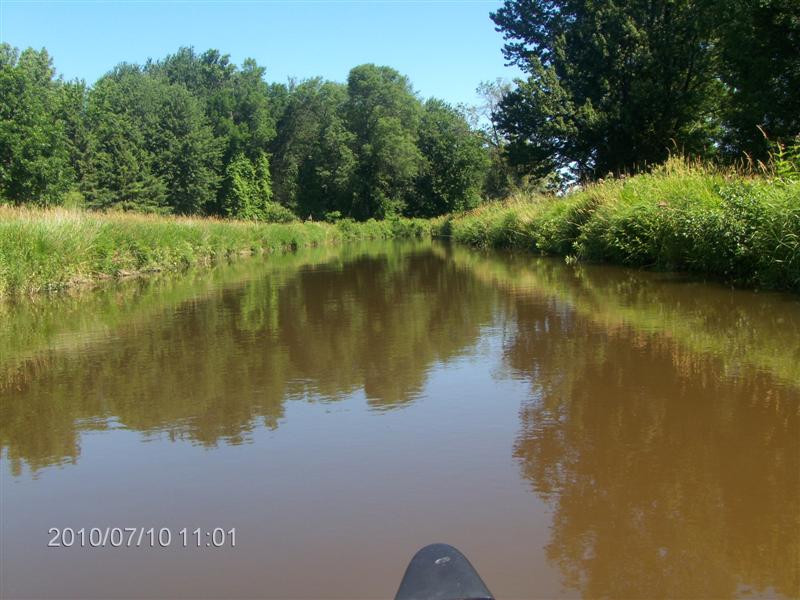
From the dock the canal-aspect of the creek is obvious.
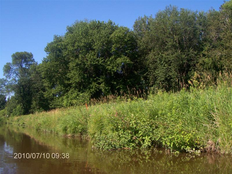
Downstream, trees creep in towards the bank and we think that holds great promise.
But soon we are back in canal-land.
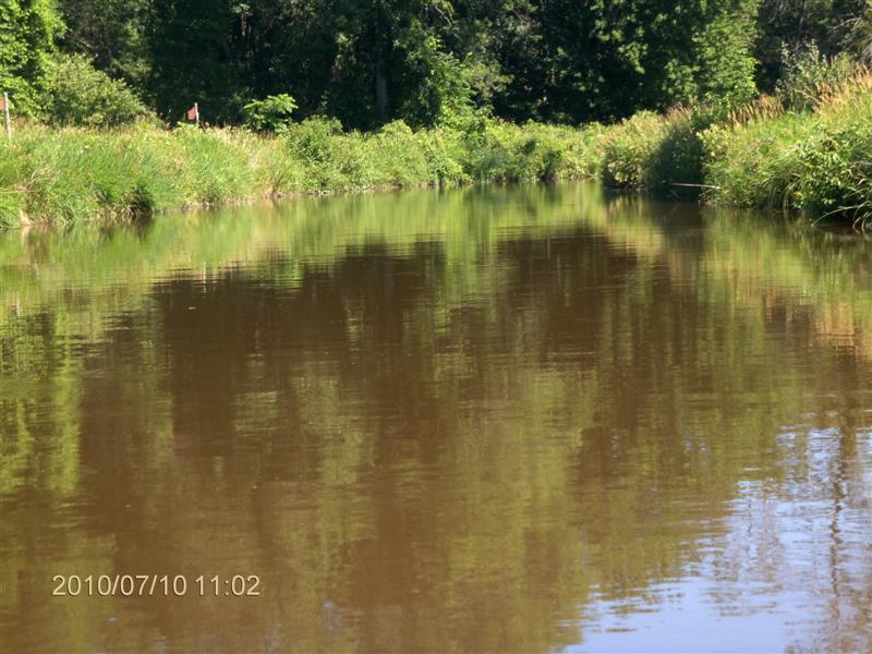
Boring.
The current soon picks up.
Here is a Movie 2436 (2 MB) of the current streaming away.
Shortly after this shot, the canal began to widen and narrow, and the current behaved as you would expect, picking up speed, and twisting and turning.
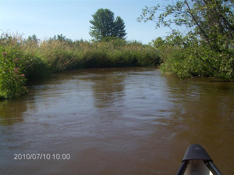
We passed Willow2 and the pace quickened.
No time to take photos; we had to focus on paddling and steering to stay mid-stream and away from the banks.
At one point we turned around to see if we could cope with the current paddling back, for the plan was to paddle downstream for an hour, and to paddle back upstream for 2Ĺ hours Ė a reversal of our timing on the Edenvale trip.
Close to Willow3 we made a decision to turn back. The current here was fiercer than we had experienced way downstream three weeks ago. Perhaps so because of the recent heavy rains that swept the area.
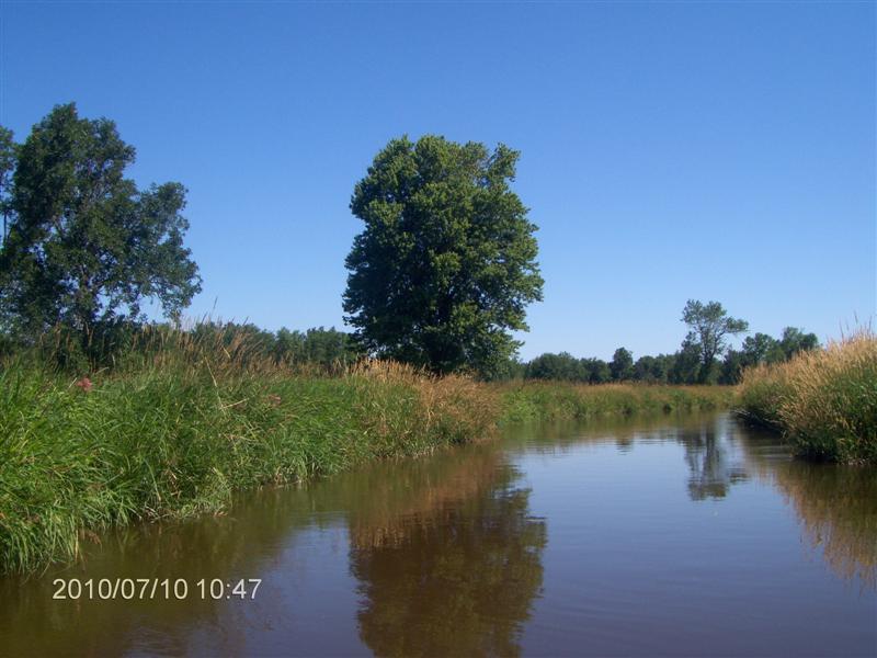
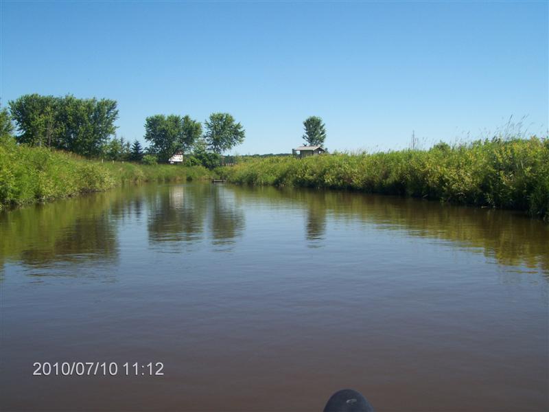
Here we are heading back towards our launch spot.
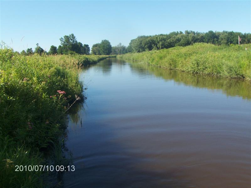
In places the canal is mirror-like. The water is brown and murky, but placid.
If only the banks were lined with trees instead of water-grass and reeds!
A zoom-in shot of the view above.
Up ahead is the dock, our starting-point.
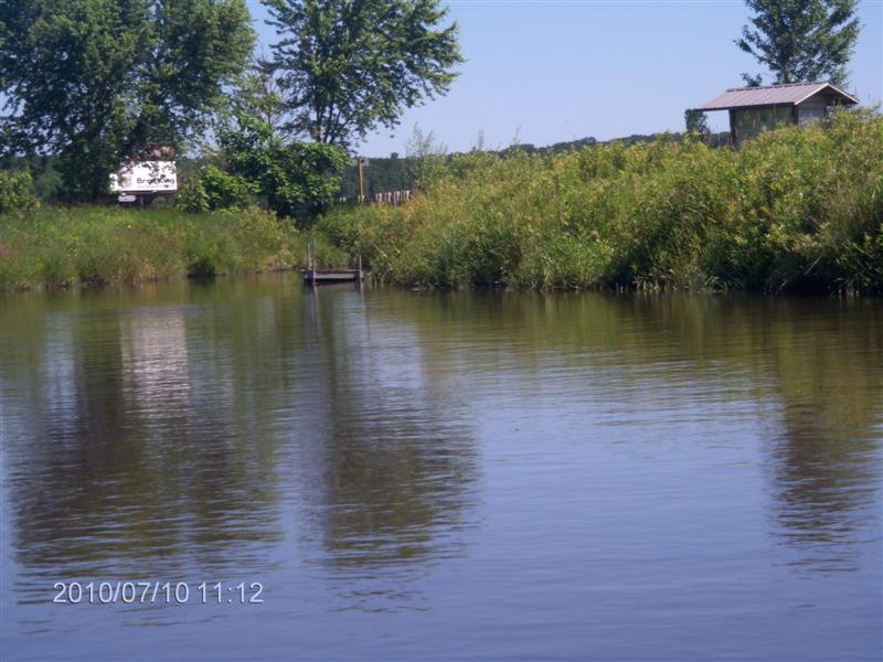
Even from here it looks rickety!
The spot boasts a little information stand and a couple of picnic benches.
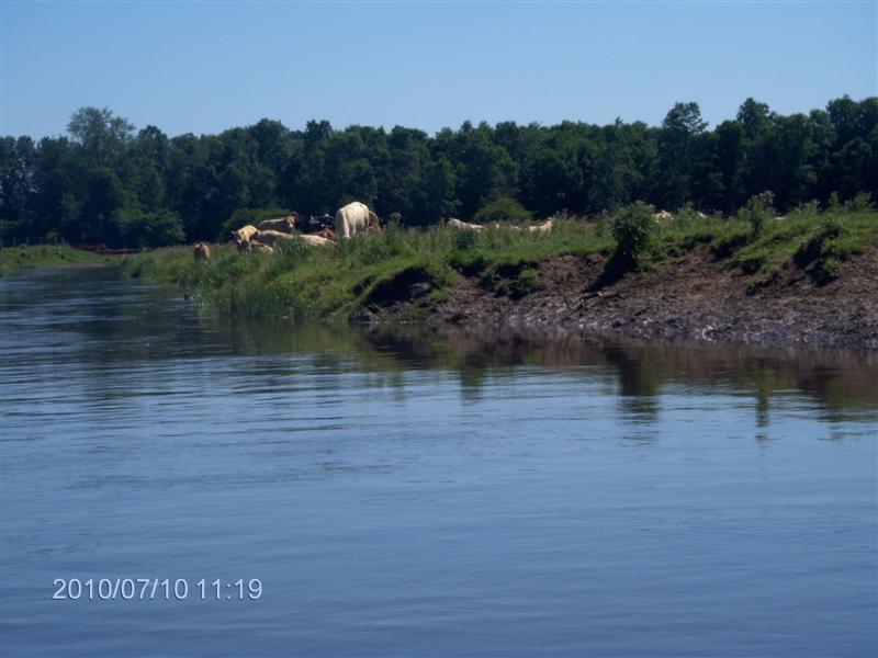
We ducked under the bridge and met some cows grazing on the banks.
One of them was a huge bull, who raised up and stared at us as we approached.
We turned tail and ran, figuring that if he just launched himself into the creek, weíd be swamped.
So here we are approaching George Johnston Road from upstream.
Worth Noting
If you are unsure of your paddling spot, it is better to put in at the downstream end and paddle Upstream for the outward trip, and return with the current.
I learned a bit more about interpreting Google Earth:
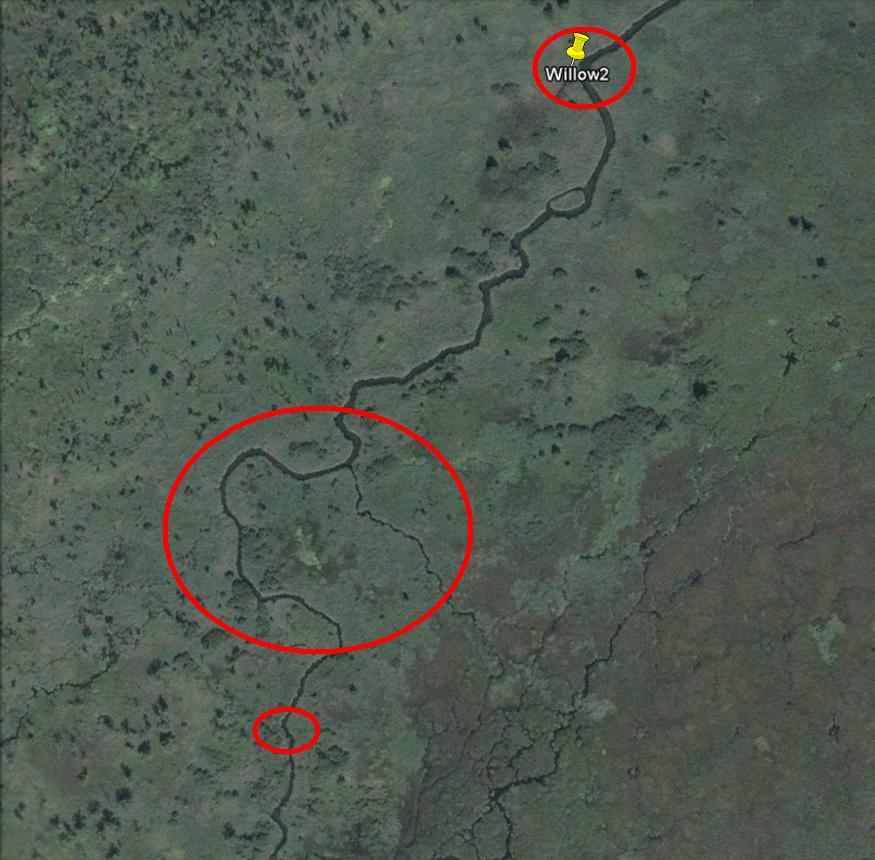
We turned around in the region of the large circle; it was at that point that we felt the paddle back would be taxing our limits.
Up to the point Willow2, on Google Earth the creek shows relatively wide, and we felt OK with the current.
Downstream from our turnaround point, the creek narrows further (small circle at foot of image).
So in this screenshot we see the creek narrow. That implies increased current (the depth being similar).
Now couple this with the rains we experienced the past week, and that water is draining out through Willow Creek, and we find that a too-strong current could have been predicted for our trip today.
Perhaps Ďtwere better we had completed Kahshe River!
709 218 7927 CPRGreaves@gmail.com Bonavista, Friday, December 04, 2020 6:11 PM Copyright © 1996-2020 Chris Greaves. All Rights Reserved. |
|---|