709-218-7927 The Landfall Garden House 60 Canon Bayley Road CANADA A0C 1B0 |
|---|
Kahshe River – Elderberry Lane
Saturday, May 15, 2010
About 135 Km north of Jane and Steeles, up Highway 11.
Jane and Steeles to Elderberry Lane
Take Highway 400, then Highway 11. About 3 miles after crossing the Severn at Severn bridge, exit to rainbow Circle/Sparrow lake Road “D” and proceed west to Baseline road. Turn North to the junction with Elderberry Lane (there is a building materials site). Turn left for about three hundred yards until you come to the bridge.
The building materials site is to the right of the letter “B” above.
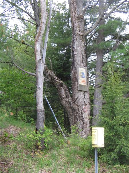
The first thing we noticed when we parked (at the east end of the little bridge) was that someone has put a tree up for sale. It‘s a poor specimen.
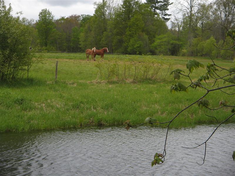
Two beautiful draft horses watched our progress with equine equanimity.
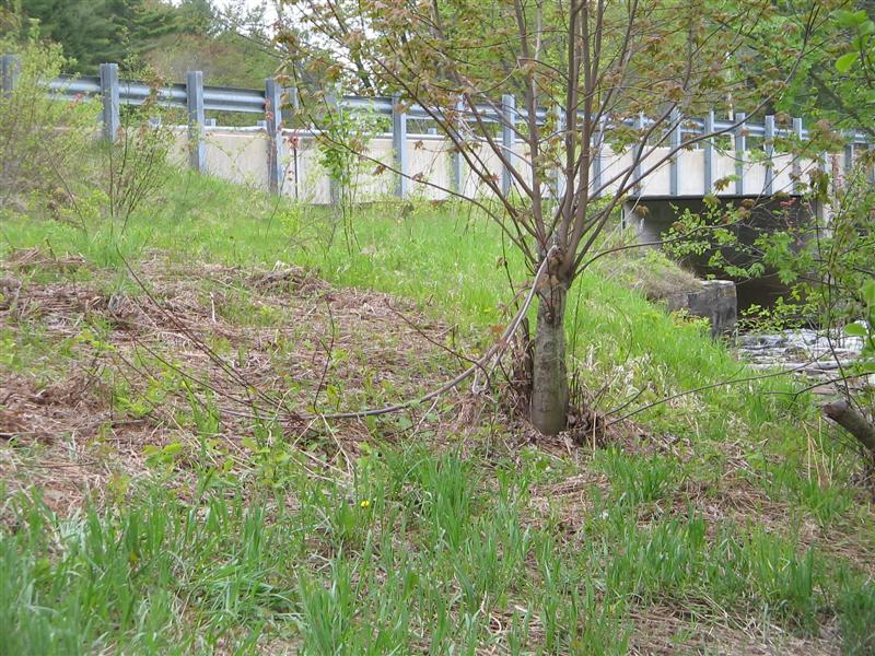
Here is a view up to the bridge from our launch spot. We hoisted the canoe over the guardrail and about ten feet down to the bank.
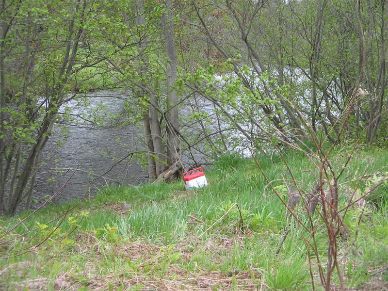
This looks very much as if Fred’s lunch pail is the first and most important thing to be ported, doesn’t it?
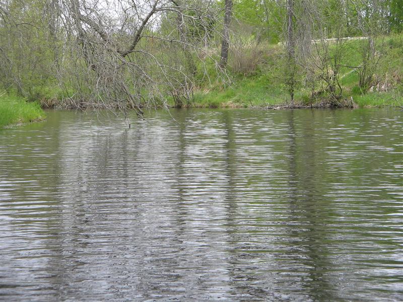
Although the bridge spans fierce rapids (see later) our launch spot provided us with a smooth entry. We countered a significant current all the way upstream (mid May) but nothing strenuous.
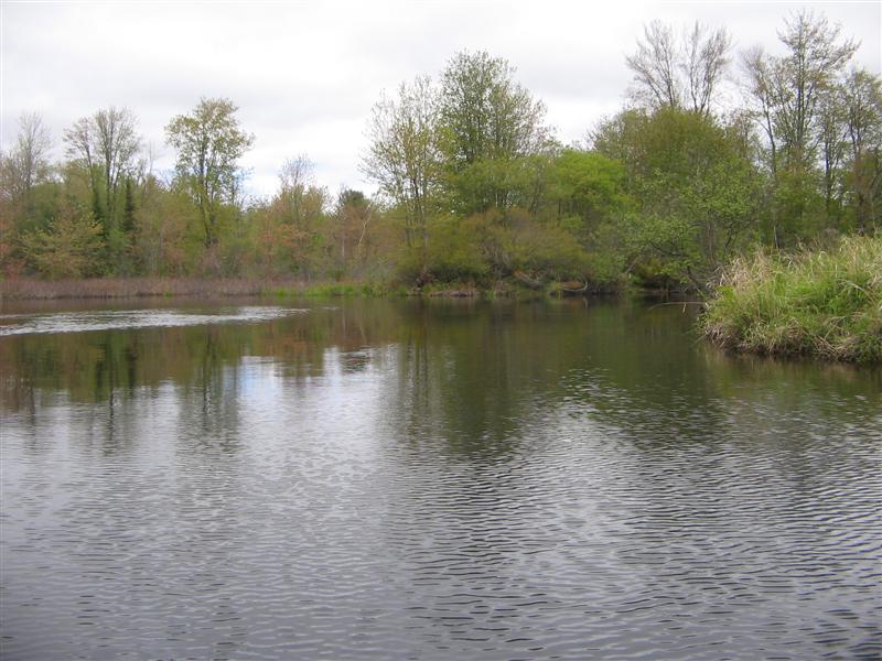
The scenery started off in a pleasant enough way.
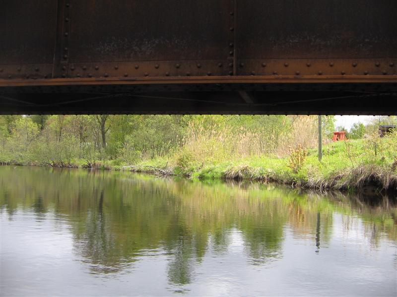
Under the single-track railway bridge. The line is still in use, for we watched a train pass through while we were unloading the car.
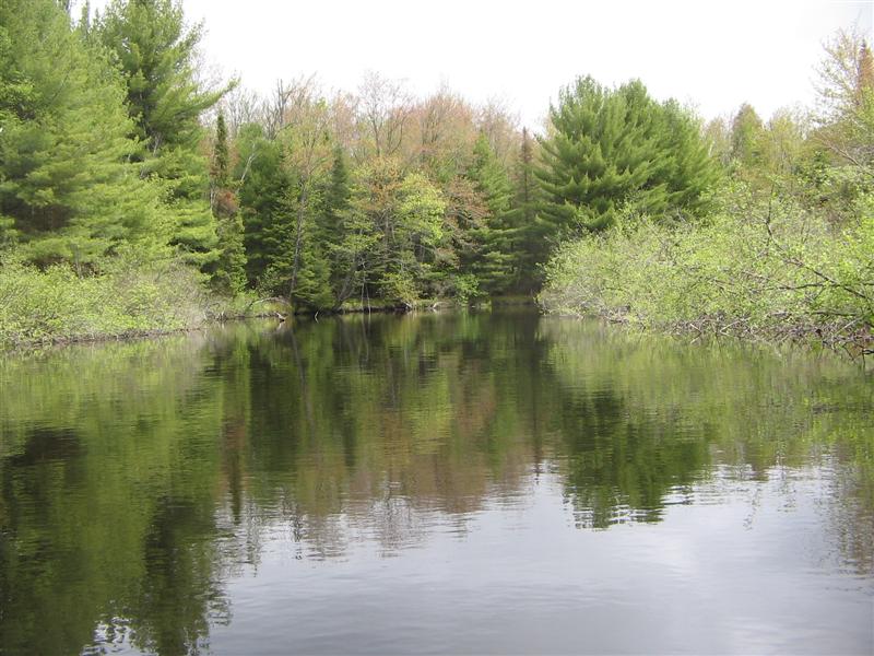
Then we paddled into picturesque country – the sort of scene painted by that guy who does 30-minute paintings on WNED-TV in Buffalo.
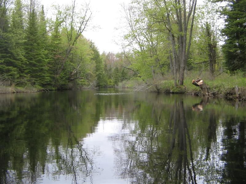
What can I say for the next series of photos? The water was near-glassy, even with the detectable (but not detestable) current.
This situation suits us – paddle out upstream against the current, paddle back with the current.
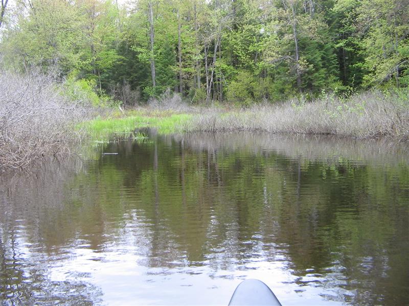
We nosed into a little cul-de-sac.
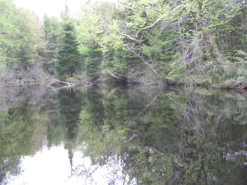
The trees looked better the further we went upstream.
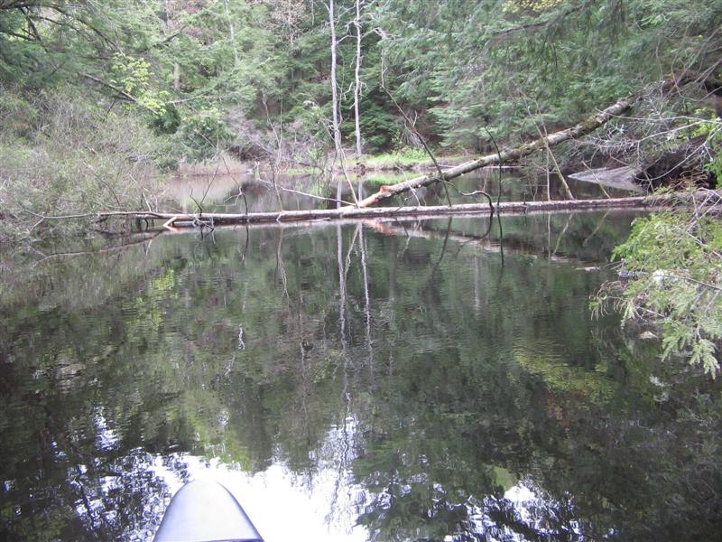
Until … our first of several hazards.
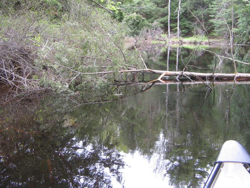
Like this one, too!
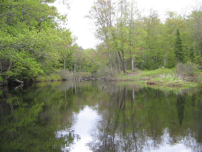
Up ahead we can see a huge tree that completely blocks the river.
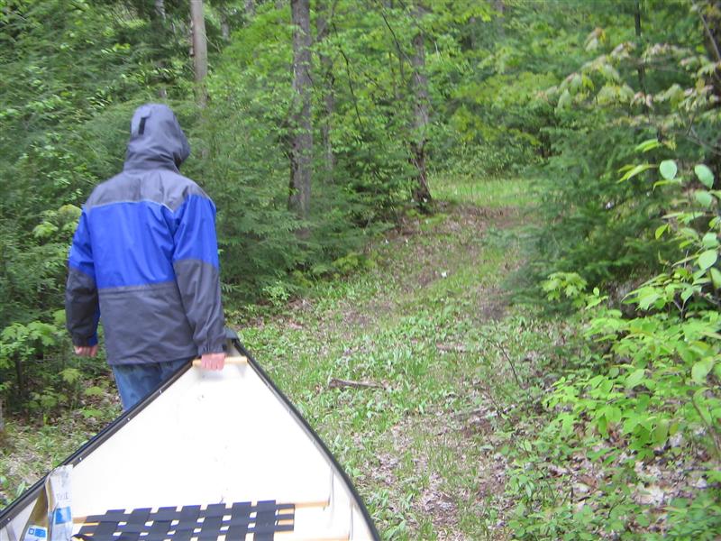
Portage Number two. Fred is cloaked against the vicious mosquitoes. Where is the 20-knot wind when you need it?
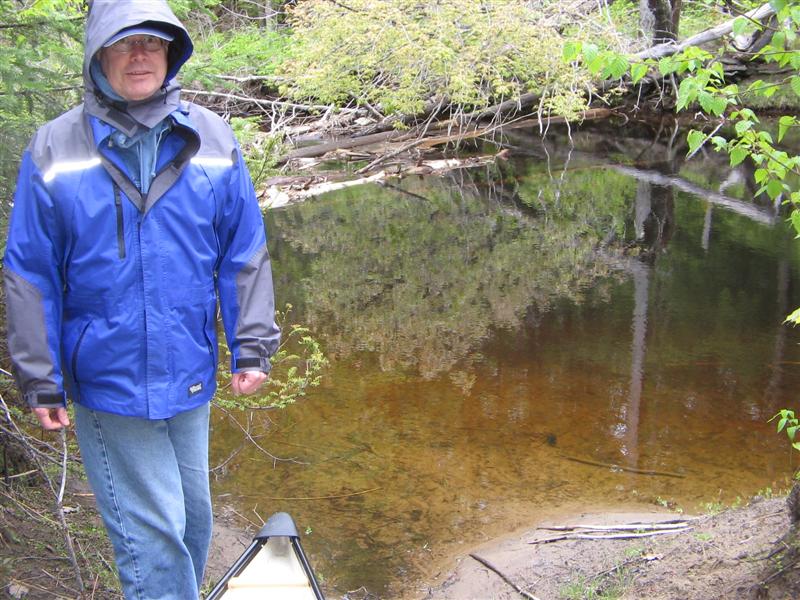
Here we are ready to put in again, five yards upstream from the latest blockage.
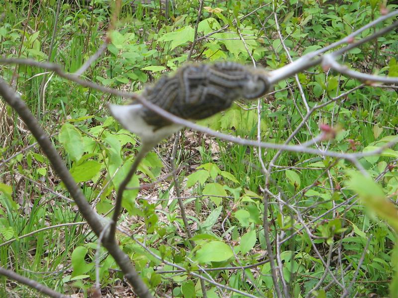
OK, so it didn’t focus very well. We spotted several caterpillar nests on our way along the banks.
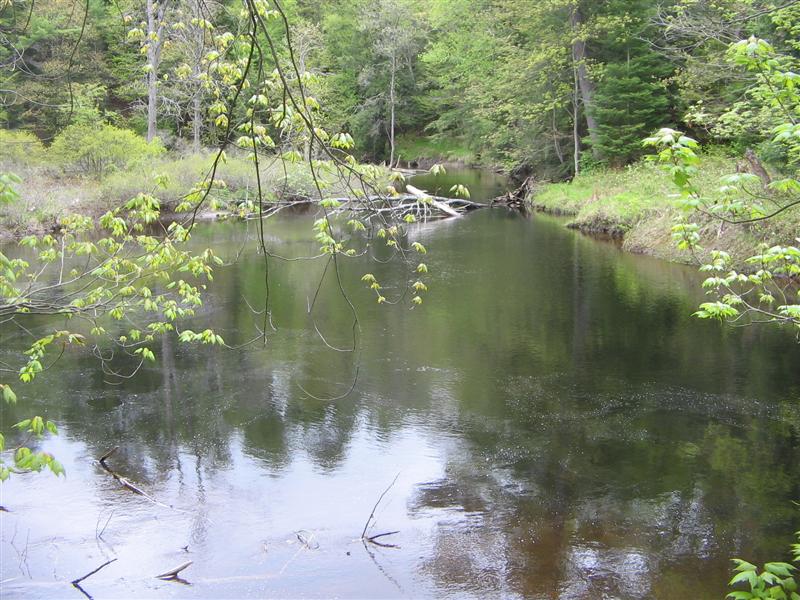
More hazards. The day’s trip was a series of twenty-minute paddles interspersed with ten-minute portages
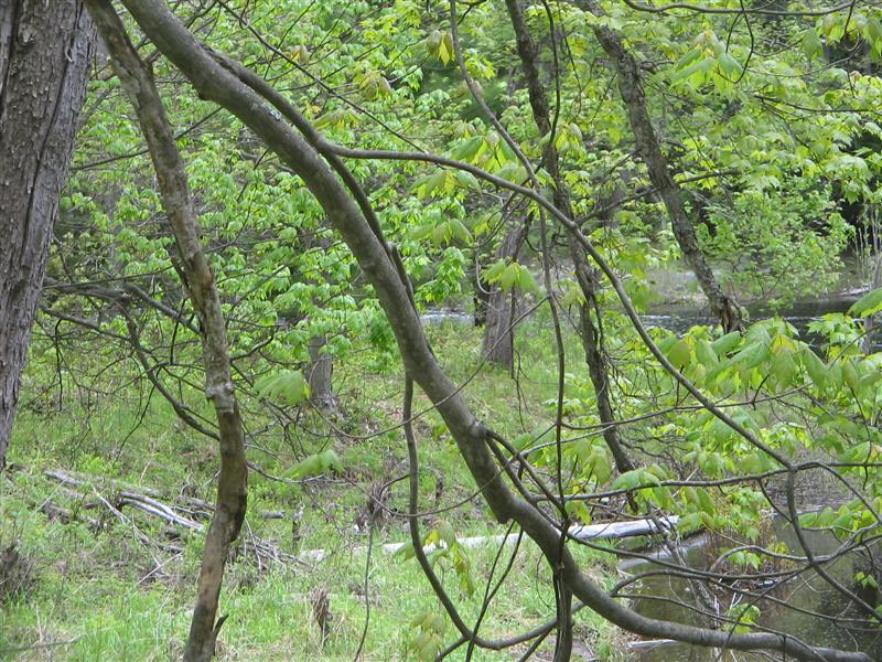
Dead-centre of this photo, but hard to spot, are the rapids that descend about ten feet, just west of Highway 11. We walked upstream past this blockage, but elected not to carry as we would get only a few hundred yards and be stopped by the falls.
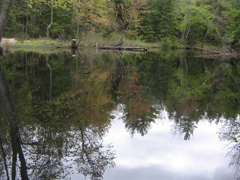
How calm the river is!
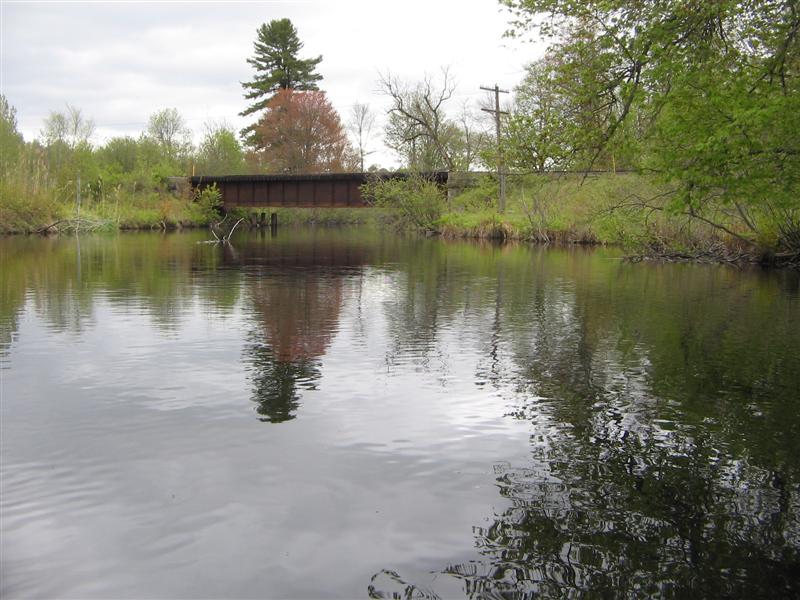
Here we are approaching the railway bridge on our way back downstream.
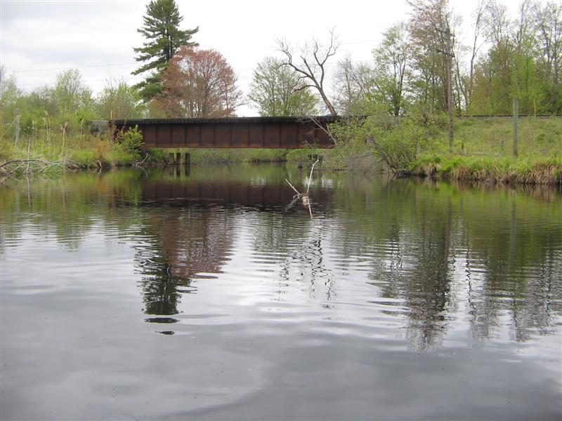
Closer!
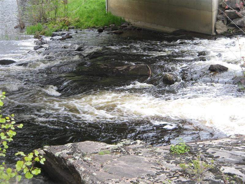
While Fred strapped the canoe onto the car, I took photos of the rapids under the bridge.
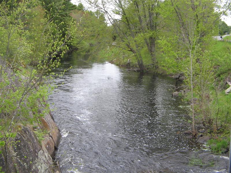
West (downstream) of the bridge, the river heads off towards our River Lane launch spot.
Looks pretty good.
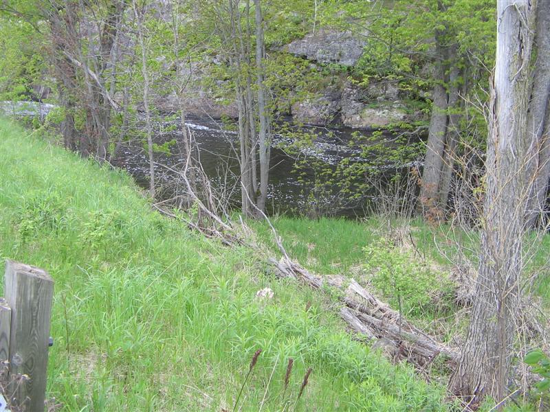
West of the bridge there is a launch spot dead centre of this photo, just off to the right of the previous photo.
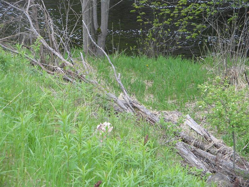
Here’s a closer look.
Here is the extent of the KahShe system have we covered to date.
709 218 7927 CPRGreaves@gmail.com Bonavista, Friday, December 04, 2020 6:44 PM Copyright © 1996-2020 Chris Greaves. All Rights Reserved. |
|---|