709-218-7927 The Landfall Garden House 60 Canon Bayley Road CANADA A0C 1B0 |
|
|---|
.JPG)
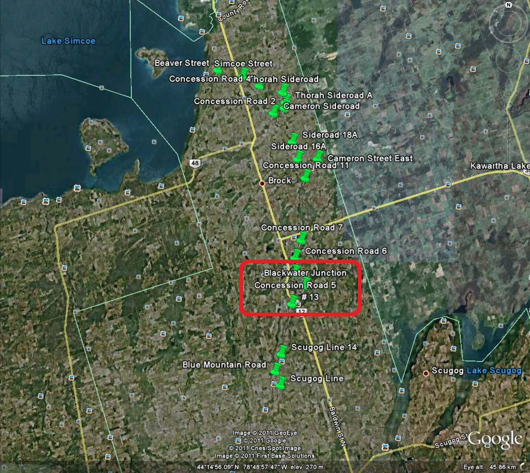
Beaver River Wetlands Conservation Area (Blackwater)
Saturday, April 30, 2011
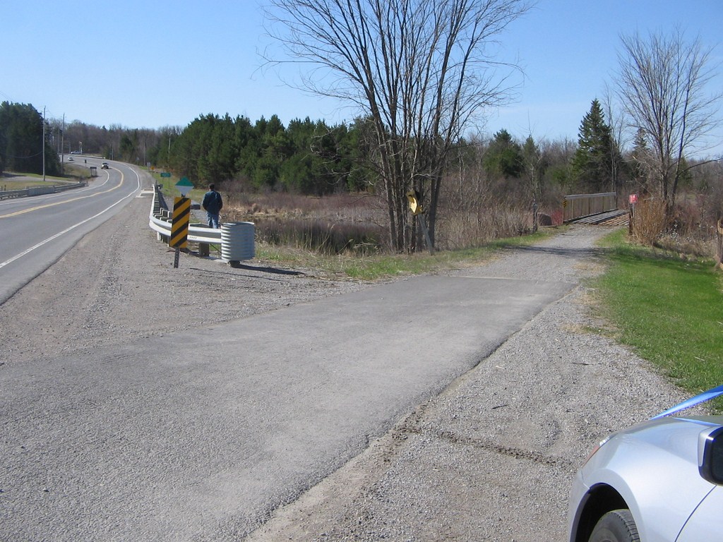
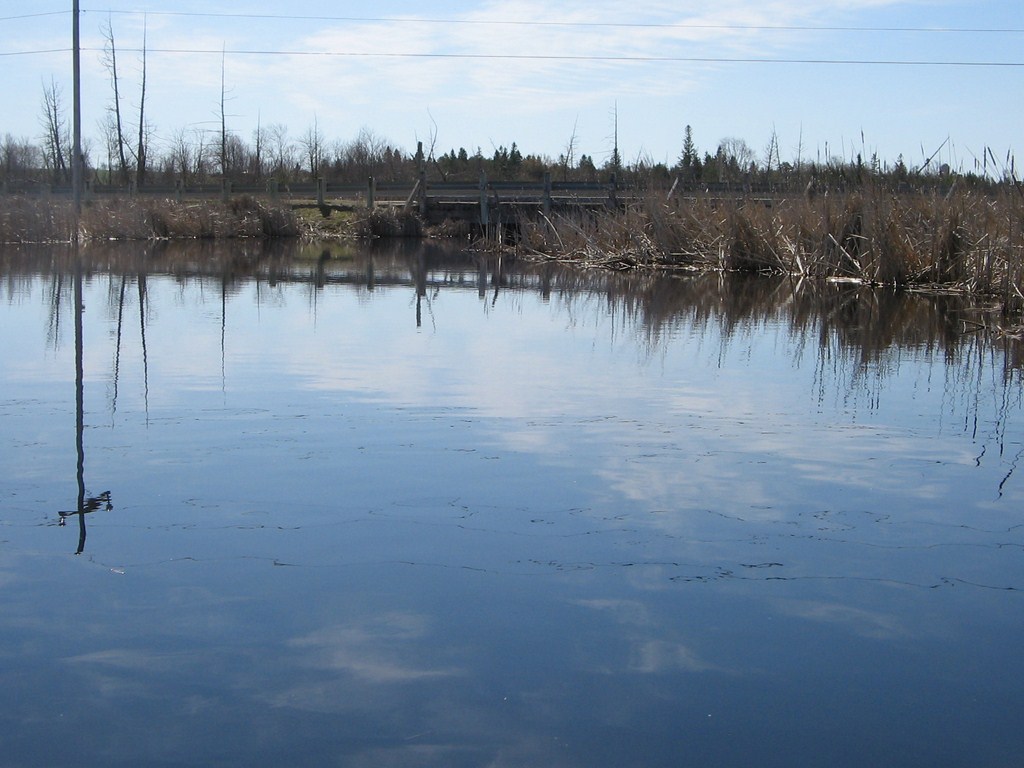
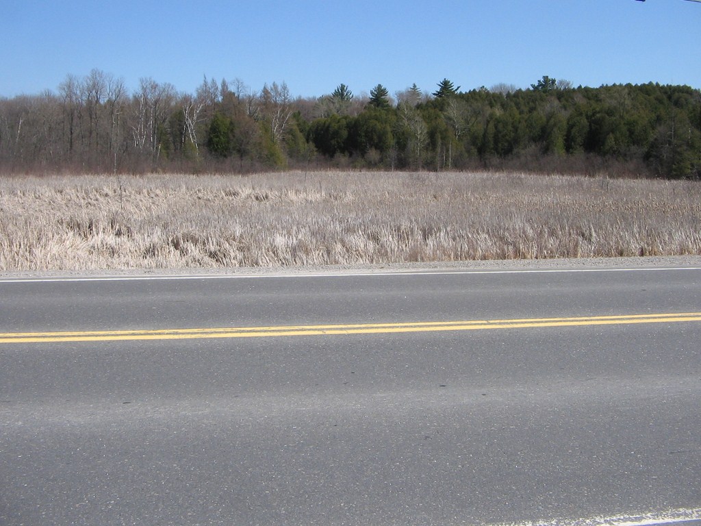
One (or more!) of about 20 launch spots along the Beaver River.
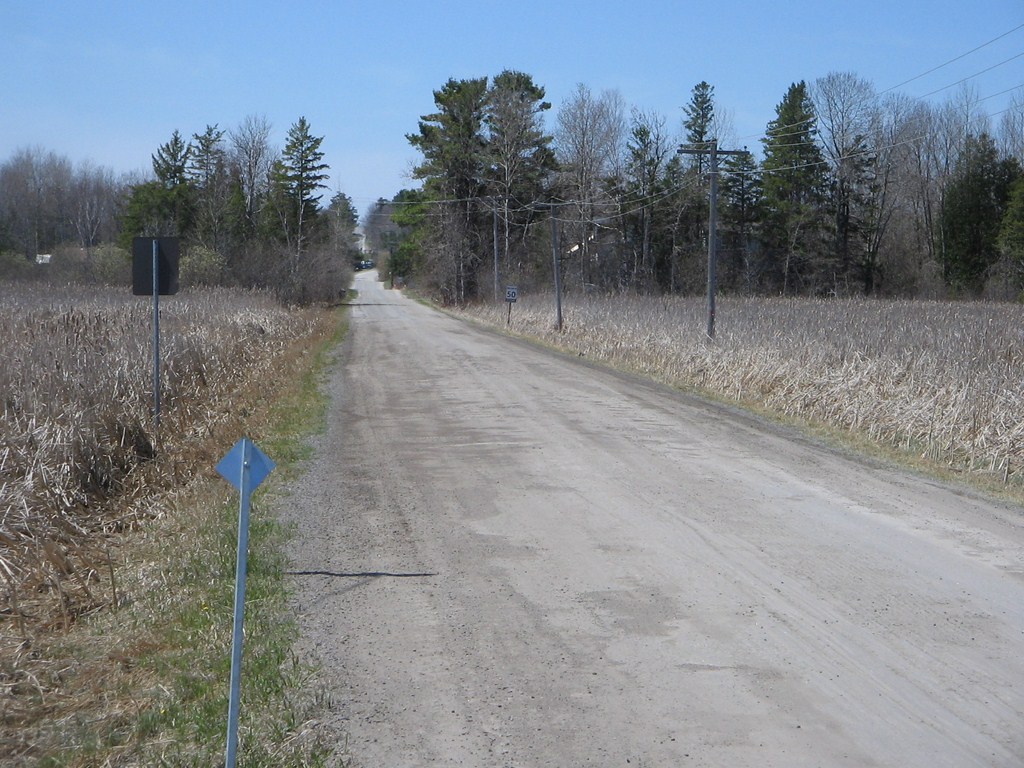
Travel time about 60 minutes from Finch Subway station via Highway 404 and then quiet country roads.
Driving directions: Finch Subway Station to Blackwater
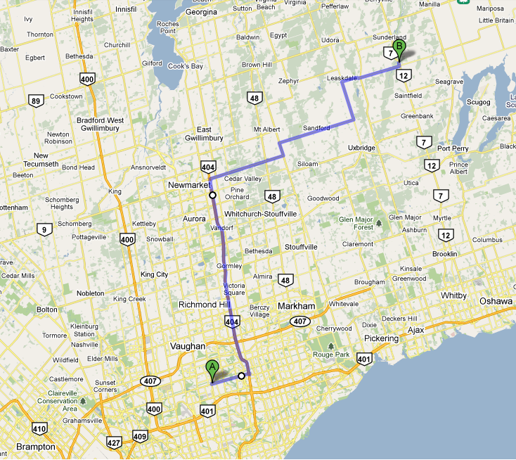
From Finch subway, basically jig North and East until you reach Highway 12. After Highway 12 crosses #13, the road drops down to a bridge. There’s your spot.
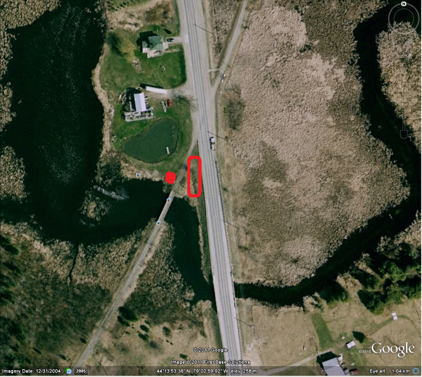
In the image above, the road bridge is at the foot of the image; turn facing south and park between the guard rail and the old railway track.
Launch the canoe on the west side of the railway track/trail.
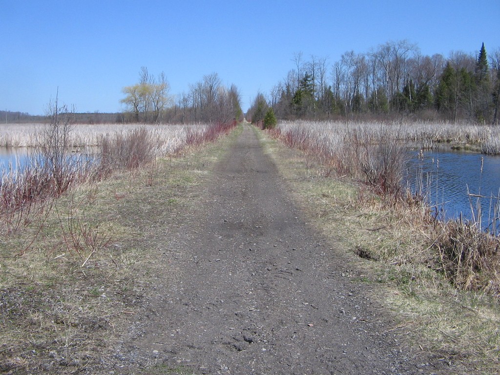
The trail is properly known as the Beaver River Wetland Trail and “The flat, dry trail runs along a portion of an abandoned railway bed.”
Another great clue for launch spots: Railway lines were often run along river or creek valleys; abandoned railway tracks provide launch spots wherever they cross a public road!
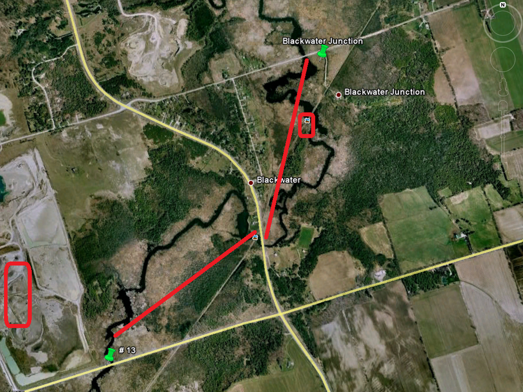
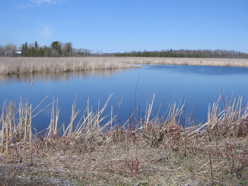
From the launch spot in the centre of the image we paddled west, upstream, to the point where the railway bed crosses county road #13 coming from Leaskdale to the west.
At the left of the image is a gravel works with a large yellow machine; the machine is visible from several points on the river.
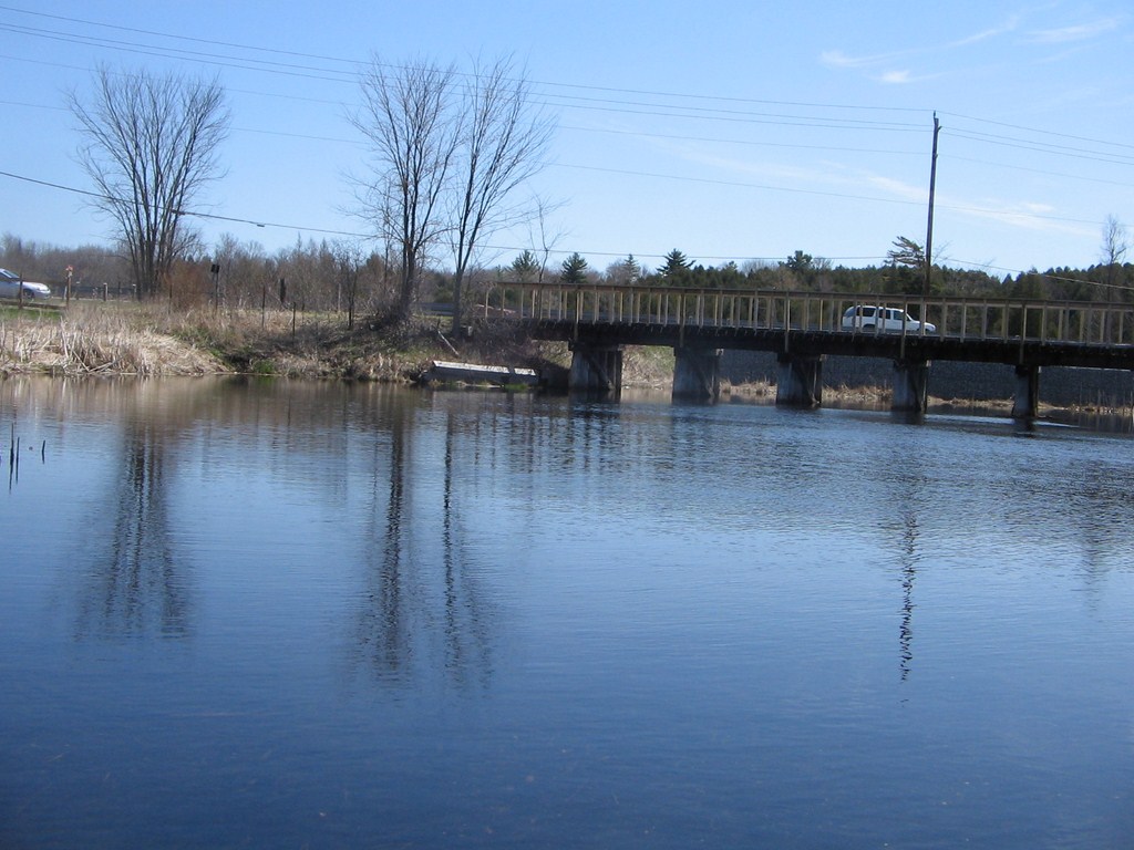
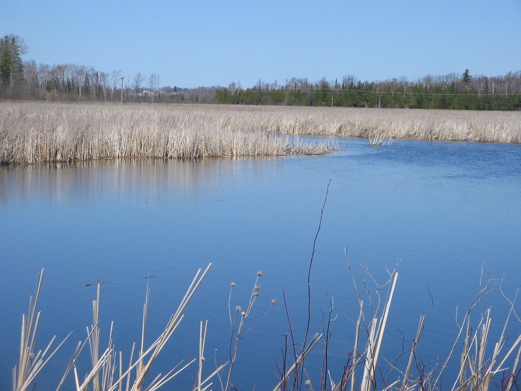
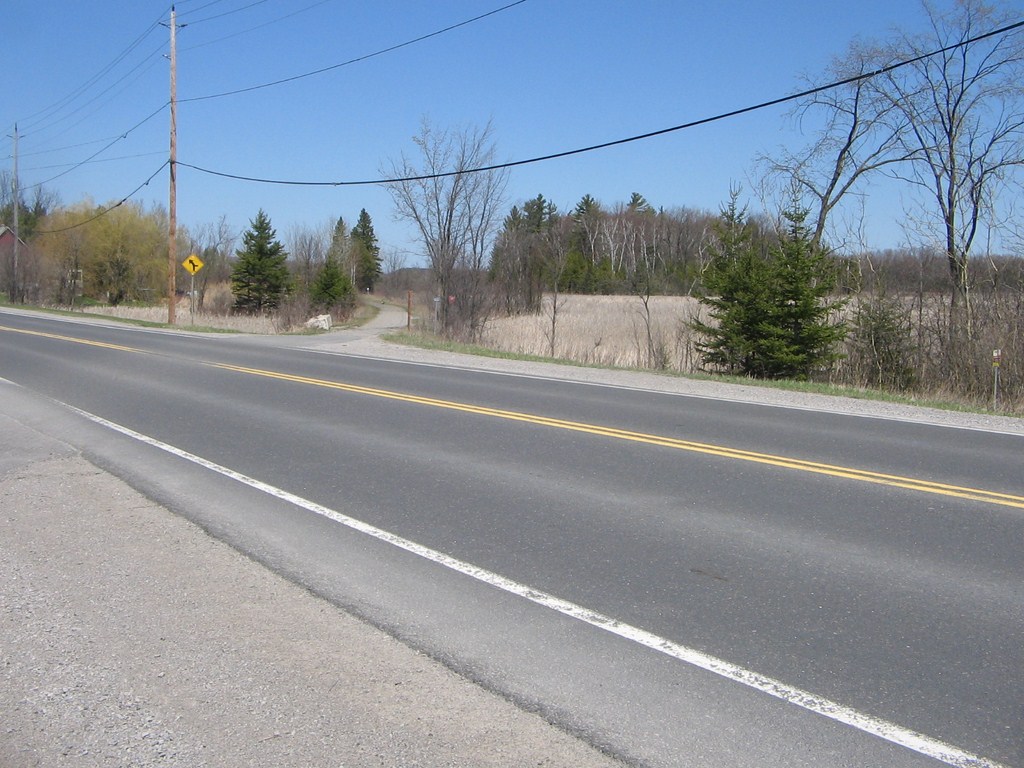
We returned, passed under the two bridges, and paddled north-east, downstream, to a lunch spot (marked with a small rectangle) – a bridge where the old rail bed makes a junction.
Hence, presumably “Blackwater Junction”.
We portaged over the rail bed (we hadn’t hardly got the stern out when the bow was going back in!) and continued downstream to the bridge at Concession #4.
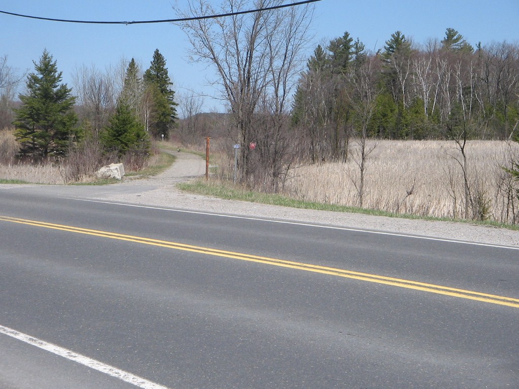
Here we are, on our arrival shortly after 10:00 a.m., looking south along Highway 12, back up the hill towards the junction of #12 and #13.
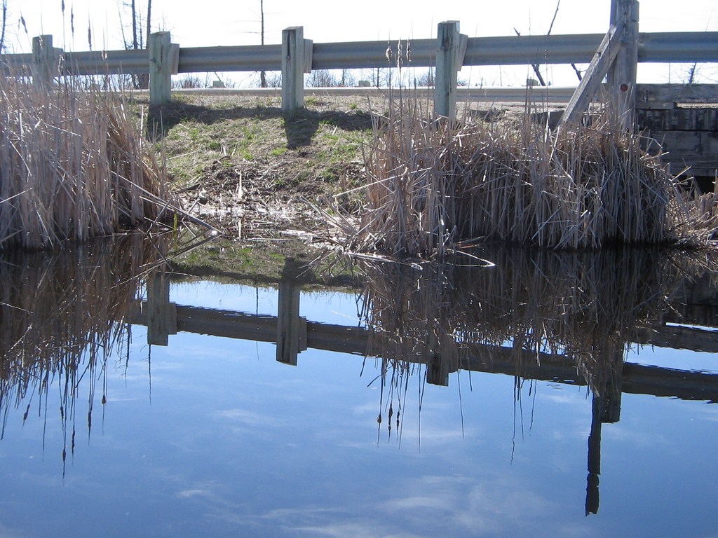
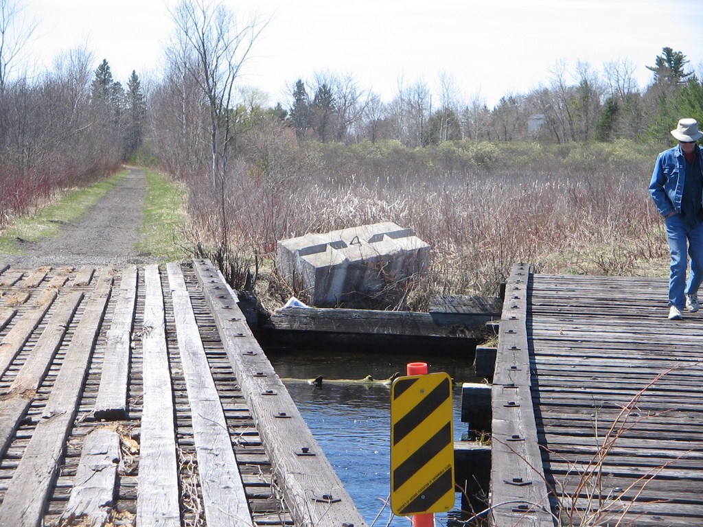
Fred inspects the bridge area for launch spots (there were two!). A portion of the abandoned railway bed has just crossed the road and heads off at an angle to the west (right).
We launched at a spot by the post with a red sign.
This was a great paddle, and the best-ever first-paddle-of-the-season.
The trip could be categorized as “weeds and reeds”, no craggy outcrops with huge trees etc. but none the less, a great paddle.
And only 60 minutes by car from Finch Subway station.
Where is everybody?
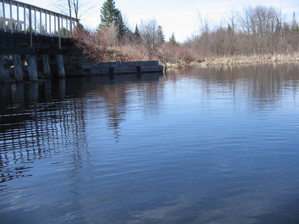
Here’s the view as we put in. That’s the bridge of the railway bed on the left. The Highway 12 bridge is out of sight further to the left.
At 10:30 a.m. the air was still, and warm.
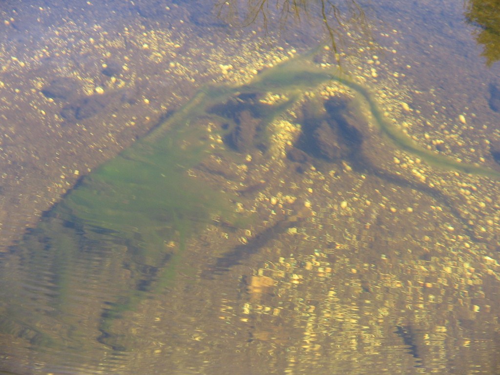
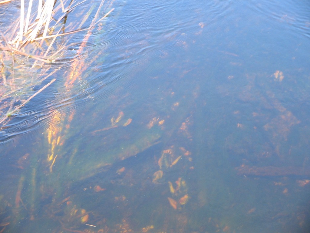
At places the creek was shallow – not more than 12 inches deep; we were amazed at the clarity of the water. This photo doesn’t do it justice. The weed shows the current.
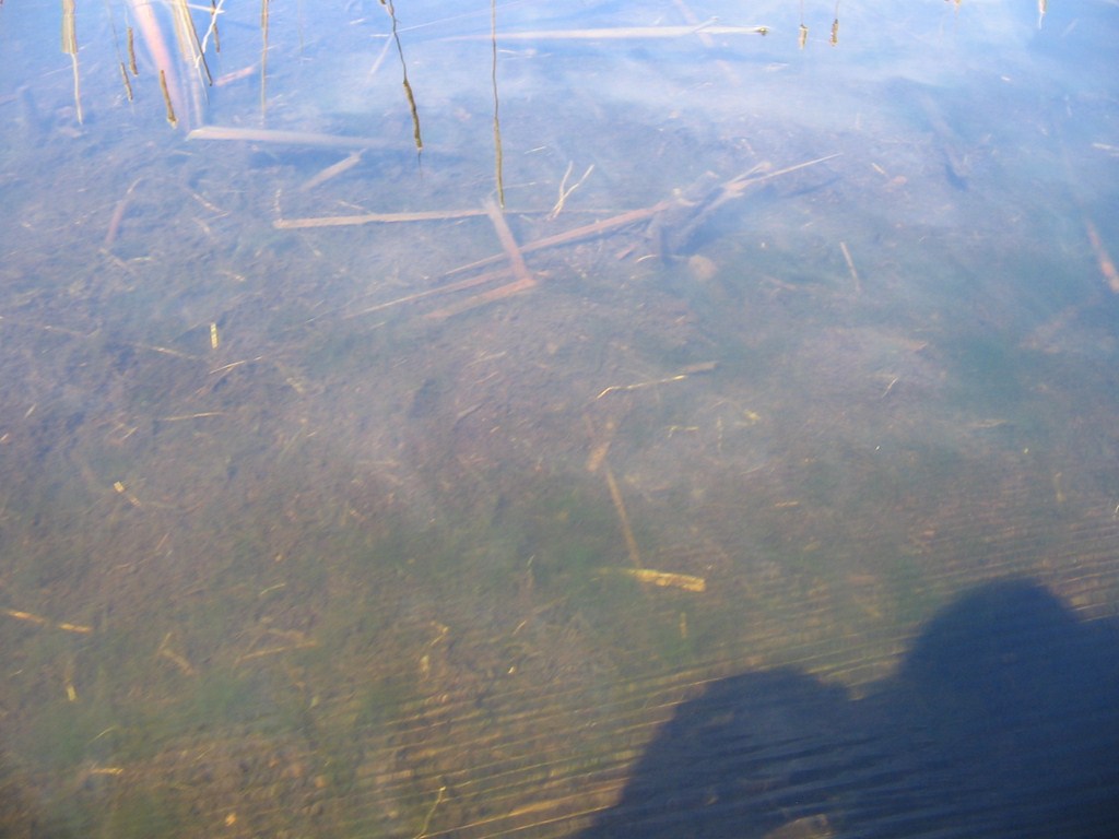
Another shot that doesn’t do it justice. We paddled for nearly 3 hours in water that allowed us to see pebbles and gravels some three feet underwater.
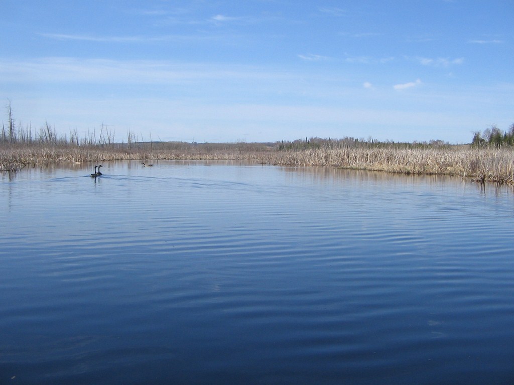
So, here we are paddling upstream against a very mild current.
Two Canada Geese escorted us on this leg, taking off and flying 50 yards with much honking, landing, and waiting for us to catch up.
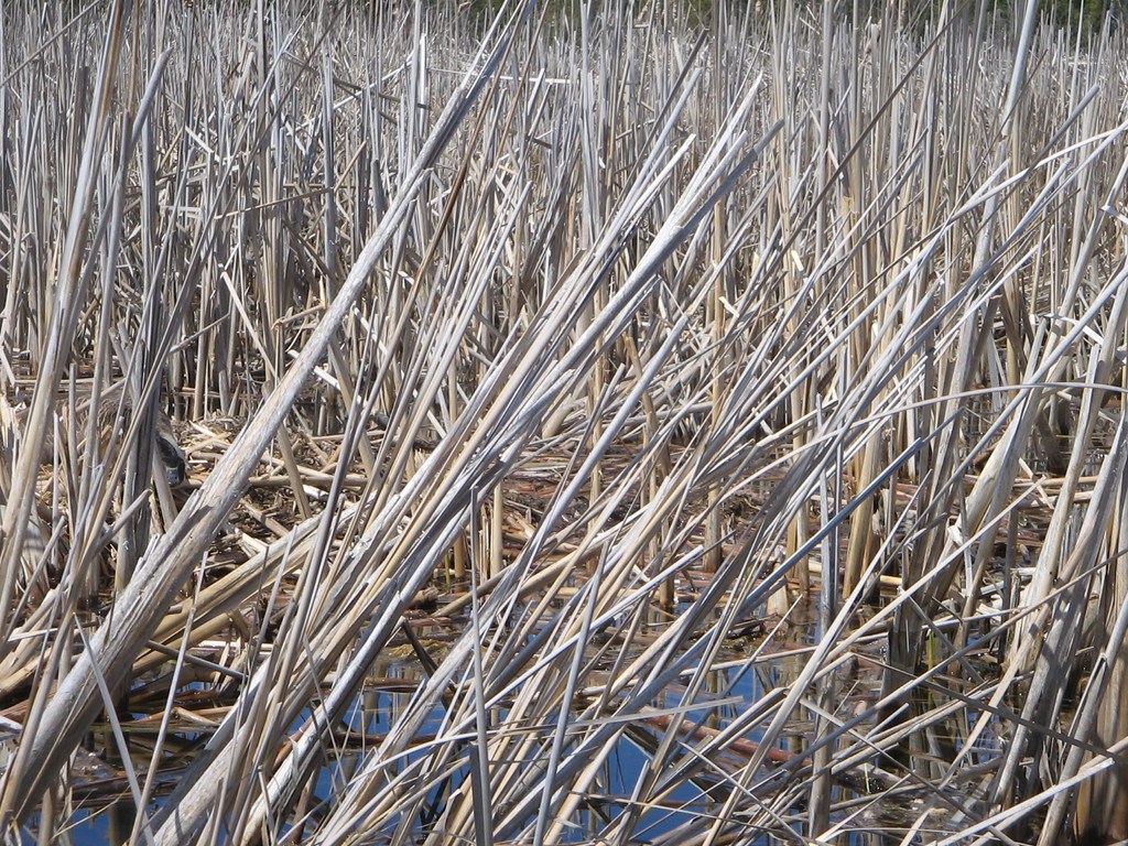
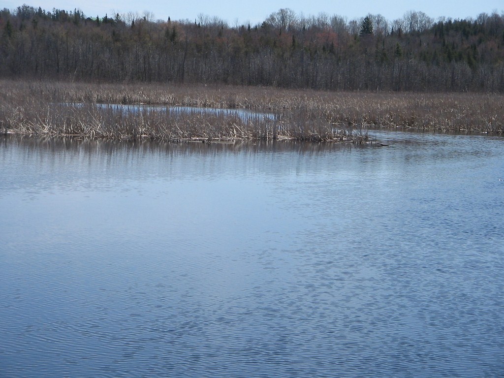
The reed-bed is a consistent theme in this area; we’ve paddled a similar area out of Coldwater , and again at Port Perry ( Lake Scugog ).
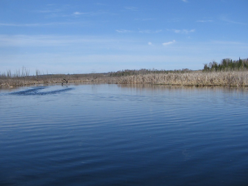
Heh heh! Here the birds take off, yet again.
I spot what I think are goslings in the water ahead. Fred’s keener eyes note that (a) they aren’t keeping up with Mum and Dad and (b) they look suspiciously like weed clumps.
We round a bend and come to the point where le pont(!) for Highway 13 crosses the river.
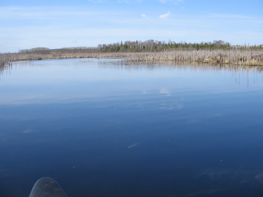
Here’s another shot as we approach the bridge. The water is so calm.
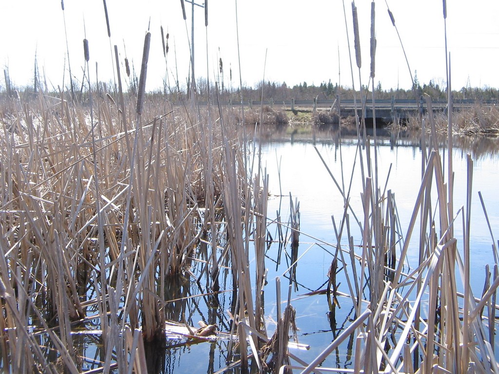
There is a launch spot off the bridge embankment.
But the bridge is way too low for us to slide under, so we turn around and head back.
More clear water, not done justice to.
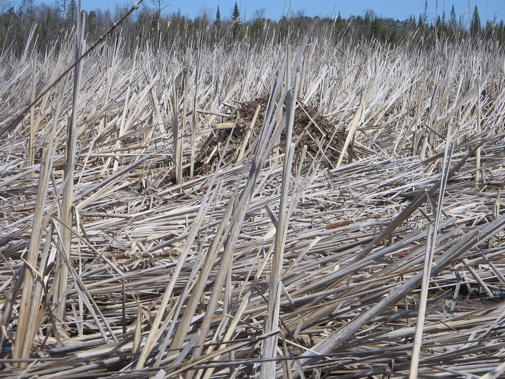
We spotted dozens of these nests. They are too small to be beaver lodges, that’s for sure.
And soon we are back at the rail bed, Fred’s car on the left. The other car is on the Highway 12 bridge, not on the rail-bed trail.
Another view of the launch spot as we prepare to glide past.
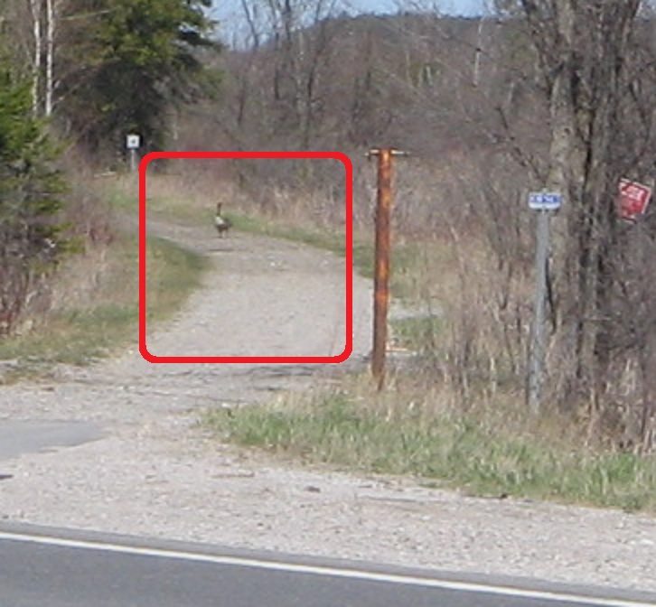
It’s hard to spot, but Fred saw a mother goose nesting, so we paddled back.
Here she is.
Where?
On the nest, centre on the left-hand edge of the image.
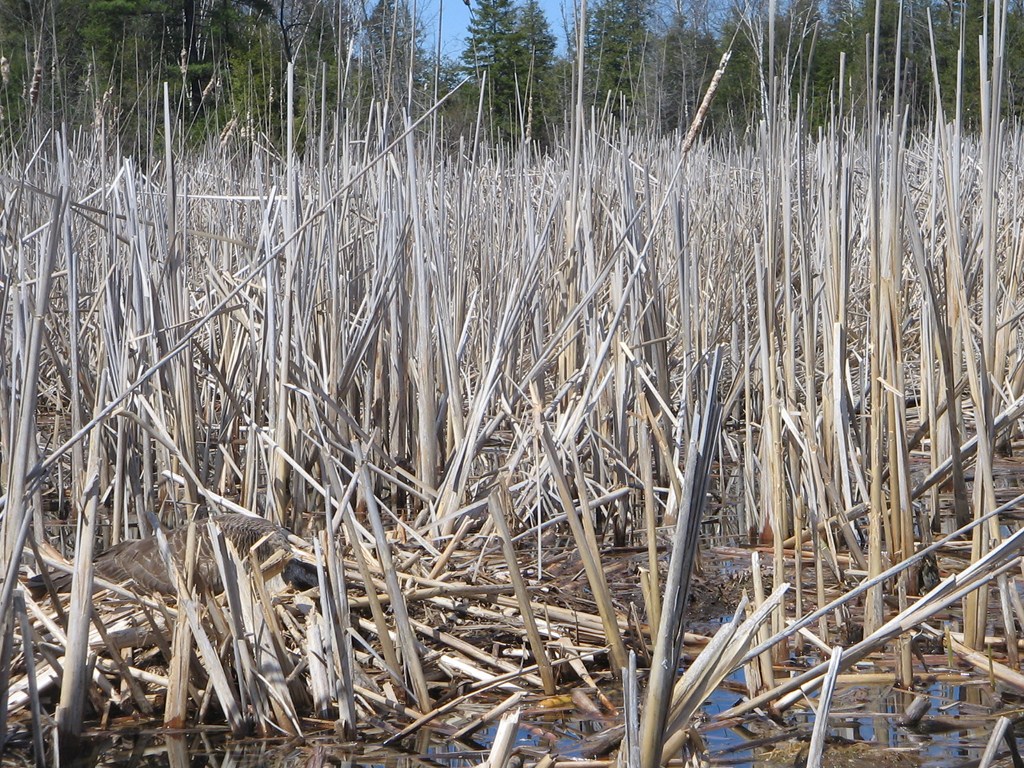
Here is a slightly better shot, lower-left corner of the image. Her head is down so we see a great deal of the blue-black coloring of her neck as she snakes her head towards us.
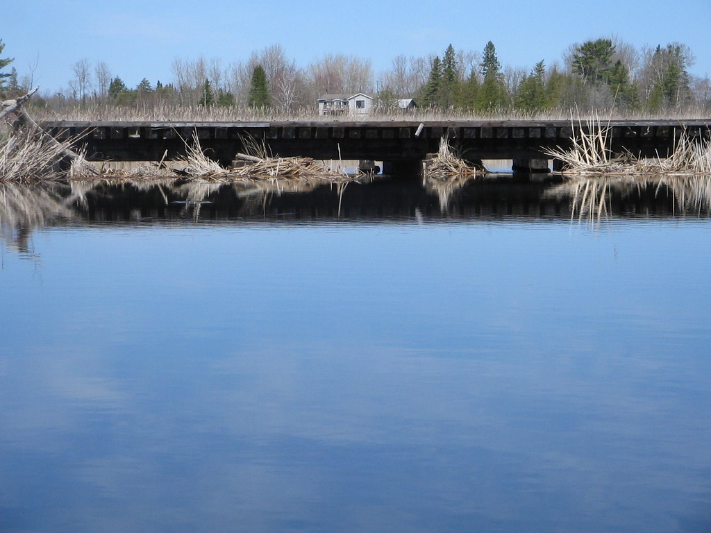
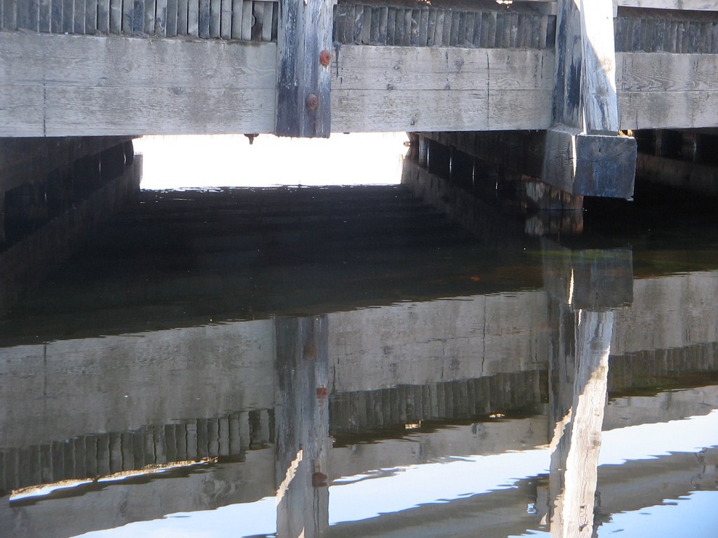
We continue downstream until we come to our lunch spot – the two bridges across the creek.
Two bridges because this is the railway junction, and it forked just before the creek, so Waddyaknow, they needed two bridges, so the contractor got paid more.
Here’s a wider-angled view as we approach the old rail bed from the south.
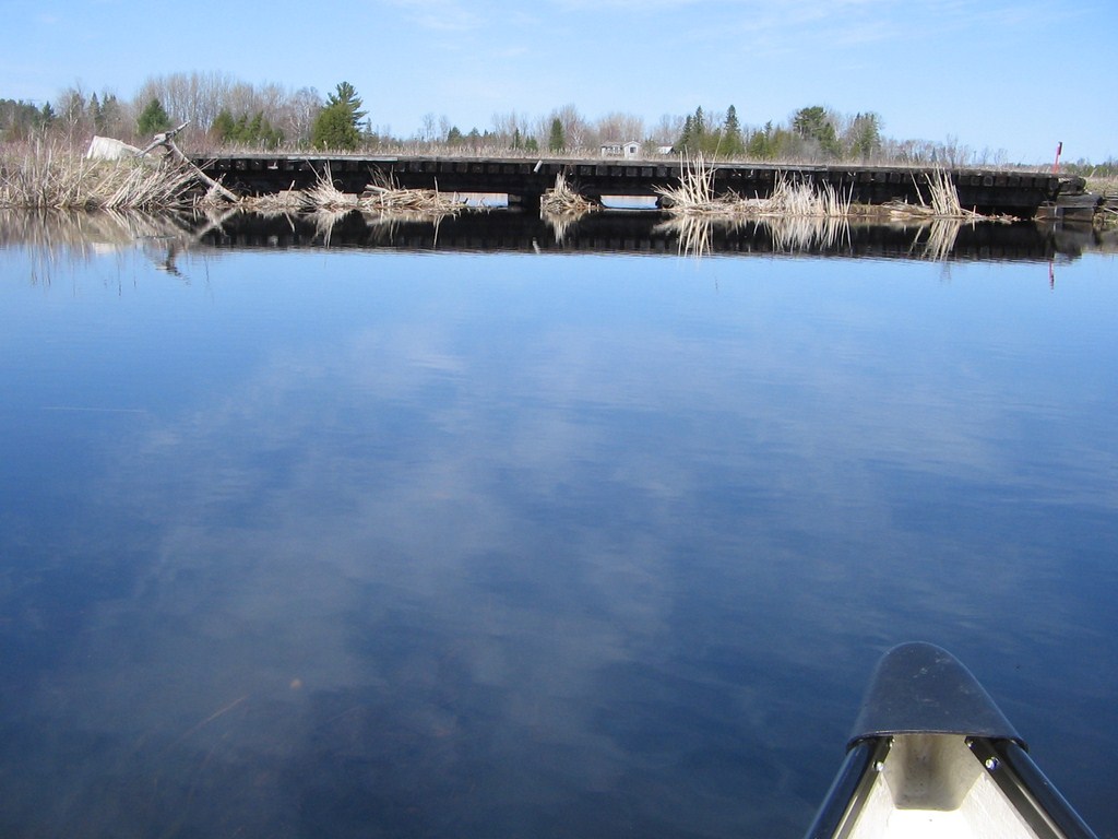
And here we are. The canoe is beached off to the right of the image.
I am looking in a north-east direction, the rail bed heads off towards Manilla and Cresswell.
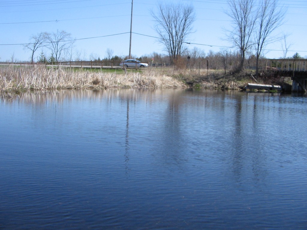
Here is the view from the rail bed. The large grey house on the left side of the image sits on the far side of Concession Road 4, so we elect to paddle that far after lunch.
The power lines run along Concession Road 4.
Here’s a close up of the creek, continuing downstream. A light breeze has sprung.
Here is a view looking south-west. The rail bed has forked by now. The left-hand trail heads back to Blackwater and our launch spot; the right-hand fork curves around and heads north and travels on to Sunderland.
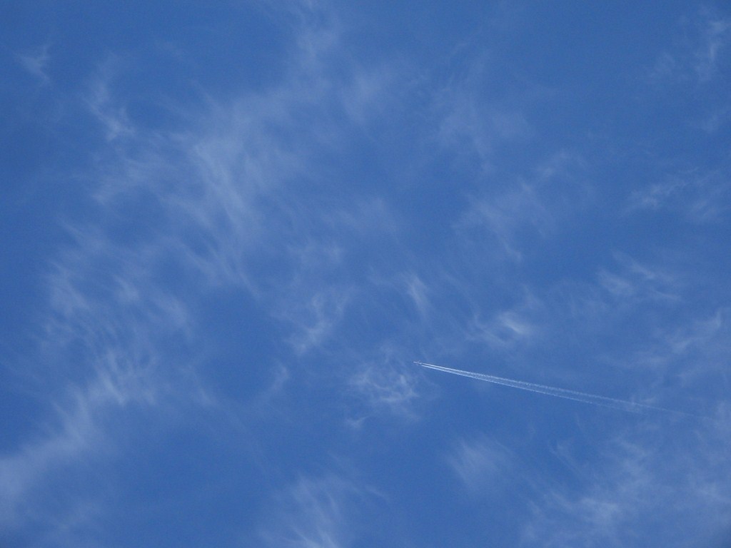
I took a couple of shots of the blue sky and cirrus clouds.
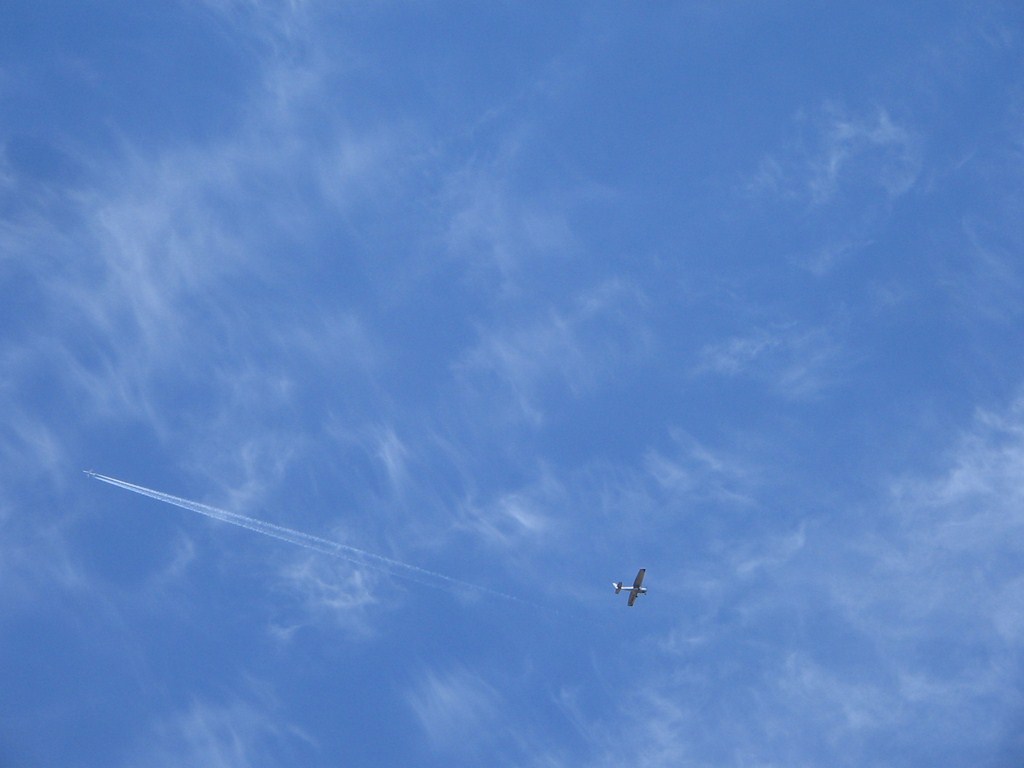
On the second shot I lucked out and caught a light plane, possibly just taken off from Baldwin , as it crossed the broomstick vapor trail of the jet.
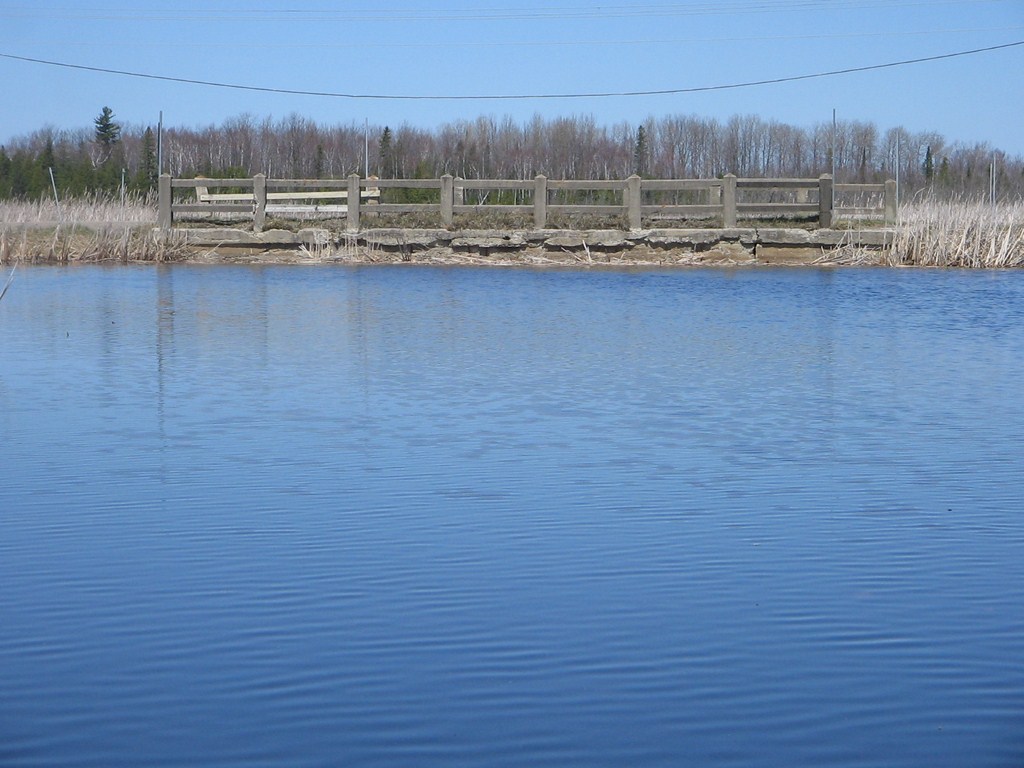
We approach Concession Road 4 and see that the bridge has been concreted up!
A most strange sight.
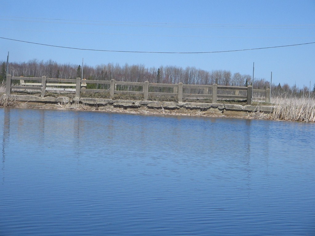
The concrete comes right down to, and below, the water line.
So where does the creek escape?
Answer: It flows under the bridge. The bridge is low enough to have trapped a mat of dead reeds; the water slips under these and emerges with its regular current on the far side, as you see.
This is the view west along Concession Road 4.
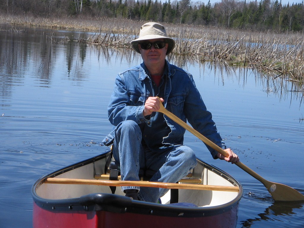
We reach our lunchtime portage, and I push Fred off before we cross, to get a good shot of the solo-paddler.
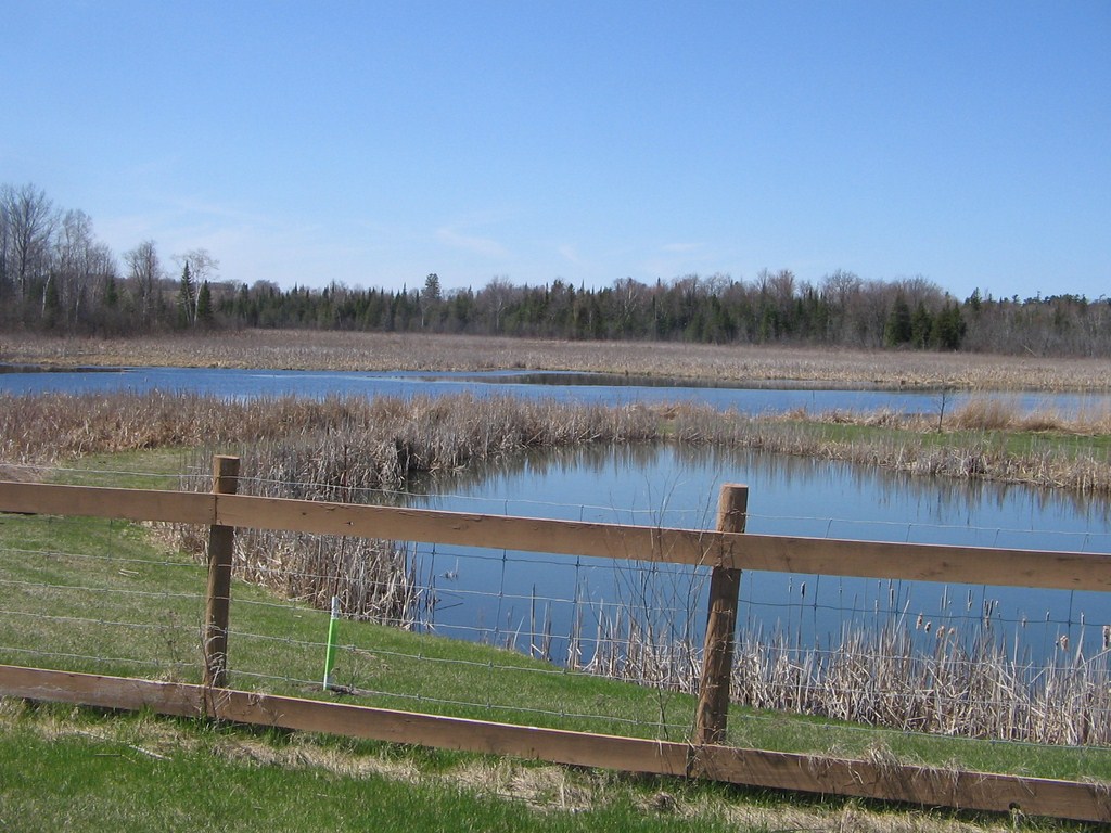
Back at our launch spot. Looking upstream, west across the fenced private property.
Back at our launch spot. Looking downstream, east, across what looks like an impenetrable bed of reeds, but there’s a navigable river in there!
Back at our launch spot. Looking north-east along the rail bed trail towards our lunch spot.
Yep!
One of the Canada Geese has come back along the trail, to make sure that we leave the property!
709 218 7927 CPRGreaves@gmail.com Bonavista, Friday, December 04, 2020 6:30 PM Copyright © 1996-2020 Chris Greaves. All Rights Reserved. |
|---|